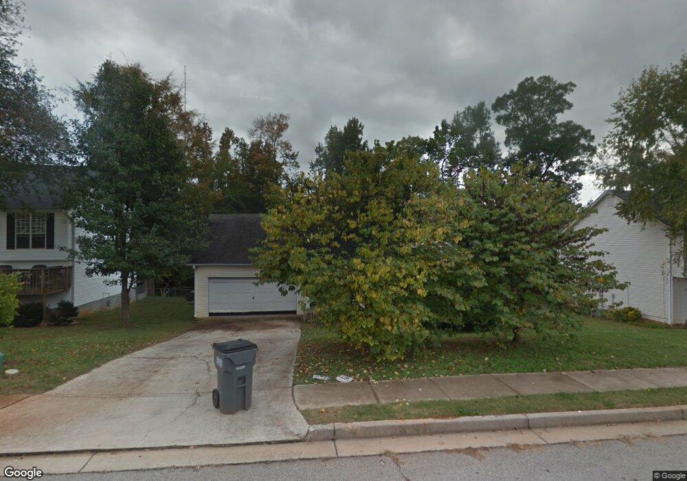
304 Brookside Dr Unit 2 McDonough, GA 30253
Estimated Value: $217,359 - $225,000
3
Beds
2
Baths
1,167
Sq Ft
$190/Sq Ft
Est. Value
About This Home
This home is located at 304 Brookside Dr Unit 2, McDonough, GA 30253 and is currently estimated at $221,340, approximately $189 per square foot. 304 Brookside Dr Unit 2 is a home located in Henry County with nearby schools including Oakland Elementary School, McDonough Middle School, and McDonough Methodist Academy.
Ownership History
Date
Name
Owned For
Owner Type
Purchase Details
Closed on
Aug 26, 2013
Sold by
Lowry Jeremy Ryan
Bought by
Lowry Leah Marie
Current Estimated Value
Purchase Details
Closed on
Jun 6, 2006
Sold by
Kitchens Lance L
Bought by
Lowry Jeremy R and Foubert Leah
Home Financials for this Owner
Home Financials are based on the most recent Mortgage that was taken out on this home.
Original Mortgage
$113,943
Interest Rate
6.51%
Mortgage Type
FHA
Purchase Details
Closed on
May 8, 1998
Sold by
Contract Ivey
Bought by
Kitchens Lance L
Home Financials for this Owner
Home Financials are based on the most recent Mortgage that was taken out on this home.
Original Mortgage
$80,900
Interest Rate
7.02%
Mortgage Type
FHA
Create a Home Valuation Report for This Property
The Home Valuation Report is an in-depth analysis detailing your home's value as well as a comparison with similar homes in the area
Home Values in the Area
Average Home Value in this Area
Purchase History
| Date | Buyer | Sale Price | Title Company |
|---|---|---|---|
| Lowry Leah Marie | -- | -- | |
| Lowry Jeremy R | $114,900 | -- | |
| Kitchens Lance L | $82,900 | -- |
Source: Public Records
Mortgage History
| Date | Status | Borrower | Loan Amount |
|---|---|---|---|
| Previous Owner | Lowry Jeremy R | $113,943 | |
| Previous Owner | Kitchens Lance L | $80,900 |
Source: Public Records
Tax History
| Year | Tax Paid | Tax Assessment Tax Assessment Total Assessment is a certain percentage of the fair market value that is determined by local assessors to be the total taxable value of land and additions on the property. | Land | Improvement |
|---|---|---|---|---|
| 2025 | $2,549 | $87,240 | $14,000 | $73,240 |
| 2024 | $2,549 | $85,880 | $14,000 | $71,880 |
| 2023 | $2,113 | $89,640 | $12,000 | $77,640 |
| 2022 | $2,095 | $67,120 | $12,000 | $55,120 |
| 2021 | $1,690 | $50,640 | $12,000 | $38,640 |
| 2020 | $1,583 | $46,400 | $8,000 | $38,400 |
| 2019 | $1,517 | $42,880 | $8,000 | $34,880 |
| 2018 | $1,295 | $37,240 | $7,200 | $30,040 |
| 2016 | $1,079 | $31,480 | $7,200 | $24,280 |
| 2015 | $983 | $28,400 | $7,200 | $21,200 |
| 2014 | $860 | $25,880 | $6,000 | $19,880 |
Source: Public Records
Map
Nearby Homes
- 619 Fieldcrest Dr
- 721 Village Overlook
- 205 Coral Cir
- 310 Parkview Place Dr
- 132 Samanthas Way
- 853 Parkside Place Ave
- 243 Long Dr
- 38 Head St
- 100 Greenview Dr
- 167 London Dr
- 957 Parkside Place Ave
- 61 Cherry St
- 259 Paulownia Cir
- 5060 Pioneer Pkwy
- 426 Bainbridge Dr
- 115 Samanthas Way
- 1050 McConaughy Ct
- 162 Sherwood Loop
- 116 Madeline Ct
- 75 Greenway Ct
- 302 Brookside Dr
- 306 Brookside Dr
- 306 Brookside Dr Unit 2
- 405 Edgewood Dr
- 407 Edgewood Dr Unit 2
- 300 Brookside Dr
- 403 Edgewood Dr
- 190 Regency Park Dr
- 308 Brookside Dr
- 632 Fieldcrest Dr Unit 2
- 409 Edgewood Dr Unit 2
- 401 Edgewood Dr
- 309 Brookside Dr Unit 2
- 188 Regency Park Dr
- 310 Brookside Dr
- 310 Brookside Dr Unit 2
- 411 Edgewood Dr
- 630 Fieldcrest Dr
- 817 Pavilion Ct
- 311 Brookside Dr Unit 2
Your Personal Tour Guide
Ask me questions while you tour the home.