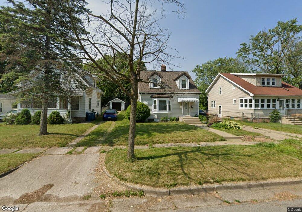
304 Burnham St W Battle Creek, MI 49015
Central Battle Creek NeighborhoodEstimated Value: $129,000 - $159,174
4
Beds
1
Bath
1,125
Sq Ft
$128/Sq Ft
Est. Value
About This Home
This home is located at 304 Burnham St W, Battle Creek, MI 49015 and is currently estimated at $144,544, approximately $128 per square foot. 304 Burnham St W is a home located in Calhoun County with nearby schools including Lakeview Middle School, Lakeview High School, and Battle Creek Montessori Academy.
Ownership History
Date
Name
Owned For
Owner Type
Purchase Details
Closed on
Aug 17, 2007
Sold by
Marjorie A Hackett Estate
Bought by
Wolcott Chad Demaray
Current Estimated Value
Home Financials for this Owner
Home Financials are based on the most recent Mortgage that was taken out on this home.
Original Mortgage
$46,400
Outstanding Balance
$29,543
Interest Rate
6.77%
Mortgage Type
Purchase Money Mortgage
Estimated Equity
$115,001
Create a Home Valuation Report for This Property
The Home Valuation Report is an in-depth analysis detailing your home's value as well as a comparison with similar homes in the area
Home Values in the Area
Average Home Value in this Area
Purchase History
| Date | Buyer | Sale Price | Title Company |
|---|---|---|---|
| Wolcott Chad Demaray | $58,000 | Chicago Title |
Source: Public Records
Mortgage History
| Date | Status | Borrower | Loan Amount |
|---|---|---|---|
| Open | Wolcott Chad Demaray | $46,400 |
Source: Public Records
Tax History Compared to Growth
Tax History
| Year | Tax Paid | Tax Assessment Tax Assessment Total Assessment is a certain percentage of the fair market value that is determined by local assessors to be the total taxable value of land and additions on the property. | Land | Improvement |
|---|---|---|---|---|
| 2025 | -- | $64,700 | $0 | $0 |
| 2024 | $1,068 | $56,440 | $0 | $0 |
| 2023 | $1,221 | $46,245 | $0 | $0 |
| 2022 | $965 | $38,445 | $0 | $0 |
| 2021 | $1,152 | $33,868 | $0 | $0 |
| 2020 | $1,140 | $31,593 | $0 | $0 |
| 2019 | $1,079 | $29,407 | $0 | $0 |
| 2018 | $1,079 | $26,911 | $1,191 | $25,720 |
| 2017 | $1,120 | $22,824 | $0 | $0 |
| 2016 | $1,136 | $25,877 | $0 | $0 |
| 2015 | $1,113 | $25,309 | $2,129 | $23,180 |
| 2014 | $1,113 | $24,156 | $2,129 | $22,027 |
Source: Public Records
Map
Nearby Homes
- 256 Burr St
- 387 Goguac St W
- 267 Eldred St
- 349 Goguac St W
- 236 Burnham St W
- 19 Ridge St
- 324 Goguac St W
- 49 N La Vista Blvd
- 133 Harris St
- 9 Foster Ave
- 715 Ingram St
- 64 E Grand Circle Ave
- 178 Webber St
- 184 Territorial Rd W
- 100 Eldred St
- 111 Burnham St W
- 212 Goguac St W
- 39 Harris St
- 149 Cameron Dr
- 760 Goguac St W
- 308 Burnham St W
- 312 Burnham St W
- 292 Burnham St W
- 316 Burnham St W
- 275 Burr St
- 318 Burnham St W
- 255 Burr St
- 299 Burnham St W
- 307 Burnham St W
- 297 Burnham St W
- 307 Burr St
- 313 Burnham St W
- 291 Burnham St W
- 320 Burnham St W
- 324 Burnham St W
- 284 Burnham St W
- 270 Burr St
- 317 Burnham St W
- 319 Burr St
- 251 Burr St