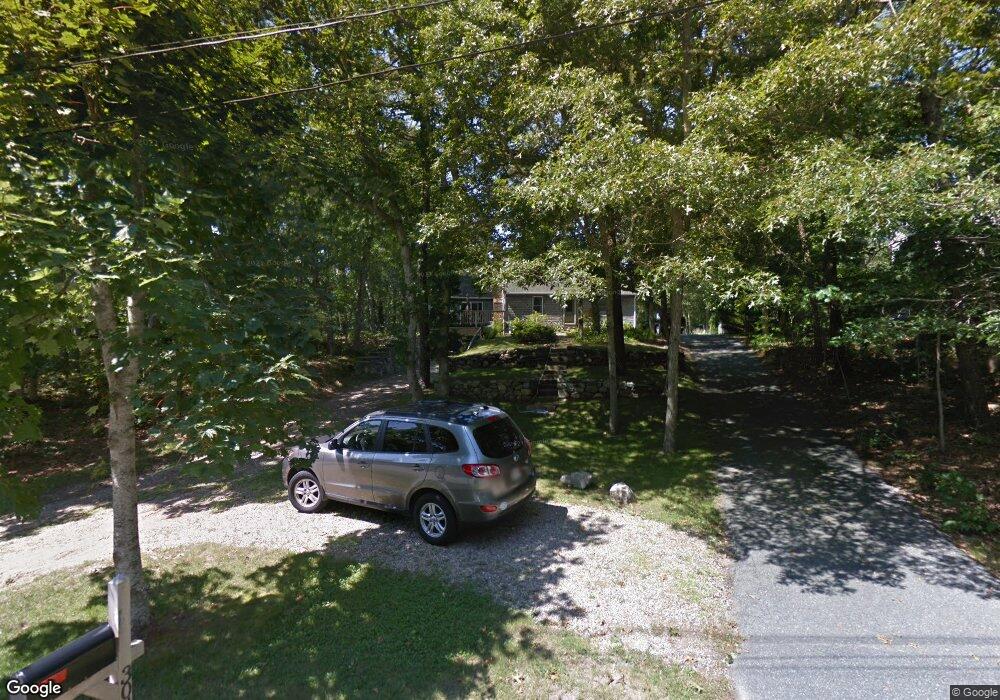
304 Commons Way Brewster, MA 02631
Estimated Value: $660,000 - $791,000
3
Beds
2
Baths
1,687
Sq Ft
$416/Sq Ft
Est. Value
About This Home
This home is located at 304 Commons Way, Brewster, MA 02631 and is currently estimated at $701,247, approximately $415 per square foot. 304 Commons Way is a home located in Barnstable County with nearby schools including Stony Brook Elementary School, Eddy Elementary School, and Nauset Regional Middle School.
Ownership History
Date
Name
Owned For
Owner Type
Purchase Details
Closed on
Jul 31, 2008
Sold by
Mountain Mary Ellen
Bought by
Carter Jeff and Carter Melissa
Current Estimated Value
Home Financials for this Owner
Home Financials are based on the most recent Mortgage that was taken out on this home.
Original Mortgage
$319,978
Outstanding Balance
$211,449
Interest Rate
6.47%
Mortgage Type
Purchase Money Mortgage
Estimated Equity
$489,798
Create a Home Valuation Report for This Property
The Home Valuation Report is an in-depth analysis detailing your home's value as well as a comparison with similar homes in the area
Home Values in the Area
Average Home Value in this Area
Purchase History
| Date | Buyer | Sale Price | Title Company |
|---|---|---|---|
| Carter Jeff | $325,000 | -- |
Source: Public Records
Mortgage History
| Date | Status | Borrower | Loan Amount |
|---|---|---|---|
| Open | Carter Jeff | $319,978 |
Source: Public Records
Tax History Compared to Growth
Tax History
| Year | Tax Paid | Tax Assessment Tax Assessment Total Assessment is a certain percentage of the fair market value that is determined by local assessors to be the total taxable value of land and additions on the property. | Land | Improvement |
|---|---|---|---|---|
| 2025 | $3,682 | $535,200 | $181,000 | $354,200 |
| 2024 | $3,473 | $510,000 | $170,800 | $339,200 |
| 2023 | $3,187 | $456,000 | $152,500 | $303,500 |
| 2022 | $3,269 | $416,400 | $158,800 | $257,600 |
| 2021 | $3,031 | $353,300 | $138,000 | $215,300 |
| 2020 | $2,983 | $346,000 | $138,000 | $208,000 |
| 2019 | $2,861 | $333,400 | $132,800 | $200,600 |
| 2018 | $2,713 | $328,500 | $132,800 | $195,700 |
| 2017 | $2,655 | $316,400 | $132,800 | $183,600 |
| 2016 | $2,568 | $304,600 | $130,200 | $174,400 |
| 2015 | $2,461 | $298,000 | $127,600 | $170,400 |
Source: Public Records
Map
Nearby Homes
- 274 Commons Way
- 737 Thousand Oaks Dr
- 16 Commons Way
- 0 Commons Way Unit 22504099
- 765 Millstone Rd
- 96 Eaton Ln Unit 96
- 78 Eaton Ln Unit 78
- 78 Eaton Ln
- 52 Eaton Ln Unit (52)
- 958 Long Pond Rd
- 82 Fletcher Ln Unit I
- 100 Fletcher Ln Unit E
- 60 Fletcher Ln Unit H
- 60 Fletcher Ln Unit C
- 63 Trevor Ln Unit 63
- 43 Billington Ln
- 43 Billington Ln Unit 43
- 277 Lund Farm Way
- 82 Middlecott Ln
- 55 Leona Terrace
- 296 Commons Way
- 314 Commons Way
- 284 Commons Way
- 132 Quasons Path
- 303 Commons Way
- 313 Commons Way
- 295 Commons Way
- 181 Quasons Path
- 565 1000 Oaks Dr
- 283 Commons Way
- 131 Quasons Path
- 0 Quasons Path
- 116 Quasons Path
- 266 Commons Way
- 22 Abners Cir
- 610 1000 Oaks Dr
- 504 1000 Oaks Dr
- 526 1000 Oaks Dr
- 115 Quasons Path
- 30 Abners Cir