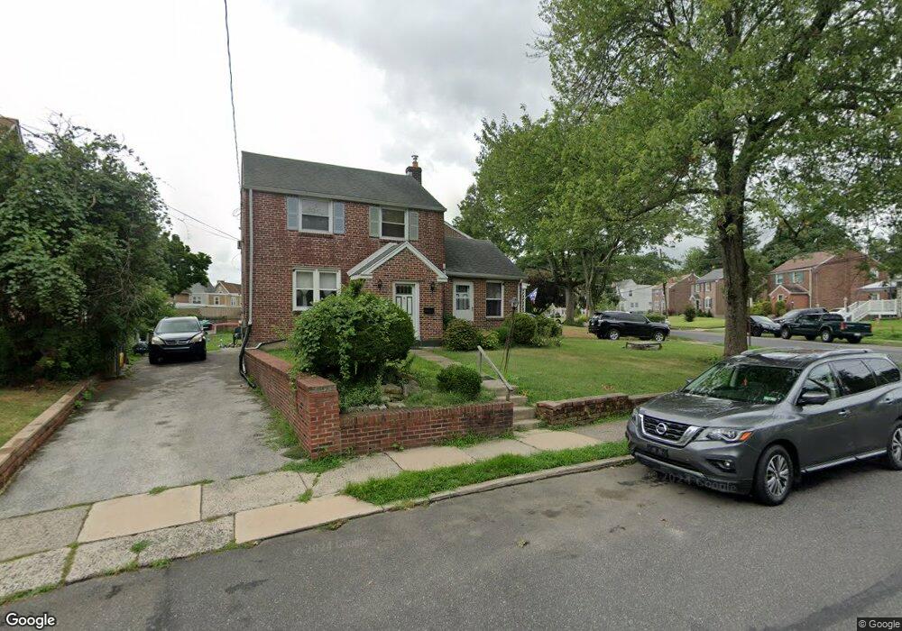
304 Derwyn Rd Lansdowne, PA 19050
Estimated Value: $296,430 - $373,000
3
Beds
2
Baths
1,920
Sq Ft
$174/Sq Ft
Est. Value
About This Home
This home is located at 304 Derwyn Rd, Lansdowne, PA 19050 and is currently estimated at $333,858, approximately $173 per square foot. 304 Derwyn Rd is a home located in Delaware County with nearby schools including Garrettford El School, Drexel Hill Middle School, and Upper Darby High School.
Ownership History
Date
Name
Owned For
Owner Type
Purchase Details
Closed on
Jun 8, 2005
Sold by
Mcgrath Margaret A
Bought by
Oyugi Jack and Oyugi Faith Sarah
Current Estimated Value
Home Financials for this Owner
Home Financials are based on the most recent Mortgage that was taken out on this home.
Original Mortgage
$141,600
Outstanding Balance
$74,209
Interest Rate
5.82%
Mortgage Type
Fannie Mae Freddie Mac
Estimated Equity
$259,649
Purchase Details
Closed on
Sep 17, 2002
Sold by
Mcgrath Margaret A
Bought by
Margaret A Mcgrath Revocable Living Tr
Purchase Details
Closed on
Apr 1, 1998
Sold by
Mcgrath James K and Mcgrath Margaret A
Bought by
Mcgrath Margaret A
Home Financials for this Owner
Home Financials are based on the most recent Mortgage that was taken out on this home.
Original Mortgage
$91,000
Interest Rate
6.98%
Create a Home Valuation Report for This Property
The Home Valuation Report is an in-depth analysis detailing your home's value as well as a comparison with similar homes in the area
Home Values in the Area
Average Home Value in this Area
Purchase History
| Date | Buyer | Sale Price | Title Company |
|---|---|---|---|
| Oyugi Jack | $177,000 | Trident Land Transfer Co | |
| Margaret A Mcgrath Revocable Living Tr | -- | -- | |
| Mcgrath Margaret A | -- | -- |
Source: Public Records
Mortgage History
| Date | Status | Borrower | Loan Amount |
|---|---|---|---|
| Open | Oyugi Jack | $141,600 | |
| Previous Owner | Mcgrath Margaret A | $91,000 |
Source: Public Records
Tax History Compared to Growth
Tax History
| Year | Tax Paid | Tax Assessment Tax Assessment Total Assessment is a certain percentage of the fair market value that is determined by local assessors to be the total taxable value of land and additions on the property. | Land | Improvement |
|---|---|---|---|---|
| 2025 | $6,784 | $160,400 | $44,490 | $115,910 |
| 2024 | $6,784 | $160,400 | $44,490 | $115,910 |
| 2023 | $6,720 | $160,400 | $44,490 | $115,910 |
| 2022 | $6,539 | $160,400 | $44,490 | $115,910 |
| 2021 | $8,817 | $160,400 | $44,490 | $115,910 |
| 2020 | $7,165 | $110,760 | $35,820 | $74,940 |
| 2019 | $7,039 | $110,760 | $35,820 | $74,940 |
| 2018 | $6,958 | $110,760 | $0 | $0 |
| 2017 | $6,777 | $110,760 | $0 | $0 |
| 2016 | $608 | $110,760 | $0 | $0 |
| 2015 | $608 | $110,760 | $0 | $0 |
| 2014 | $608 | $110,760 | $0 | $0 |
Source: Public Records
Map
Nearby Homes
- 323 Derwyn Rd
- 78 W Marshall Rd
- 360 Windermere Ave
- 346 Lakeview Ave
- 88 W Plumstead Ave
- 352 Lakeview Ave
- 15 E Albemarle Ave
- 162 W Albemarle Ave
- 349 Kirks Ln
- 181 W Albemarle Ave
- 382 Upland Way
- 182 Berkley Ave
- 345 Wayne Ave
- 185 Berkley Ave
- 341 Congress Ave
- 223 W Plumstead Ave
- 225 Glentay Ave
- 351 Congress Ave
- 1806 Garrett Rd
- 2820 Hillcrest Rd
- 2428 Eldon Ave
- 300 Derwyn Rd
- 307 Derwyn Rd
- 2432 Eldon Ave
- 307 Derwyn Rd
- 320 Derwyn Rd
- 2407 Marshall Rd
- 2409 Marshall Rd
- 2434 Eldon Ave
- 315 Derwyn Rd
- 2403 Marshall Rd
- 301 Derwyn Rd
- 2433 Eldon Ave
- 2405 Marshall Rd
- 2411 Marshall Rd
- 317 Derwyn Rd
- 2436 Eldon Ave
- 2415 Marshall Rd
- 2435 Eldon Ave
- 319 Derwyn Rd