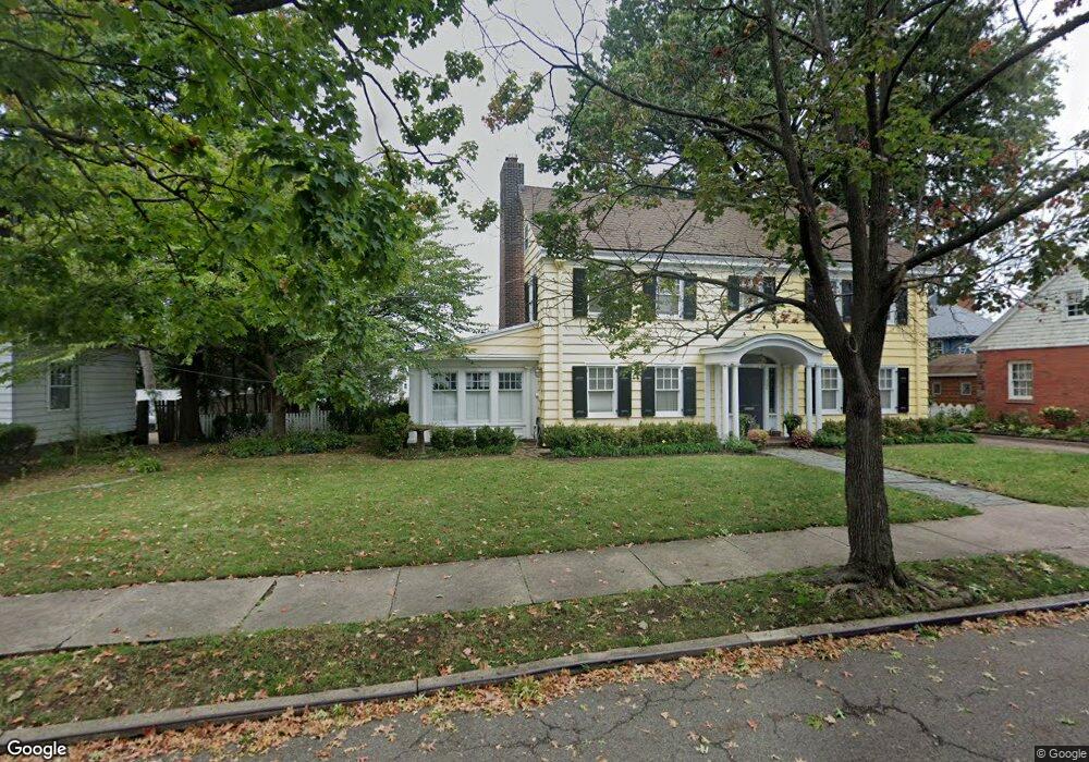
304 E 36th St Unit 310 Paterson, NJ 07504
Eastside NeighborhoodEstimated Value: $612,987 - $696,000
Studio
--
Bath
3,129
Sq Ft
$215/Sq Ft
Est. Value
About This Home
This home is located at 304 E 36th St Unit 310, Paterson, NJ 07504 and is currently estimated at $672,997, approximately $215 per square foot. 304 E 36th St Unit 310 is a home located in Passaic County with nearby schools including Dale Avenue Elementary School, Edward W. Kilpatrick School of Discovery, and Paterson School 6.
Ownership History
Date
Name
Owned For
Owner Type
Purchase Details
Closed on
Jan 30, 2006
Sold by
Shultis John
Bought by
Morrison William F and Seal Robert K
Current Estimated Value
Home Financials for this Owner
Home Financials are based on the most recent Mortgage that was taken out on this home.
Original Mortgage
$359,650
Outstanding Balance
$203,786
Interest Rate
6.31%
Estimated Equity
$469,211
Create a Home Valuation Report for This Property
The Home Valuation Report is an in-depth analysis detailing your home's value as well as a comparison with similar homes in the area
Home Values in the Area
Average Home Value in this Area
Purchase History
| Date | Buyer | Sale Price | Title Company |
|---|---|---|---|
| Morrison William F | $570,000 | -- |
Source: Public Records
Mortgage History
| Date | Status | Borrower | Loan Amount |
|---|---|---|---|
| Open | Morrison William F | $359,650 |
Source: Public Records
Tax History
| Year | Tax Paid | Tax Assessment Tax Assessment Total Assessment is a certain percentage of the fair market value that is determined by local assessors to be the total taxable value of land and additions on the property. | Land | Improvement |
|---|---|---|---|---|
| 2025 | $14,735 | $289,200 | $114,500 | $174,700 |
| 2024 | $14,179 | $289,200 | $114,500 | $174,700 |
Source: Public Records
Map
Nearby Homes
- 306 E 34th St Unit 314
- 343 17th Ave
- 523 Park Ave
- 389 E 38th St Unit 391
- 389-391 E 38th St
- 277 E 32nd St Unit 279
- 475 Park Ave
- 282-284 17th Ave
- 443-447 E 32nd St
- 445 E 32nd St
- 302 19th Ave
- 300-302 19th Ave
- 448-450 E 31st St
- 448 E 31st St Unit 450
- 452 E 31st St
- 405 E 40th St Unit 407
- 444-446 15th Ave
- 444 15th Ave Unit 446
- 440 Park Ave
- 662-664 E 29th St
- 312 E 36th St Unit 316
- 299 E 35th St Unit 305
- 307 E 35th St Unit 309
- 305 E 36th St Unit 309
- 299 E 36th St Unit 303
- 299-303 E 36th St
- 574 Park Ave Unit 580
- 311 E 35th St Unit 313
- 311 E 36th St Unit 315
- 566 Park Ave
- 383 17th Ave Unit 385
- 387 17th Ave Unit 389
- 379 17th Ave Unit 381
- 375 17th Ave Unit 377
- 395 17th Ave Unit 399
- 308 E 37th St Unit 318
- 302 E 37th St Unit 308
- 310 E 35th St Unit 314
- 399 17th Ave Unit 401
- 300-302 E 35th St
Your Personal Tour Guide
Ask me questions while you tour the home.