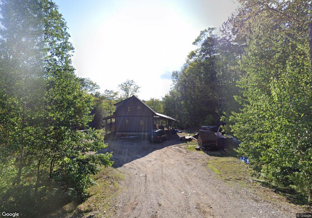
304 Gilsum Mine Rd Alstead, NH 03602
Estimated Value: $417,000 - $811,000
3
Beds
2
Baths
4,169
Sq Ft
$153/Sq Ft
Est. Value
About This Home
This home is located at 304 Gilsum Mine Rd, Alstead, NH 03602 and is currently estimated at $636,706, approximately $152 per square foot. 304 Gilsum Mine Rd is a home located in Cheshire County with nearby schools including Alstead Primary School, Vilas Elementary School, and Fall Mountain Regional High School.
Ownership History
Date
Name
Owned For
Owner Type
Purchase Details
Closed on
Jan 6, 2025
Sold by
Wilson Audra J
Bought by
Wilson Rock A
Current Estimated Value
Purchase Details
Closed on
Dec 3, 2010
Sold by
Shipley Brian W and Shipley Rita A
Bought by
Wilson Rock A and Wilson Audra J
Create a Home Valuation Report for This Property
The Home Valuation Report is an in-depth analysis detailing your home's value as well as a comparison with similar homes in the area
Home Values in the Area
Average Home Value in this Area
Purchase History
| Date | Buyer | Sale Price | Title Company |
|---|---|---|---|
| Wilson Rock A | -- | None Available | |
| Wilson Rock A | -- | None Available | |
| Wilson Rock A | -- | None Available | |
| Wilson Rock A | -- | None Available | |
| Wilson Rock A | $40,000 | -- |
Source: Public Records
Mortgage History
| Date | Status | Borrower | Loan Amount |
|---|---|---|---|
| Previous Owner | Wilson Rock A | $45,000 | |
| Previous Owner | Wilson Rock A | $211,200 |
Source: Public Records
Tax History Compared to Growth
Tax History
| Year | Tax Paid | Tax Assessment Tax Assessment Total Assessment is a certain percentage of the fair market value that is determined by local assessors to be the total taxable value of land and additions on the property. | Land | Improvement |
|---|---|---|---|---|
| 2024 | $11,038 | $409,100 | $88,900 | $320,200 |
| 2023 | $9,788 | $384,900 | $88,900 | $296,000 |
| 2022 | $9,484 | $384,900 | $88,900 | $296,000 |
| 2021 | $8,949 | $384,900 | $88,900 | $296,000 |
| 2020 | $9,399 | $384,900 | $88,900 | $296,000 |
| 2019 | $9,132 | $327,900 | $55,800 | $272,100 |
| 2018 | $8,870 | $327,900 | $55,800 | $272,100 |
| 2017 | $8,745 | $327,900 | $55,800 | $272,100 |
| 2016 | $8,824 | $327,900 | $55,800 | $272,100 |
| 2015 | $8,699 | $327,900 | $55,800 | $272,100 |
| 2014 | $8,618 | $362,100 | $61,200 | $300,900 |
| 2013 | $9,704 | $362,100 | $61,200 | $300,900 |
Source: Public Records
Map
Nearby Homes
- 32 Blueberry Hill Ln
- 27 Shadowland Rd
- 00 Alstead Center Rd
- 178 North Rd
- 473 Pratt Rd
- 33 Maclean Rd
- 96 Maclean Rd
- 55 Sunset Cir
- 16 Nash Corner Rd
- 172 Nh-Rte 123 Route
- 16 Vilas Rd
- 6 Mill St
- 363 March Hill Rd
- 29&31 White Brook Rd
- 100 River St
- 0 Washington Pond Rd Unit 113
- 00 Cold River Rd Unit 3014.0
- 1076 Nh Route 123a
- 603 Route 12a
- 24 Village Rd
- 242 Pine Cliff Rd
- 256 Pine Cliff Rd
- 268 Gilsum Mine Rd
- 232 Pine Cliff Rd
- 306 Gilsum Mine Rd
- 325 Gilsum Mine Rd
- 255 Pine Cliff Rd
- 308 Gilsum Mine Rd
- 247 Gilsum Mine Rd
- 303 Gilsum Mine Rd Unit 45/11-1
- 303 Gilsum Mine Rd
- 0 Peachblow Rd Unit 4616443
- 326 Gilsum Mine Rd
- 238 Gilsum Mine Rd
- 3 Peachblow Rd
- 210 Pine Cliff Rd
- 297 Gilsum Mine Rd
- 353 Gilsum Mine Rd
- 30 Blueberry Hill Ln
- 28 Blueberry Hill Ln