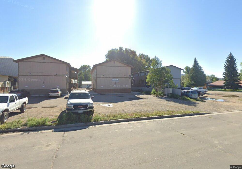
304 N 9th St Gunnison, CO 81230
Estimated Value: $226,000 - $243,000
2
Beds
1
Bath
860
Sq Ft
$276/Sq Ft
Est. Value
About This Home
This home is located at 304 N 9th St, Gunnison, CO 81230 and is currently estimated at $237,164, approximately $275 per square foot. 304 N 9th St is a home located in Gunnison County with nearby schools including Gunnison Elementary School, Gunnison Middle School, and Crested Butte Community School.
Ownership History
Date
Name
Owned For
Owner Type
Purchase Details
Closed on
Aug 27, 2020
Sold by
Robertson James I
Bought by
Haley Kristine L
Current Estimated Value
Home Financials for this Owner
Home Financials are based on the most recent Mortgage that was taken out on this home.
Original Mortgage
$108,000
Interest Rate
2.9%
Mortgage Type
New Conventional
Purchase Details
Closed on
Nov 21, 2005
Sold by
Fredlake David F and Fredlake Margo D
Bought by
Robertson James I
Home Financials for this Owner
Home Financials are based on the most recent Mortgage that was taken out on this home.
Original Mortgage
$59,920
Interest Rate
5.92%
Mortgage Type
New Conventional
Purchase Details
Closed on
Sep 16, 2000
Sold by
Mcdonald George Jr Family Trust
Bought by
Fredlake David F
Purchase Details
Closed on
Aug 1, 1997
Sold by
Murray Thomas D
Bought by
George Mcdonald Trust
Create a Home Valuation Report for This Property
The Home Valuation Report is an in-depth analysis detailing your home's value as well as a comparison with similar homes in the area
Home Values in the Area
Average Home Value in this Area
Purchase History
| Date | Buyer | Sale Price | Title Company |
|---|---|---|---|
| Haley Kristine L | $135,000 | Gunnison County Abstract Co | |
| Robertson James I | $74,900 | None Available | |
| Fredlake David F | $48,500 | -- | |
| George Mcdonald Trust | $48,500 | -- |
Source: Public Records
Mortgage History
| Date | Status | Borrower | Loan Amount |
|---|---|---|---|
| Previous Owner | Haley Kristine L | $108,000 | |
| Previous Owner | Robertson James I | $59,920 |
Source: Public Records
Tax History Compared to Growth
Tax History
| Year | Tax Paid | Tax Assessment Tax Assessment Total Assessment is a certain percentage of the fair market value that is determined by local assessors to be the total taxable value of land and additions on the property. | Land | Improvement |
|---|---|---|---|---|
| 2024 | $602 | $15,060 | $0 | $15,060 |
| 2023 | $602 | $11,370 | $0 | $11,370 |
| 2022 | $563 | $9,260 | $0 | $9,260 |
| 2021 | $508 | $9,520 | $0 | $9,520 |
| 2020 | $538 | $9,540 | $0 | $9,540 |
| 2019 | $526 | $9,540 | $0 | $9,540 |
| 2018 | $331 | $5,750 | $0 | $5,750 |
| 2017 | $335 | $5,750 | $0 | $5,750 |
| 2016 | $275 | $4,700 | $0 | $4,700 |
| 2015 | $217 | $4,700 | $0 | $4,700 |
| 2014 | $217 | $3,600 | $0 | $3,600 |
Source: Public Records
Map
Nearby Homes
- 304 N 9th St Unit 3A
- 306 N 9th St Unit 1B
- 304 N 9th St Unit 2A
- 114 N 8th St
- 436 N 11th St
- 109 N 7th St
- 1208 W Tomichi Ave Unit 4
- 1005 W Denver Ave Unit G-4
- 1021 W Denver Ave Unit 4
- 718 W New York Ave
- 1313 W Ohio Ave Unit Lot 17
- 220 N Boulevard St Unit 17
- 1314 W Tomichi Ave Unit 19
- 1310 W Tomichi Ave Unit 23
- Lot 3 W Denver Ave
- 215 S 7th St
- 0 Rainbow Acres Ln Unit 826591
- 100 Ouray Ln Unit D
- 506 N 14th St
- 288 S 5th St