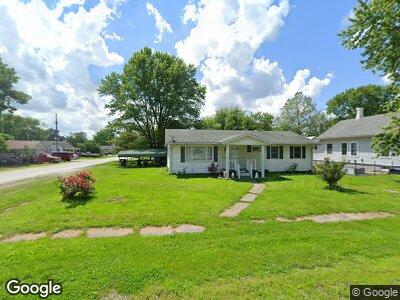
304 N Main St Medora, IL 62063
Estimated Value: $75,031 - $91,000
--
Bed
--
Bath
--
Sq Ft
8,712
Sq Ft Lot
About This Home
This home is located at 304 N Main St, Medora, IL 62063 and is currently estimated at $81,758. 304 N Main St is a home located in Macoupin County with nearby schools including Southwestern High School.
Ownership History
Date
Name
Owned For
Owner Type
Purchase Details
Closed on
Jan 28, 2014
Sold by
Michael R Michael R and Marshall Anne F
Bought by
Lewis Brian
Current Estimated Value
Home Financials for this Owner
Home Financials are based on the most recent Mortgage that was taken out on this home.
Original Mortgage
$59,979
Outstanding Balance
$46,734
Interest Rate
4.63%
Mortgage Type
Stand Alone First
Estimated Equity
$35,672
Purchase Details
Closed on
Oct 31, 2013
Sold by
Goddard Doris A and Hanneken Roberta I
Bought by
Marshall Michael R and Marshall Anne F
Home Financials for this Owner
Home Financials are based on the most recent Mortgage that was taken out on this home.
Original Mortgage
$41,500
Interest Rate
4.24%
Mortgage Type
Stand Alone Refi Refinance Of Original Loan
Create a Home Valuation Report for This Property
The Home Valuation Report is an in-depth analysis detailing your home's value as well as a comparison with similar homes in the area
Home Values in the Area
Average Home Value in this Area
Purchase History
| Date | Buyer | Sale Price | Title Company |
|---|---|---|---|
| Lewis Brian | -- | -- | |
| Marshall Michael R | -- | -- |
Source: Public Records
Mortgage History
| Date | Status | Borrower | Loan Amount |
|---|---|---|---|
| Open | Lewis Brian | $59,979 | |
| Previous Owner | Marshall Michael R | $41,500 |
Source: Public Records
Tax History Compared to Growth
Tax History
| Year | Tax Paid | Tax Assessment Tax Assessment Total Assessment is a certain percentage of the fair market value that is determined by local assessors to be the total taxable value of land and additions on the property. | Land | Improvement |
|---|---|---|---|---|
| 2023 | $1,194 | $23,043 | $4,386 | $18,657 |
| 2022 | $1,194 | $21,535 | $4,099 | $17,436 |
| 2021 | $1,073 | $26,126 | $3,831 | $22,295 |
| 2020 | $1,005 | $24,809 | $3,580 | $21,229 |
| 2019 | $1,020 | $18,809 | $3,580 | $15,229 |
| 2018 | $1,007 | $18,809 | $0 | $0 |
| 2017 | $1,107 | $18,809 | $3,580 | $15,229 |
| 2016 | $1,040 | $18,809 | $3,580 | $15,229 |
| 2015 | $1,181 | $20,232 | $3,580 | $16,652 |
| 2014 | $1,111 | $20,232 | $3,580 | $16,652 |
| 2013 | -- | $20,232 | $3,580 | $16,652 |
Source: Public Records
Map
Nearby Homes
- 214 N Main St
- 107 N Elm St
- 204 S Railroad St
- 0 Centennial Rd
- 0 N Apple Trees Rd Unit MAR24062145
- 10359 Bounds Rd
- 32987 County Road 2200 E
- 0 Gun Club Rd
- 0 Carlinville Rd Unit MAR24046552
- 239 Olive St
- 21537 Crystal Blvd
- 28432 MacOupin Creek Rd
- 11159 Shipman Rd
- 0 State Highway 267 Unit MAR24053256
- 0 Hickory Meadows Dr
- 234 Virginia St
- 127 NE 1475 Ave
- 20765 Oak Rest Rd
- 212 North St
- 504 W Center St