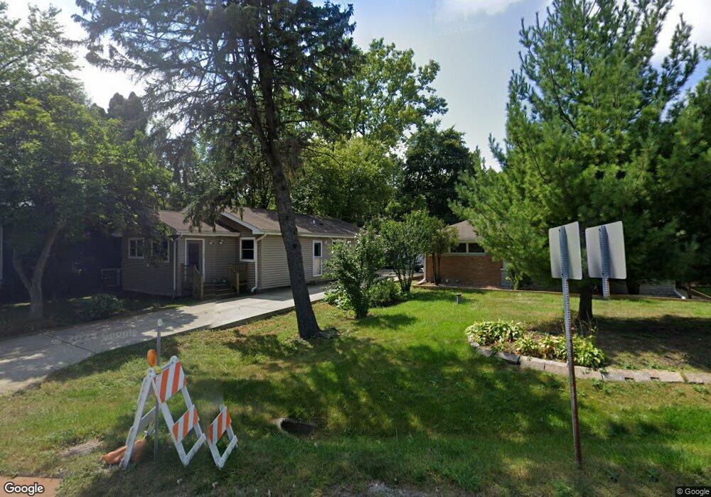
304 N Waukegan Rd Lake Bluff, IL 60044
Estimated Value: $303,000 - $338,000
--
Bed
1
Bath
1,179
Sq Ft
$269/Sq Ft
Est. Value
About This Home
This home is located at 304 N Waukegan Rd, Lake Bluff, IL 60044 and is currently estimated at $317,671, approximately $269 per square foot. 304 N Waukegan Rd is a home with nearby schools including Lake Bluff Elementary School, Lake Bluff Middle School, and Lake Forest High School.
Ownership History
Date
Name
Owned For
Owner Type
Purchase Details
Closed on
Jun 30, 2011
Sold by
Chojecki Peter M and Chojecka Sophia M
Bought by
Community Savings Bank and Trust #Lt-2506
Current Estimated Value
Purchase Details
Closed on
Jun 26, 2000
Sold by
Bookie Richard L and Bookie Joyce T
Bought by
Chojecki Piotr and Chojecka Zofia
Home Financials for this Owner
Home Financials are based on the most recent Mortgage that was taken out on this home.
Original Mortgage
$130,150
Interest Rate
8.64%
Create a Home Valuation Report for This Property
The Home Valuation Report is an in-depth analysis detailing your home's value as well as a comparison with similar homes in the area
Home Values in the Area
Average Home Value in this Area
Purchase History
| Date | Buyer | Sale Price | Title Company |
|---|---|---|---|
| Community Savings Bank | -- | None Available | |
| Chojecki Piotr | $137,000 | -- |
Source: Public Records
Mortgage History
| Date | Status | Borrower | Loan Amount |
|---|---|---|---|
| Previous Owner | Chojecki Piotr | $130,150 |
Source: Public Records
Tax History Compared to Growth
Tax History
| Year | Tax Paid | Tax Assessment Tax Assessment Total Assessment is a certain percentage of the fair market value that is determined by local assessors to be the total taxable value of land and additions on the property. | Land | Improvement |
|---|---|---|---|---|
| 2024 | $5,129 | $78,823 | $15,659 | $63,164 |
| 2023 | $3,787 | $72,661 | $14,435 | $58,226 |
| 2022 | $3,787 | $61,015 | $12,121 | $48,894 |
| 2021 | $3,705 | $60,488 | $12,016 | $48,472 |
| 2020 | $3,633 | $60,822 | $12,082 | $48,740 |
| 2019 | $3,503 | $59,705 | $11,860 | $47,845 |
| 2018 | $3,594 | $62,500 | $12,992 | $49,508 |
| 2017 | $3,563 | $61,455 | $12,775 | $48,680 |
| 2016 | $3,419 | $61,307 | $12,160 | $49,147 |
| 2015 | $3,542 | $57,728 | $11,450 | $46,278 |
| 2014 | $2,533 | $48,215 | $15,420 | $32,795 |
| 2012 | $2,391 | $48,633 | $15,554 | $33,079 |
Source: Public Records
Map
Nearby Homes
- 1004 Jenkisson Ave
- 1122 Foster Ave
- 717 Burris Ave
- 2 Green Ave
- 1019 Rockland Rd
- 630 Smith Ave
- 555 Basil Rd
- 2020 Knollwood Rd
- 28585 Ashford Ct
- 11 Shagbark Rd
- 511 Rockland Rd
- 106 Woodbury Ln Unit 41A
- 114 Woodbury Ln Unit 42C
- 3275 Stratford Ct Unit 1A
- 12900 W Heiden Cir Unit 4410
- 13296 W Heiden Cir Unit 54
- 13000 W Heiden Cir Unit 3106
- 13200 W Heiden Cir Unit 2105
- 13200 W Heiden Cir Unit 2411
- 1696 N Waukegan Rd
- 302 N Waukegan Rd
- 308 Waukegan Rd
- 1001 Quassey Ave
- 12885 Plaister Ave
- 1003 Quassey Ave
- 1004 Plaister Ave
- 305 N Waukegan Rd
- 301 N Waukegan Rd
- 1006 Plaister Ave
- 1005 Quassey Ave
- 911 Foster Ave
- 309 N Waukegan Rd
- 218 N Waukegan Rd
- 1005 Plaister Ave
- 1004 Foster Ave
- 315 N Waukegan Rd
- 1002 Quassey Ave
- 29123 N Waukegan Rd
- 1007 Quassey Ave
- 316 N Waukegan Rd