304 Old Newport Rd Claremont, NH 03743
East Claremont NeighborhoodEstimated Value: $324,000 - $570,929
2
Beds
2
Baths
1,646
Sq Ft
$268/Sq Ft
Est. Value
About This Home
This home is located at 304 Old Newport Rd, Claremont, NH 03743 and is currently estimated at $441,232, approximately $268 per square foot. 304 Old Newport Rd is a home located in Sullivan County with nearby schools including Disnard Elementary School, Claremont Middle School, and Stevens High School.
Ownership History
Date
Name
Owned For
Owner Type
Purchase Details
Closed on
Sep 23, 1994
Bought by
Desmarais Brian P and Desmarais Rhonda Sue
Current Estimated Value
Create a Home Valuation Report for This Property
The Home Valuation Report is an in-depth analysis detailing your home's value as well as a comparison with similar homes in the area
Home Values in the Area
Average Home Value in this Area
Purchase History
| Date | Buyer | Sale Price | Title Company |
|---|---|---|---|
| Desmarais Brian P | $35,000 | -- |
Source: Public Records
Mortgage History
| Date | Status | Borrower | Loan Amount |
|---|---|---|---|
| Open | Desmarais Brian P | $212,000 |
Source: Public Records
Tax History Compared to Growth
Tax History
| Year | Tax Paid | Tax Assessment Tax Assessment Total Assessment is a certain percentage of the fair market value that is determined by local assessors to be the total taxable value of land and additions on the property. | Land | Improvement |
|---|---|---|---|---|
| 2024 | $11,844 | $404,800 | $74,000 | $330,800 |
| 2023 | $11,253 | $404,800 | $74,000 | $330,800 |
| 2022 | $11,395 | $273,400 | $38,400 | $235,000 |
| 2021 | $11,204 | $273,400 | $38,400 | $235,000 |
| 2020 | $11,133 | $273,400 | $38,400 | $235,000 |
| 2019 | $8,521 | $211,650 | $31,850 | $179,800 |
| 2018 | $8,140 | $193,450 | $31,850 | $161,600 |
| 2017 | $8,248 | $193,340 | $31,740 | $161,600 |
| 2016 | $8,240 | $193,340 | $31,740 | $161,600 |
| 2015 | $8,018 | $193,340 | $31,740 | $161,600 |
| 2014 | $7,991 | $193,340 | $31,740 | $161,600 |
| 2013 | $9,534 | $263,020 | $24,120 | $238,900 |
Source: Public Records
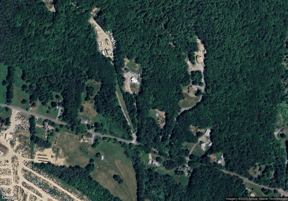
Map
Nearby Homes
- 300 E Green Mountain Rd
- 381 E Green Mountain Rd
- 003 E Green Mountain Rd
- 002 E Green Mountain Rd
- 001 E Green Mountain Rd
- 342 E Green Mountain Rd
- 00 E Green Mountain Rd Unit 13
- 225 Sugar River Dr
- 98 & 102 Washington St
- 128 Roberts Hill Rd
- 44 Petrin Heights Rd
- 736 John Stark Hwy
- 0 Off First St Unit 60
- 0 Cat Hole Rd Unit 5052634
- 223 Chestnut St
- 0 Slab City Rd Unit 5036741
- 129 Chestnut St
- 680-2 John Stark Hwy
- 430 John Stark Hwy
- 6 Osgood Ave
- 292 Old Newport Rd
- 302 Old Newport Rd
- 312 Old Newport Rd
- 328 Old Newport Rd
- 352 Old Newport Rd
- 352 Old Newport Rd
- 311 Old Newport Rd
- 297 Old Newport Rd
- 338 Old Newport Rd
- 272 Old Newport Rd
- 354 Old Newport Rd
- 273 Old Newport Rd
- 258 Old Newport Rd
- 335 Old Newport Rd
- 255 Old Newport Rd
- 351 Old Newport Rd
- 356 Old Newport Rd
- 248 Old Newport Rd
- 249 Old Newport Rd
- 361 Old Newport Rd