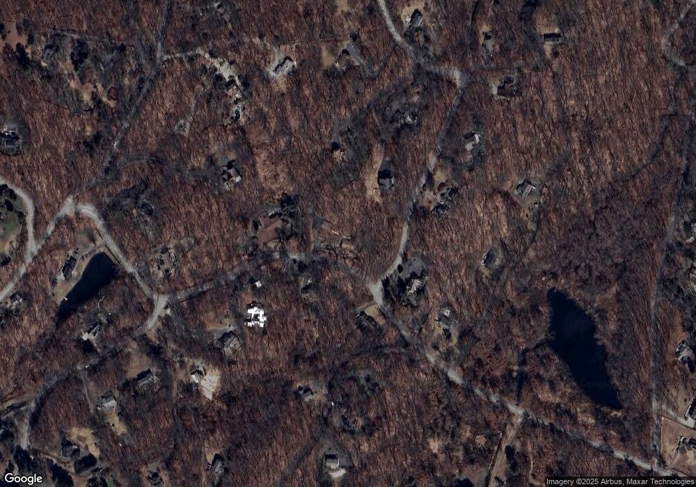
304 Olmstead Hill Rd Wilton, CT 06897
Estimated Value: $721,000 - $1,110,000
4
Beds
3
Baths
1,325
Sq Ft
$667/Sq Ft
Est. Value
About This Home
This home is located at 304 Olmstead Hill Rd, Wilton, CT 06897 and is currently estimated at $884,379, approximately $667 per square foot. 304 Olmstead Hill Rd is a home located in Fairfield County with nearby schools including Miller-Driscoll School, Cider Mill School, and Middlebrook School.
Ownership History
Date
Name
Owned For
Owner Type
Purchase Details
Closed on
Jun 3, 2025
Sold by
Hagenkotter Linda Q
Bought by
Linda Quick Hagenkotter R and Linda Hagenkotter
Current Estimated Value
Purchase Details
Closed on
Sep 15, 1986
Bought by
Hagenkotter Warren and Quick Linda
Create a Home Valuation Report for This Property
The Home Valuation Report is an in-depth analysis detailing your home's value as well as a comparison with similar homes in the area
Home Values in the Area
Average Home Value in this Area
Purchase History
| Date | Buyer | Sale Price | Title Company |
|---|---|---|---|
| Linda Quick Hagenkotter R | -- | None Available | |
| Linda Quick Hagenkotter R | -- | None Available | |
| Hagenkotter Warren | -- | -- |
Source: Public Records
Mortgage History
| Date | Status | Borrower | Loan Amount |
|---|---|---|---|
| Previous Owner | Hagenkotter Warren | $300,000 | |
| Previous Owner | Hagenkotter Warren | $300,000 | |
| Previous Owner | Hagenkotter Warren | $200,000 | |
| Previous Owner | Hagenkotter Warren | $179,400 |
Source: Public Records
Tax History Compared to Growth
Tax History
| Year | Tax Paid | Tax Assessment Tax Assessment Total Assessment is a certain percentage of the fair market value that is determined by local assessors to be the total taxable value of land and additions on the property. | Land | Improvement |
|---|---|---|---|---|
| 2025 | $12,537 | $513,590 | $309,960 | $203,630 |
| 2024 | $12,295 | $513,590 | $309,960 | $203,630 |
| 2023 | $11,724 | $400,680 | $296,380 | $104,300 |
| 2022 | $11,311 | $400,680 | $296,380 | $104,300 |
| 2021 | $11,167 | $400,680 | $296,380 | $104,300 |
| 2020 | $11,003 | $400,680 | $296,380 | $104,300 |
| 2019 | $11,435 | $400,680 | $296,380 | $104,300 |
| 2018 | $11,431 | $405,510 | $311,640 | $93,870 |
| 2017 | $11,261 | $405,510 | $311,640 | $93,870 |
| 2016 | $11,087 | $405,510 | $311,640 | $93,870 |
| 2015 | $10,880 | $405,510 | $311,640 | $93,870 |
| 2014 | $10,750 | $405,510 | $311,640 | $93,870 |
Source: Public Records
Map
Nearby Homes
- 33 Cannon Rd
- 112 Middlebrook Farm Rd
- 38 Honey Hill Rd
- 35 Branch Brook Rd
- 33 Middlebrook Farm Rd
- 330 Ridgefield Rd
- 30 Black Alder Ln
- 175 Mountain Rd
- 13 Indian Hill Rd
- 00 Old Mill Rd
- 23 Wilson Rd
- 25 Samuelson Rd
- 4 Trails End Rd
- 185 Sturges Ridge Rd
- 0 Old Mill Rd
- 96 Georgetown Rd
- 55 Tanners Dr
- 55 Liberty St
- 30 Coley Rd
- 111 Deforest Rd
- 305 Olmstead Hill Rd
- 4 Hulda Hill Rd
- 39 Hulda Hill Rd
- 315 Olmstead Hill Rd
- 292 Olmstead Hill Rd
- 41 Hulda Hill Rd
- 14 Hulda Hill Rd
- 295 Olmstead Hill Rd
- 322 Olmstead Hill Rd
- 10 Chicken St
- 324 Olmstead Hill Rd
- 37 Hulda Hill Rd
- 271 Olmstead Hill Rd
- 325 Olmstead Hill Rd
- 264 Olmstead Hill Rd
- 317 Olmstead Hill Rd
- 326 Olmstead Hill Rd
- 26 Hulda Hill Rd
- 45 Hulda Hill Rd
- 28 Chicken St
