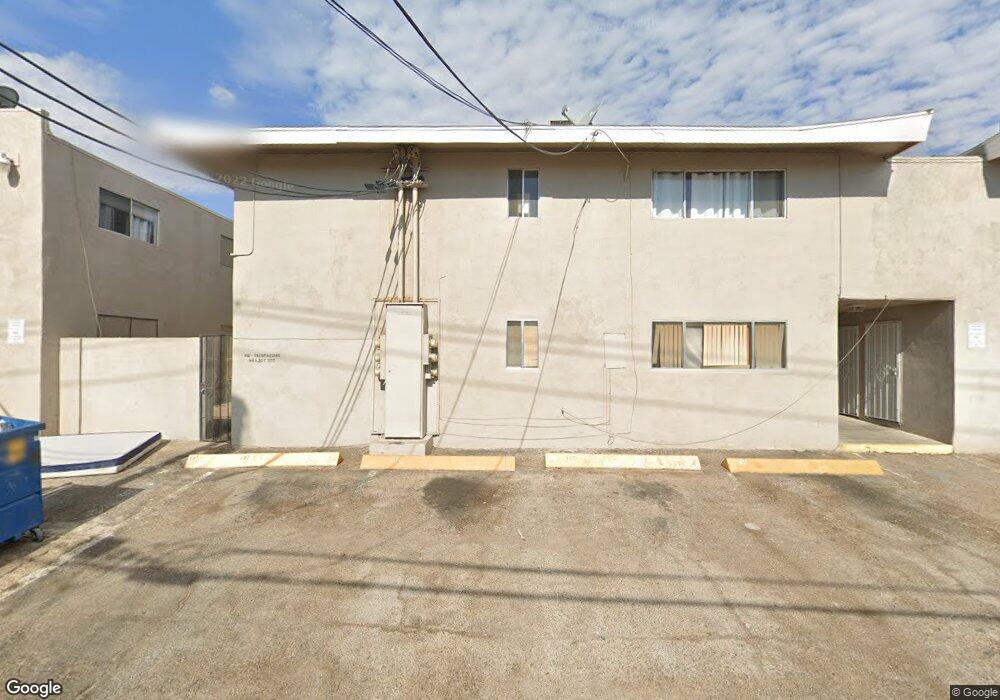
304 Orland St Unit 50 Las Vegas, NV 89107
Michael Way NeighborhoodEstimated Value: $108,021 - $129,000
1
Bed
1
Bath
612
Sq Ft
$195/Sq Ft
Est. Value
About This Home
This home is located at 304 Orland St Unit 50, Las Vegas, NV 89107 and is currently estimated at $119,255, approximately $194 per square foot. 304 Orland St Unit 50 is a home located in Clark County with nearby schools including J.T. McWlliams Elementary School, Robert O Gibson Middle School, and Western High School.
Ownership History
Date
Name
Owned For
Owner Type
Purchase Details
Closed on
Jan 2, 1995
Sold by
Fernandes Vickie L
Bought by
Smith Randy Lee
Current Estimated Value
Home Financials for this Owner
Home Financials are based on the most recent Mortgage that was taken out on this home.
Original Mortgage
$26,500
Interest Rate
6.62%
Mortgage Type
Purchase Money Mortgage
Create a Home Valuation Report for This Property
The Home Valuation Report is an in-depth analysis detailing your home's value as well as a comparison with similar homes in the area
Home Values in the Area
Average Home Value in this Area
Purchase History
| Date | Buyer | Sale Price | Title Company |
|---|---|---|---|
| Smith Randy Lee | $28,000 | United Title |
Source: Public Records
Mortgage History
| Date | Status | Borrower | Loan Amount |
|---|---|---|---|
| Closed | Smith Randy Lee | $26,500 |
Source: Public Records
Tax History Compared to Growth
Tax History
| Year | Tax Paid | Tax Assessment Tax Assessment Total Assessment is a certain percentage of the fair market value that is determined by local assessors to be the total taxable value of land and additions on the property. | Land | Improvement |
|---|---|---|---|---|
| 2025 | $226 | $16,935 | $10,850 | $6,085 |
| 2024 | $220 | $16,935 | $10,850 | $6,085 |
| 2023 | $220 | $18,985 | $13,650 | $5,335 |
| 2022 | $214 | $15,313 | $10,500 | $4,813 |
| 2021 | $208 | $10,090 | $5,513 | $4,577 |
| 2020 | $199 | $12,522 | $8,050 | $4,472 |
| 2019 | $193 | $10,302 | $5,950 | $4,352 |
| 2018 | $187 | $8,001 | $3,850 | $4,151 |
| 2017 | $251 | $7,664 | $3,500 | $4,164 |
| 2016 | $179 | $6,824 | $2,800 | $4,024 |
| 2015 | $177 | $6,156 | $2,450 | $3,706 |
| 2014 | $172 | $5,696 | $1,890 | $3,806 |
Source: Public Records
Map
Nearby Homes
- 212 Orland St Unit 19
- 212 Orland St Unit 17
- 212 Orland St Unit 28
- 212 Orland St Unit 23
- 208 Orland St Unit 10
- 304 Orland St Unit 39
- 304 Orland St Unit 38
- 304 Orland St Unit 53
- 304 Orland St Unit 47
- 304 Orland St Unit 43
- 304 Orland St Unit 56
- 5713 Whiteridge Ave
- 6043 Bromley Ave
- 5620 Roseridge Ave
- 5705 Pearldrop Ave
- 600 Woodmount Dr
- 5612 Pearldrop Ave
- 5709 Goldmount Ave
- 5809 Halifax Ave
- 5420 Moonstruck Ave
- 304 Orland St Unit 40
- 304 Orland St Unit 46
- 304 Orland St Unit 49
- 304 Orland St Unit 52
- 304 Orland St Unit 45
- 304 Orland St Unit 51
- 304 Orland St Unit 55
- 304 Orland St Unit 37
- 304 Orland St Unit 48
- 304 Orland St Unit 44
- 304 Orland St Unit 41
- 304 Orland St Unit 42
- 304 Orland St Unit 54
- 304 Orland St
- 312 Orland St Unit 57
- 312 Orland St Unit 64
- 312 Orland St Unit 61
- 312 Orland St Unit 58
- 312 Orland St Unit 62
- 312 Orland St Unit 63