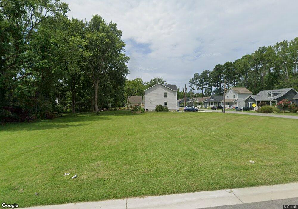
304 Perry Ln Saint Michaels, MD 21663
Estimated Value: $127,261 - $185,000
--
Bed
--
Bath
--
Sq Ft
8,494
Sq Ft Lot
About This Home
This home is located at 304 Perry Ln, Saint Michaels, MD 21663 and is currently estimated at $169,065. 304 Perry Ln is a home located in Talbot County with nearby schools including St. Michaels Elementary School, St. Michaels Middle/High School, and Easton High School.
Ownership History
Date
Name
Owned For
Owner Type
Purchase Details
Closed on
Sep 15, 2023
Sold by
Boehl Daniel J and Kinsey Boehl A
Bought by
Oliver John W and Altimus Cara M
Current Estimated Value
Home Financials for this Owner
Home Financials are based on the most recent Mortgage that was taken out on this home.
Original Mortgage
$90,000
Outstanding Balance
$82,277
Interest Rate
6.25%
Mortgage Type
New Conventional
Estimated Equity
$86,788
Purchase Details
Closed on
Oct 6, 2005
Sold by
Spartan Llc
Bought by
Boehl A. Kinsey and Boehl Daniel
Purchase Details
Closed on
Jun 28, 2004
Sold by
Roberts Roman M
Bought by
Spartan Llc
Purchase Details
Closed on
Dec 22, 1999
Sold by
Watts Emerson A and Watts Bertha M
Bought by
Roberts Roman M
Create a Home Valuation Report for This Property
The Home Valuation Report is an in-depth analysis detailing your home's value as well as a comparison with similar homes in the area
Home Values in the Area
Average Home Value in this Area
Purchase History
| Date | Buyer | Sale Price | Title Company |
|---|---|---|---|
| Oliver John W | $120,000 | First American Title | |
| Boehl A. Kinsey | $80,000 | -- | |
| Spartan Llc | $48,000 | -- | |
| Roberts Roman M | $28,000 | -- |
Source: Public Records
Mortgage History
| Date | Status | Borrower | Loan Amount |
|---|---|---|---|
| Open | Oliver John W | $90,000 |
Source: Public Records
Tax History Compared to Growth
Tax History
| Year | Tax Paid | Tax Assessment Tax Assessment Total Assessment is a certain percentage of the fair market value that is determined by local assessors to be the total taxable value of land and additions on the property. | Land | Improvement |
|---|---|---|---|---|
| 2025 | $408 | $41,800 | $41,800 | $0 |
| 2024 | $408 | $33,067 | $0 | $0 |
| 2023 | $289 | $24,333 | $0 | $0 |
| 2022 | $180 | $15,600 | $15,600 | $0 |
| 2021 | $175 | $15,600 | $15,600 | $0 |
| 2020 | $179 | $15,600 | $15,600 | $0 |
| 2019 | $224 | $19,700 | $19,700 | $0 |
| 2018 | $218 | $19,700 | $19,700 | $0 |
| 2017 | $295 | $19,700 | $0 | $0 |
| 2016 | $286 | $29,700 | $0 | $0 |
| 2015 | $314 | $29,700 | $0 | $0 |
| 2014 | $314 | $29,700 | $0 | $0 |
Source: Public Records
Map
Nearby Homes
- 300 Perry St
- 209 Webb Ln
- 216 Brooks Ln
- 207 Dodson Ave
- 408 Spinnaker Ln
- 102 Gloria Ave
- 100 Grace St
- 25500 Chance Farm Rd
- 107 E Chestnut St
- 222 E Chestnut St
- 216 E Chew Ave
- 704 Meadow St
- Lot 16A Meadow St
- 105 Seymour Ave
- 807 Radcliff Ave
- 9171 Deepwater Point Rd
- 912 Calvert Ave
- 24362 Widgeon Place Unit 4
- 24420 Mallard Place
- 24749 Swan Rd