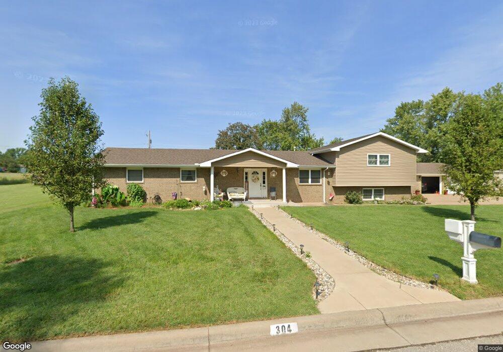
304 S 13th St Conway Springs, KS 67031
Estimated Value: $221,000 - $299,000
5
Beds
2
Baths
2,404
Sq Ft
$104/Sq Ft
Est. Value
About This Home
This home is located at 304 S 13th St, Conway Springs, KS 67031 and is currently estimated at $250,357, approximately $104 per square foot. 304 S 13th St is a home located in Sumner County with nearby schools including Kyle Trueblood Elementary School, Conway Springs Middle School, and Conway Springs High School.
Ownership History
Date
Name
Owned For
Owner Type
Purchase Details
Closed on
May 4, 2010
Sold by
Fannie Mae
Bought by
Pauly Charles D and Pauly Deborah S
Current Estimated Value
Purchase Details
Closed on
Oct 19, 2009
Sold by
Sheriff Of Sumner County Kansas
Bought by
Countrywide Home Loans Servicing Lp
Create a Home Valuation Report for This Property
The Home Valuation Report is an in-depth analysis detailing your home's value as well as a comparison with similar homes in the area
Home Values in the Area
Average Home Value in this Area
Purchase History
| Date | Buyer | Sale Price | Title Company |
|---|---|---|---|
| Pauly Charles D | -- | -- | |
| Countrywide Home Loans Servicing Lp | $138,069 | -- |
Source: Public Records
Mortgage History
| Date | Status | Borrower | Loan Amount |
|---|---|---|---|
| Open | Countrywide Home Loans Servicing Lp | $91,000 |
Source: Public Records
Tax History Compared to Growth
Tax History
| Year | Tax Paid | Tax Assessment Tax Assessment Total Assessment is a certain percentage of the fair market value that is determined by local assessors to be the total taxable value of land and additions on the property. | Land | Improvement |
|---|---|---|---|---|
| 2025 | $5,028 | $27,794 | $2,676 | $25,118 |
| 2024 | $5,028 | $27,794 | $3,350 | $24,444 |
| 2023 | $4,730 | $25,977 | $2,865 | $23,112 |
| 2022 | $3,971 | $21,977 | $1,809 | $20,168 |
| 2021 | $3,795 | $20,850 | $1,753 | $19,097 |
| 2020 | $3,585 | $20,823 | $1,753 | $19,070 |
| 2019 | $3,155 | $18,498 | $1,662 | $16,836 |
| 2018 | $3,180 | $18,498 | $1,362 | $17,136 |
| 2017 | $3,277 | $18,498 | $1,440 | $17,058 |
| 2016 | $3,295 | $18,498 | $1,117 | $17,381 |
| 2015 | -- | $18,498 | $1,117 | $17,381 |
| 2014 | -- | $17,529 | $1,117 | $16,412 |
Source: Public Records
Map
Nearby Homes
- 1175 N Thaddeus Dr
- 417 W Wilson Ave
- 0000 S 263rd St W
- 7 +/- Acres On 263rd St
- Lot 1 Thompson Lake Estates
- 1051 N Blackstone Rd
- 24555 W 103rd St S
- 10443 S 247th St W
- 1666 W Larkin Dr
- 0000 W 111th St S (W Lot)
- E & N of W 110th Ave N
- 00000 N Blackstone Rd Tract 2
- 0000 W 111th St S (E Lot)
- 224 N Monroe St
- 306 E Main St
- 310 N Pine St
- 302 N Pine St
- 00000 S Argonia Rd
- 102 W Garfield Ave
- 0 S Milan Rd
- 310 S 13th St
- 1041 W 90th Ave N
- 307 S 13th St
- 801 W Parallel St
- 314 S 13th St
- 218 S 12th St
- 902 W Kansas Ave
- 904 W Kansas Ave
- 315 S 13th St
- 316 S 13th St
- 711 W Parallel St
- 317 S 12th St
- 217 S 12th St
- 908 W Kansas Ave
- 906 W Kansas Ave
- 215 S 12th St
- 1046 W 90th Ave N
- 707 W Parallel St
- 402 S Kansas Ct
- 402 S Kansas Ct