304 Timberline Ct Atkins, IA 52206
Estimated Value: $366,000 - $440,000
4
Beds
4
Baths
1,713
Sq Ft
$238/Sq Ft
Est. Value
About This Home
This home is located at 304 Timberline Ct, Atkins, IA 52206 and is currently estimated at $407,807, approximately $238 per square foot. 304 Timberline Ct is a home with nearby schools including Benton Community Senior High School.
Ownership History
Date
Name
Owned For
Owner Type
Purchase Details
Closed on
Feb 18, 2012
Sold by
Ralston Farms Llc
Bought by
Harvey Brent A and Harvey Kimberlea F
Current Estimated Value
Purchase Details
Closed on
Jul 2, 2007
Sold by
Ralston Farms Llc
Bought by
Harvey Brent A and Harvey Kimberlea F
Home Financials for this Owner
Home Financials are based on the most recent Mortgage that was taken out on this home.
Original Mortgage
$233,750
Interest Rate
6.73%
Mortgage Type
Future Advance Clause Open End Mortgage
Create a Home Valuation Report for This Property
The Home Valuation Report is an in-depth analysis detailing your home's value as well as a comparison with similar homes in the area
Home Values in the Area
Average Home Value in this Area
Purchase History
| Date | Buyer | Sale Price | Title Company |
|---|---|---|---|
| Harvey Brent A | -- | None Available | |
| Harvey Brent A | $42,000 | None Available |
Source: Public Records
Mortgage History
| Date | Status | Borrower | Loan Amount |
|---|---|---|---|
| Previous Owner | Harvey Brent A | $233,750 |
Source: Public Records
Tax History Compared to Growth
Tax History
| Year | Tax Paid | Tax Assessment Tax Assessment Total Assessment is a certain percentage of the fair market value that is determined by local assessors to be the total taxable value of land and additions on the property. | Land | Improvement |
|---|---|---|---|---|
| 2025 | $5,450 | $406,500 | $61,300 | $345,200 |
| 2024 | $5,450 | $378,600 | $61,000 | $317,600 |
| 2023 | $5,124 | $378,600 | $61,000 | $317,600 |
| 2022 | $5,082 | $321,000 | $48,800 | $272,200 |
| 2021 | $5,082 | $321,000 | $48,800 | $272,200 |
| 2020 | $4,704 | $327,700 | $50,600 | $277,100 |
| 2019 | $4,708 | $327,700 | $50,600 | $277,100 |
| 2018 | $4,622 | $325,700 | $49,500 | $276,200 |
| 2017 | $4,376 | $325,700 | $49,500 | $276,200 |
| 2016 | $4,338 | $285,600 | $45,800 | $239,800 |
| 2015 | $4,338 | $285,600 | $45,800 | $239,800 |
| 2014 | $4,140 | $271,200 | $0 | $0 |
Source: Public Records
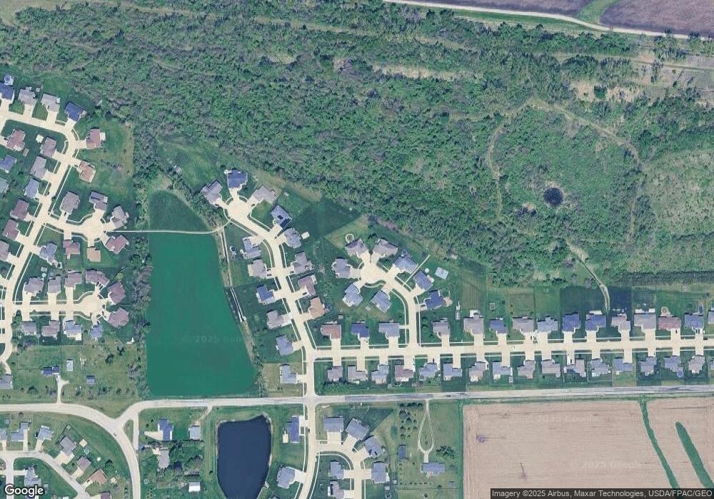
Map
Nearby Homes
- 412 Tia St
- 335 B Ave
- 71 Railroad St
- 622 Prairie Hill Dr
- 510 B Ave
- 88 Main Ave
- 205 2nd Ave
- 0.77 acre Railroad St
- 0 Iowa 100
- 00
- 7626 Country Ridge Dr NW
- 7608 Country Ridge Dr NW
- 2415 Prairie Knoll Ct NW
- 7509 Country Ridge Dr NW
- 6676 32nd Ave
- 7806 Hillsboro Dr SW
- 3200 75th St
- 6702 Country Ridge Dr NW
- 7902 Wieneke Cir
- 202 Rockhurst Dr SW
- 305 Timberline Ct
- 306 Timberline Ct
- 307 Timberline Ct
- 308 Timberline Ct
- 308 Pleasant Ct
- 310 Pleasant Ct
- 309 Timberline Ct
- 306 Pleasant Ct
- 312 Pleasant Ct
- 310 Timberline Ct
- 603 Deer Ridge Dr
- 304 Pleasant Ct
- 605 Deer Ridge Dr
- 507 1/2 Valley Ct
- 400 Prairie Hill Ct
- 406 Prairie Hill Ct
- 623 Prairie Hill Dr
- 312 Timberline Ct
- 601 Deer Ridge Dr
- 302 Pleasant Ct