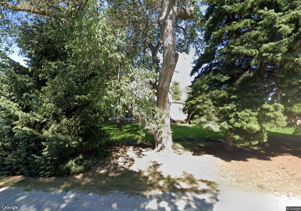
304 W Hendricks St Eustis, NE 69028
Estimated Value: $162,000 - $253,000
4
Beds
1
Bath
1,530
Sq Ft
$136/Sq Ft
Est. Value
About This Home
This home is located at 304 W Hendricks St, Eustis, NE 69028 and is currently estimated at $207,323, approximately $135 per square foot. 304 W Hendricks St is a home located in Frontier County with nearby schools including Elementary School at Eustis and Eustis-Farnam High School.
Ownership History
Date
Name
Owned For
Owner Type
Purchase Details
Closed on
Apr 30, 2021
Sold by
Deterding Mary L and Deterding Alan Dean
Bought by
Koch Thomas and Koch Trista
Current Estimated Value
Purchase Details
Closed on
Apr 27, 2011
Sold by
Brauer Gregory J and Brauer Julie A
Bought by
Else Mary L
Home Financials for this Owner
Home Financials are based on the most recent Mortgage that was taken out on this home.
Original Mortgage
$75,550
Interest Rate
4.82%
Mortgage Type
New Conventional
Create a Home Valuation Report for This Property
The Home Valuation Report is an in-depth analysis detailing your home's value as well as a comparison with similar homes in the area
Purchase History
| Date | Buyer | Sale Price | Title Company |
|---|---|---|---|
| Koch Thomas | $78,000 | None Available | |
| Else Mary L | $75,000 | -- |
Source: Public Records
Mortgage History
| Date | Status | Borrower | Loan Amount |
|---|---|---|---|
| Previous Owner | Else Mary L | $75,550 |
Source: Public Records
Tax History
| Year | Tax Paid | Tax Assessment Tax Assessment Total Assessment is a certain percentage of the fair market value that is determined by local assessors to be the total taxable value of land and additions on the property. | Land | Improvement |
|---|---|---|---|---|
| 2025 | $1,437 | $143,378 | $27,630 | $115,748 |
| 2024 | $1,876 | $143,378 | $27,630 | $115,748 |
| 2023 | $1,441 | $119,686 | $13,815 | $105,871 |
| 2022 | $1,441 | $104,418 | $13,815 | $90,603 |
| 2021 | $1,123 | $89,624 | $13,815 | $75,809 |
| 2020 | $1,025 | $81,816 | $11,860 | $69,956 |
| 2019 | $985 | $81,816 | $11,860 | $69,956 |
| 2018 | $967 | $81,816 | $11,860 | $69,956 |
| 2017 | $932 | $81,816 | $11,860 | $69,956 |
| 2016 | $886 | $74,869 | $14,266 | $60,603 |
| 2015 | $891 | $74,869 | $14,266 | $60,603 |
| 2014 | $1,027 | $74,869 | $14,266 | $60,603 |
Source: Public Records
Map
Nearby Homes
- 406 N Clay St
- 502 W Hendricks St
- 602 W Cameron
- 109 S Hamilton St
- 16 Burkholder Dr
- Lot 1 Reddington Farms Subdivision
- Lot 13 Reddington Farms Subdivision
- Lot 2 Reddington Farms Subdivision
- Lot 12 Reddington Farms Subdivision
- Lot 16 Reddington Farms Subdivision
- Lot 14 Reddington Farms Subdivision
- Lot 3 Reddington Farms Subdivision
- Lot 11 Reddington Farms Subdivision
- Lot 6 Reddington Farms Subdivision
- Lot 15 Reddington Farms Subdivision
- Lot 5 Reddington Farms Subdivision
- Lot 9 Reddington Farms Subdivision
- Lot 8 Reddington Farms Subdivision
- Lot 4 Reddington Farms Subdivision
- 85 Lakeview Acres Dr
- 306 W Hendricks St
- 302 W Hendricks St
- 400 W Hendricks St
- 406 N Hamilton St
- 402 W Hendricks St
- 407 N Hale St
- 407 N Hamilton St
- 402 N Hamilton St
- 403 N Hale St
- 405 N Hamilton St
- 404 W Hendricks St
- 304 W Cameron St
- 401 N Hamilton St
- 404 N Clay St
- 402 N Hale St
- 300 W Cameron St
- 402 N Clay St
- 308 N Hamilton St
- 402 W Cameron St
- 202 W Cameron St
