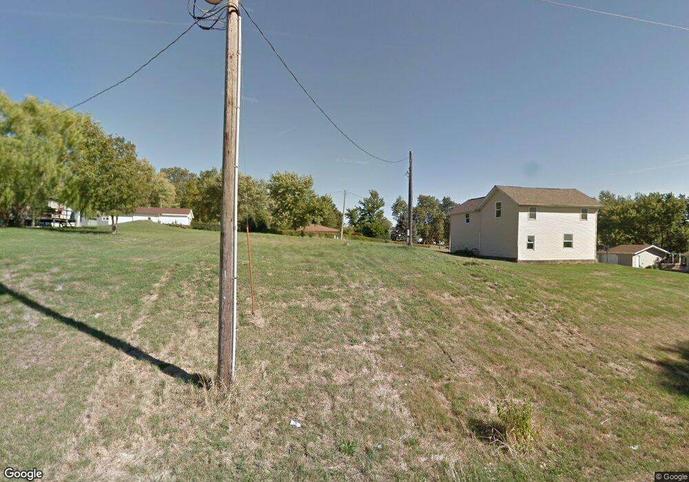
304 Webster St Malcom, IA 50157
Estimated Value: $173,000
3
Beds
2
Baths
1,296
Sq Ft
$133/Sq Ft
Est. Value
About This Home
This home is located at 304 Webster St, Malcom, IA 50157 and is currently estimated at $173,000, approximately $133 per square foot. 304 Webster St is a home located in Poweshiek County with nearby schools including Brooklyn-Guernsey-Malcom Elementary School and Brooklyn-Guernsey-Malcom Junior/Senior High School.
Ownership History
Date
Name
Owned For
Owner Type
Purchase Details
Closed on
Sep 2, 2017
Sold by
Meridian Holdings Llc
Bought by
Ahrens Mac
Current Estimated Value
Purchase Details
Closed on
Jul 17, 2014
Sold by
Adair Holdings Llc
Bought by
Meridian Holdings Llc
Purchase Details
Closed on
Jul 10, 2014
Sold by
Mcdermott Casey
Bought by
Adair Holdings Llc
Purchase Details
Closed on
Feb 8, 2010
Sold by
Secretary Of Hud
Bought by
Mcdermott Casey
Create a Home Valuation Report for This Property
The Home Valuation Report is an in-depth analysis detailing your home's value as well as a comparison with similar homes in the area
Purchase History
| Date | Buyer | Sale Price | Title Company |
|---|---|---|---|
| Ahrens Mac | -- | None Available | |
| Meridian Holdings Llc | -- | None Available | |
| Adair Holdings Llc | -- | None Available | |
| Mcdermott Casey | -- | None Available |
Source: Public Records
Tax History
| Year | Tax Paid | Tax Assessment Tax Assessment Total Assessment is a certain percentage of the fair market value that is determined by local assessors to be the total taxable value of land and additions on the property. | Land | Improvement |
|---|---|---|---|---|
| 2025 | $84 | $5,150 | $5,150 | $0 |
| 2024 | $80 | $5,150 | $5,150 | $0 |
| 2023 | $70 | $5,150 | $5,150 | $0 |
| 2022 | $78 | $3,900 | $3,900 | $0 |
| 2021 | $78 | $3,680 | $3,680 | $0 |
| 2020 | $76 | $3,680 | $3,680 | $0 |
| 2019 | $80 | $3,680 | $3,680 | $0 |
| 2018 | $78 | $3,680 | $3,680 | $0 |
| 2017 | $80 | $3,680 | $3,680 | $0 |
| 2016 | $76 | $3,680 | $3,680 | $0 |
| 2015 | -- | $3,680 | $3,680 | $0 |
| 2014 | -- | $3,680 | $3,680 | $0 |
Source: Public Records
Map
Nearby Homes
- 303 Clay St
- 4182 160th St
- 215 Brady St
- 528 W Pershing Dr
- 515 W Des Moines St
- 505 W Pershing Dr
- 511 N Orchard St
- 404 W Des Moines St
- 611 Broadway St
- 508 Williams St
- 420 390th Ave
- 144 Center Point Dr
- 174A Center Point Dr
- 135 Crabtree Rd
- 4854 103rd St
- 226 & 228 Center Point Dr
- 101 Canyon Rd
- 380 Timber Ridge
- 204 Eastside Ln
- 212 Eastside Ln
Your Personal Tour Guide
Ask me questions while you tour the home.