30405 Highway 1064 Tickfaw, LA 70466
Livingston Parish NeighborhoodEstimated Value: $364,977
--
Bed
--
Bath
--
Sq Ft
4.11
Acres
About This Home
This home is located at 30405 Highway 1064, Tickfaw, LA 70466 and is currently estimated at $364,977. 30405 Highway 1064 is a home located in Livingston Parish with nearby schools including Albany Lower Elementary School, South Lawrence East Elementary School, and Albany Upper Elementary School.
Ownership History
Date
Name
Owned For
Owner Type
Purchase Details
Closed on
Sep 4, 2020
Sold by
Harper Celvia R
Bought by
Starkey Mark E and Starkey Katherine A
Current Estimated Value
Home Financials for this Owner
Home Financials are based on the most recent Mortgage that was taken out on this home.
Original Mortgage
$236,000
Outstanding Balance
$209,434
Interest Rate
2.9%
Mortgage Type
New Conventional
Estimated Equity
$155,543
Create a Home Valuation Report for This Property
The Home Valuation Report is an in-depth analysis detailing your home's value as well as a comparison with similar homes in the area
Home Values in the Area
Average Home Value in this Area
Purchase History
| Date | Buyer | Sale Price | Title Company |
|---|---|---|---|
| Starkey Mark E | $295,000 | None Available |
Source: Public Records
Mortgage History
| Date | Status | Borrower | Loan Amount |
|---|---|---|---|
| Open | Starkey Mark E | $236,000 |
Source: Public Records
Tax History Compared to Growth
Tax History
| Year | Tax Paid | Tax Assessment Tax Assessment Total Assessment is a certain percentage of the fair market value that is determined by local assessors to be the total taxable value of land and additions on the property. | Land | Improvement |
|---|---|---|---|---|
| 2024 | $2,252 | $28,186 | $2,225 | $25,961 |
| 2023 | $1,746 | $20,030 | $1,890 | $18,140 |
| 2022 | $1,763 | $20,030 | $1,890 | $18,140 |
| 2021 | $1,771 | $20,030 | $1,890 | $18,140 |
| 2020 | $1,754 | $20,020 | $1,880 | $18,140 |
| 2019 | $1,501 | $16,910 | $1,320 | $15,590 |
| 2018 | $1,501 | $16,910 | $1,320 | $15,590 |
| 2017 | $1,423 | $16,130 | $1,320 | $14,810 |
| 2015 | $1,157 | $20,620 | $1,570 | $19,050 |
| 2014 | $1,183 | $20,620 | $1,570 | $19,050 |
Source: Public Records
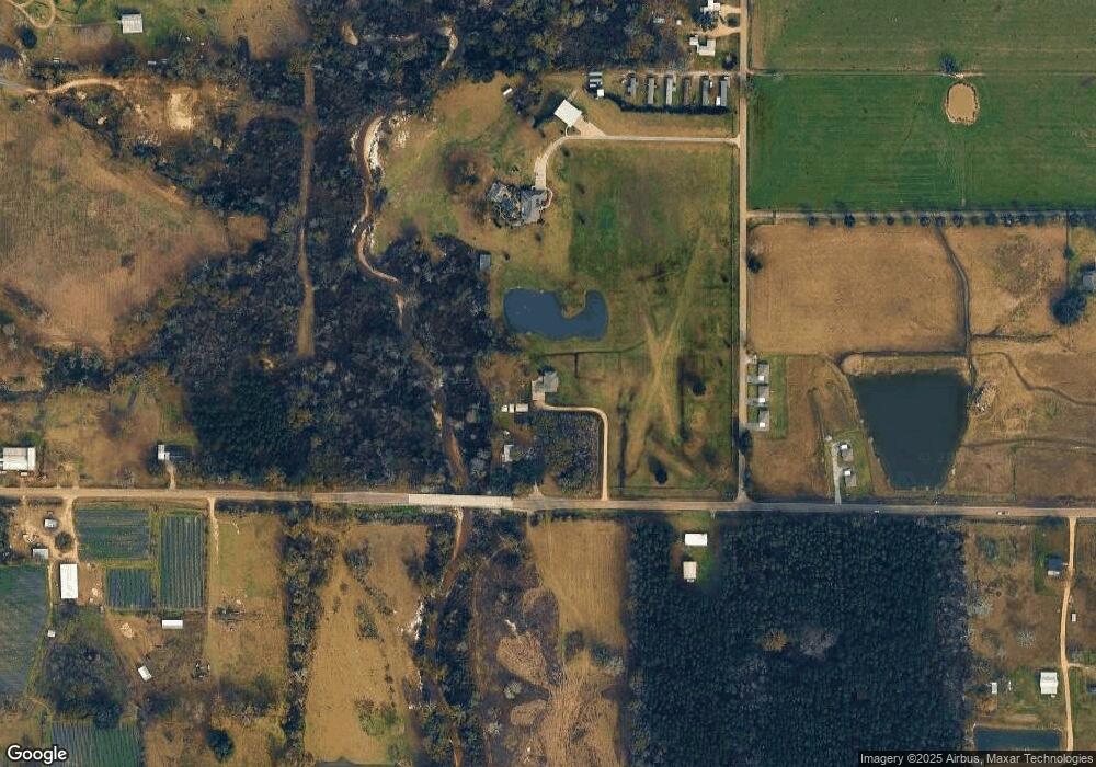
Map
Nearby Homes
- 30890 Highway 1064
- 31190 Drake Rd
- TW-1A2B Karli Ln
- 10172 Pearl Ln
- 10199 Crystal Ln
- Eastwood Plan at Rivers Edge
- Birch Plan at Rivers Edge
- 10179 Pearl Ln
- 10188 Pearl Ln
- Hickory Plan at Rivers Edge
- Aspen. Plan at Rivers Edge
- 10171 Pearl Ln
- Evergreen Plan at Rivers Edge
- 10188 Crystal Ln
- Cameron Plan at Rivers Edge
- 0 Drake Rd
- 30227 Jericho Dr
- 30245 Jericho Dr
- 30211 Jericho Dr
- 10205 Pearl Ln
- 32890 Ambrose Hoover Rd
- 00 La Hwy 1064
- 30504 Highway 1064
- 30393 1064 Hwy
- 33055 Ambrose Hoover Rd
- 30223 La 1064 Hwy
- 33095 Ambrose Hoover Rd
- 33075 Ambrose Hoover Rd
- 32910 Ambrose Hoover Rd
- 30300 Cleveland Rd
- 30535 Highway 1064
- 31458 La 43 Hwy
- 31391 N Cafeline Rd
- 31391 N Cafeline Rd
- 31433 N Cafeline Rd
- 30274 W L Cleveland Rd
- 31620 La 43 Hwy
- 32346 Louisiana 43
- 31305 N Cafeline Rd
- 32386 Louisiana 43