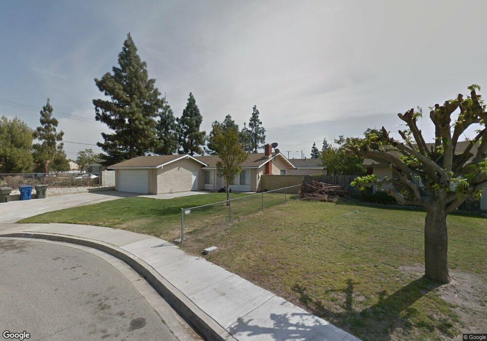
3044 E Brookside Ct Ontario, CA 91761
Ontario Ranch NeighborhoodEstimated Value: $623,439 - $695,000
3
Beds
2
Baths
1,080
Sq Ft
$621/Sq Ft
Est. Value
About This Home
This home is located at 3044 E Brookside Ct, Ontario, CA 91761 and is currently estimated at $670,860, approximately $621 per square foot. 3044 E Brookside Ct is a home located in San Bernardino County with nearby schools including Creek View Elementary School, Grace Yokley Middle School, and Colony High.
Ownership History
Date
Name
Owned For
Owner Type
Purchase Details
Closed on
Jun 2, 2016
Sold by
Tang Si Po and Tang Audrey Won Lin
Bought by
The Tang Protection Trust 2
Current Estimated Value
Purchase Details
Closed on
Apr 1, 2016
Sold by
Tang Si Po and Tang Audrey Won Lin
Bought by
Tang Si Po and Tang Audrey Won Lin
Purchase Details
Closed on
Jan 14, 1994
Sold by
Tang Si Po and Tang Audrey W L
Bought by
Tang Si Po and Tang Audrey W L
Create a Home Valuation Report for This Property
The Home Valuation Report is an in-depth analysis detailing your home's value as well as a comparison with similar homes in the area
Home Values in the Area
Average Home Value in this Area
Purchase History
| Date | Buyer | Sale Price | Title Company |
|---|---|---|---|
| The Tang Protection Trust 2 | -- | None Available | |
| Tang Si Po | -- | None Available | |
| Tang Si Po | -- | -- |
Source: Public Records
Tax History
| Year | Tax Paid | Tax Assessment Tax Assessment Total Assessment is a certain percentage of the fair market value that is determined by local assessors to be the total taxable value of land and additions on the property. | Land | Improvement |
|---|---|---|---|---|
| 2025 | $1,861 | $167,745 | $51,274 | $116,471 |
| 2024 | $1,821 | $164,456 | $50,269 | $114,187 |
| 2023 | $1,767 | $161,231 | $49,283 | $111,948 |
| 2022 | $1,747 | $158,070 | $48,317 | $109,753 |
| 2021 | $1,735 | $154,971 | $47,370 | $107,601 |
| 2020 | $1,709 | $153,382 | $46,884 | $106,498 |
| 2019 | $1,699 | $150,375 | $45,965 | $104,410 |
| 2018 | $1,662 | $147,427 | $45,064 | $102,363 |
| 2017 | $1,611 | $144,536 | $44,180 | $100,356 |
| 2016 | $1,590 | $141,702 | $43,314 | $98,388 |
| 2015 | $1,587 | $139,573 | $42,663 | $96,910 |
| 2014 | $1,544 | $136,839 | $41,827 | $95,012 |
Source: Public Records
Map
Nearby Homes
- 2714 Blue Fox Dr
- 2804 Rippling Brook Place
- 3043 E Merion St
- 2845 E Berry Loop Unit 33
- 2633 Tahoe Dr
- 3242 Antler Rd
- 2750 E Oak Hill Dr Unit 16
- 3918 E Cambria Privado
- 2691 Cloudview Privado
- 3179 Sprout Paseo
- 2685 Cloudview Privado
- 3240 Homestead Paseo
- 2697 Cloudview Privado
- 2677 Cloudview Privado
- 3157 Silo Paseo
- 2679 Cloudview Privado
- 3150 Sprout Paseo
- 2695 Cloudview Privado
- 3167 Sprout Paseo
- 2699 Cloudview Privado
- 3038 E Brookside Ct
- 3049 E Saint Andrews Dr
- 3043 E Saint Andrews Dr
- 3032 E Brookside Ct
- 3037 E Saint Andrews Dr
- 3049 E Brookside Ct
- 3043 E Brookside Ct
- 3026 E Brookside Ct
- 3037 E Brookside Ct
- 3031 E Saint Andrews Dr
- 3031 E Brookside Ct
- 3050 E Hazeltine St
- 3050 E Saint Andrews Dr
- 3025 E Saint Andrews Dr
- 12685 S Turner Ave
- 3044 E Hazeltine St
- 3020 E Brookside Ct
- 3044 E Saint Andrews Dr
- 2716 Blue Fox Dr
- 3038 E Saint Andrews Dr
Your Personal Tour Guide
Ask me questions while you tour the home.