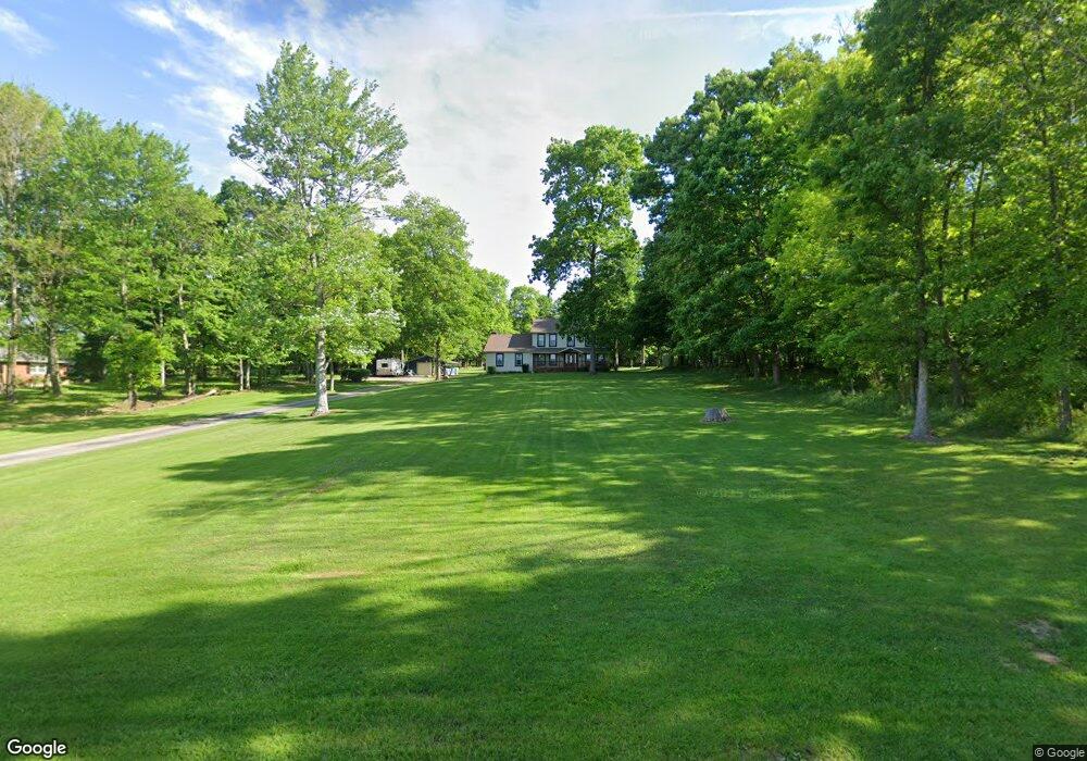
3046 Lynn Rd Canfield, OH 44406
Estimated Value: $470,000 - $517,000
5
Beds
3
Baths
2,482
Sq Ft
$195/Sq Ft
Est. Value
About This Home
This home is located at 3046 Lynn Rd, Canfield, OH 44406 and is currently estimated at $485,036, approximately $195 per square foot. 3046 Lynn Rd is a home located in Mahoning County with nearby schools including South Range Elementary School, South Range Middle School, and South Range High School.
Ownership History
Date
Name
Owned For
Owner Type
Purchase Details
Closed on
Apr 26, 2004
Sold by
Cunningham Joseph M and Cunningham Jeannine
Bought by
Wince David T and Wince Debra S
Current Estimated Value
Home Financials for this Owner
Home Financials are based on the most recent Mortgage that was taken out on this home.
Original Mortgage
$248,300
Outstanding Balance
$116,418
Interest Rate
5.5%
Mortgage Type
Purchase Money Mortgage
Estimated Equity
$368,618
Purchase Details
Closed on
Aug 10, 1989
Bought by
Cunningham Jos M and Cunningham Jeanne
Create a Home Valuation Report for This Property
The Home Valuation Report is an in-depth analysis detailing your home's value as well as a comparison with similar homes in the area
Home Values in the Area
Average Home Value in this Area
Purchase History
| Date | Buyer | Sale Price | Title Company |
|---|---|---|---|
| Wince David T | $256,000 | -- | |
| Cunningham Jos M | $9,500 | -- |
Source: Public Records
Mortgage History
| Date | Status | Borrower | Loan Amount |
|---|---|---|---|
| Open | Wince David T | $248,300 |
Source: Public Records
Tax History Compared to Growth
Tax History
| Year | Tax Paid | Tax Assessment Tax Assessment Total Assessment is a certain percentage of the fair market value that is determined by local assessors to be the total taxable value of land and additions on the property. | Land | Improvement |
|---|---|---|---|---|
| 2024 | $5,242 | $107,760 | $17,330 | $90,430 |
| 2023 | $5,260 | $107,760 | $17,330 | $90,430 |
| 2022 | $5,464 | $97,270 | $15,960 | $81,310 |
| 2021 | $5,531 | $97,270 | $15,960 | $81,310 |
| 2020 | $5,555 | $97,270 | $15,960 | $81,310 |
| 2019 | $4,914 | $83,720 | $15,960 | $67,760 |
| 2018 | $4,848 | $83,720 | $15,960 | $67,760 |
| 2017 | $4,775 | $83,720 | $15,960 | $67,760 |
| 2016 | $4,704 | $79,220 | $13,850 | $65,370 |
| 2015 | $4,620 | $79,220 | $13,850 | $65,370 |
| 2014 | $4,672 | $79,220 | $13,850 | $65,370 |
| 2013 | $4,633 | $79,220 | $13,850 | $65,370 |
Source: Public Records
Map
Nearby Homes
- 9757 New Buffalo Rd
- 9501 New Buffalo Rd
- 11160 Detwiler Rd
- 11695 Basinger Rd
- 1482 Lake Front Blvd
- 1486 Lake Front Blvd
- 3555 W South Range Rd
- 1190 Calla Rd W
- 635 Berklee Dr
- Lot 36 Berklee Dr
- 107 Berklee Dr
- 0 W Middletown Rd
- 0 Sharrott Rd Unit 5174987
- 517 Berklee Dr
- 12157 Columbiana Canfield Rd
- 5111 W Middletown Rd
- 400 Calla Rd W
- 9264 Sharrott Rd Unit 1803
- 9264 Sharrott Rd Unit 1001
- 9264 Sharrott Rd Unit 104
- 3014 Lynn Rd
- 3110 Lynn Rd
- 2978 Lynn Rd
- 2989 Lynn Rd
- 2959 Lynn Rd
- 2935 Lynn Rd
- 2905 Lynn Rd
- 10450 New Buffalo Rd
- 10464 New Buffalo Rd
- 10480 New Buffalo Rd
- 10302 New Buffalo Rd
- 3265 Lynn Rd
- 3095 Lynn Rd
- 3007 Lynn Rd
- 10286 New Buffalo Rd
- 10268 New Buffalo Rd
- 10576 New Buffalo Rd
- 10548 New Buffalo Rd
- 10250 New Buffalo Rd
- 10509 New Buffalo Rd