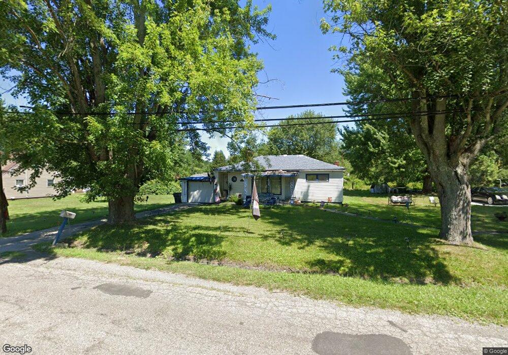
3046 McGuffey Rd Youngstown, OH 44505
McGuffey Heights NeighborhoodEstimated Value: $32,000 - $73,000
2
Beds
1
Bath
956
Sq Ft
$54/Sq Ft
Est. Value
About This Home
This home is located at 3046 McGuffey Rd, Youngstown, OH 44505 and is currently estimated at $51,818, approximately $54 per square foot. 3046 McGuffey Rd is a home located in Mahoning County with nearby schools including M.L. King Elementary School, Williamson Elementary School, and East High School.
Ownership History
Date
Name
Owned For
Owner Type
Purchase Details
Closed on
Aug 19, 2014
Sold by
Milledge Victor and Charity Laura J
Bought by
Mahoning County Land Reutilization Corpo
Current Estimated Value
Purchase Details
Closed on
Oct 22, 2004
Sold by
Milledge Versice
Bought by
Milledge Victor
Purchase Details
Closed on
Oct 5, 1990
Bought by
Milledge Versice
Create a Home Valuation Report for This Property
The Home Valuation Report is an in-depth analysis detailing your home's value as well as a comparison with similar homes in the area
Home Values in the Area
Average Home Value in this Area
Purchase History
| Date | Buyer | Sale Price | Title Company |
|---|---|---|---|
| Mahoning County Land Reutilization Corpo | -- | Attorney | |
| Milledge Victor | -- | -- | |
| Milledge Versice | -- | -- |
Source: Public Records
Tax History Compared to Growth
Tax History
| Year | Tax Paid | Tax Assessment Tax Assessment Total Assessment is a certain percentage of the fair market value that is determined by local assessors to be the total taxable value of land and additions on the property. | Land | Improvement |
|---|---|---|---|---|
| 2024 | $95 | $1,880 | $370 | $1,510 |
| 2023 | $94 | $1,880 | $370 | $1,510 |
| 2022 | $163 | $2,550 | $660 | $1,890 |
| 2021 | $163 | $2,550 | $660 | $1,890 |
| 2020 | $164 | $2,550 | $660 | $1,890 |
| 2019 | $172 | $2,360 | $610 | $1,750 |
| 2018 | $174 | $2,360 | $610 | $1,750 |
| 2017 | $171 | $2,360 | $610 | $1,750 |
| 2016 | $183 | $2,730 | $610 | $2,120 |
| 2015 | $180 | $2,730 | $610 | $2,120 |
| 2014 | $178 | $2,730 | $610 | $2,120 |
| 2013 | $176 | $2,730 | $610 | $2,120 |
Source: Public Records
Map
Nearby Homes
- 1214 Brighton St
- 1720 Jacobs Rd
- 1003 Liberty Rd
- 2051 Blair Ave
- 2951 Megan Cir
- 2831 Benford Ln
- 2954 Megan Cir
- V/L Jacobs Rd
- 1325 Miami Ave
- 902 Miami St
- 227 Greeley Ln
- 405 Drake Ave
- 71 Duncan Ln
- 1538 Republic Ave
- 566 Sunshine Ave
- 665 Wendemere Dr
- OL 38 Mccartney Rd
- 332 Lansdowne Blvd
- 0 Heidi Dr Unit 5141604
- 663 Meadowland Dr
- 3040 McGuffey Rd
- 3019 Shannon Ave
- 3015 Shannon Ave
- 3041 McGuffey Rd
- 3045 McGuffey Rd
- 3037 McGuffey Rd
- 3049 McGuffey Rd
- 3009 Shannon Ave
- 3033 McGuffey Rd
- 3016 Shannon Ave
- 3053 McGuffey Rd
- 1204 Delmar St
- 3057 McGuffey Rd
- 3005 Shannon Ave
- 3061 McGuffey Rd
- 3012 Shannon Ave
- 3067 McGuffey Rd
- 1207 Jacobs Rd
- 1210 Brighton St
- 3069 McGuffey Rd