3047 Red Rock Rd Little Rock, AR 72210
Estimated Value: $703,335 - $783,000
--
Bed
--
Bath
3,557
Sq Ft
$210/Sq Ft
Est. Value
About This Home
This home is located at 3047 Red Rock Rd, Little Rock, AR 72210 and is currently estimated at $748,584, approximately $210 per square foot. 3047 Red Rock Rd is a home located in Pulaski County with nearby schools including Chenal Elementary School, Joe T. Robinson Middle School, and Joe T. Robinson High School.
Ownership History
Date
Name
Owned For
Owner Type
Purchase Details
Closed on
Apr 15, 2016
Sold by
Rector Phiipls Morse Inc
Bought by
Millam Steven D and Millam Debra L
Current Estimated Value
Home Financials for this Owner
Home Financials are based on the most recent Mortgage that was taken out on this home.
Original Mortgage
$400,000
Interest Rate
3.73%
Mortgage Type
Construction
Purchase Details
Closed on
Sep 15, 2015
Sold by
Central Arkansas Land Development Llc
Bought by
Rector Phillips Morse Inc
Create a Home Valuation Report for This Property
The Home Valuation Report is an in-depth analysis detailing your home's value as well as a comparison with similar homes in the area
Home Values in the Area
Average Home Value in this Area
Purchase History
| Date | Buyer | Sale Price | Title Company |
|---|---|---|---|
| Millam Steven D | $67,000 | Lenders Title Co | |
| Rector Phillips Morse Inc | $67,000 | None Available |
Source: Public Records
Mortgage History
| Date | Status | Borrower | Loan Amount |
|---|---|---|---|
| Closed | Millam Steven D | $400,000 |
Source: Public Records
Tax History Compared to Growth
Tax History
| Year | Tax Paid | Tax Assessment Tax Assessment Total Assessment is a certain percentage of the fair market value that is determined by local assessors to be the total taxable value of land and additions on the property. | Land | Improvement |
|---|---|---|---|---|
| 2025 | $6,072 | $120,479 | $15,000 | $105,479 |
| 2024 | $6,072 | $120,479 | $15,000 | $105,479 |
| 2023 | $6,707 | $120,479 | $15,000 | $105,479 |
| 2022 | $5,827 | $120,479 | $15,000 | $105,479 |
| 2021 | $5,580 | $98,010 | $13,800 | $84,210 |
| 2020 | $5,580 | $98,010 | $13,800 | $84,210 |
| 2019 | $5,580 | $98,010 | $13,800 | $84,210 |
| 2018 | $5,605 | $98,010 | $13,800 | $84,210 |
| 2017 | $1,570 | $12,000 | $12,000 | $0 |
| 2016 | $544 | $10,800 | $10,800 | $0 |
| 2015 | $1,237 | $5,400 | $5,400 | $0 |
Source: Public Records
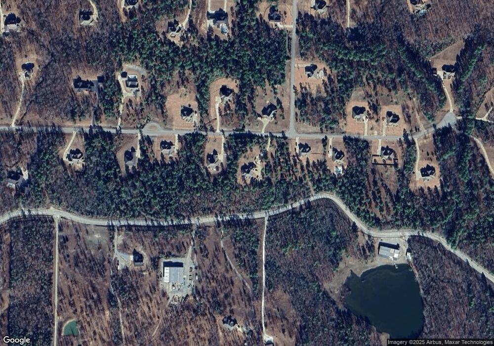
Map
Nearby Homes
- 2056 Gunnison Dr
- 1703 Crested Butte Cir
- 000 W Colonel Glenn Rd
- 12433 Raindrop Ln
- 20377 Congo Ferndale Rd
- 0 Serenity Dr
- 4.06 acres N Lake Norrell Dr
- 466 Rock Ridge Rd
- 28721 Kanis Rd
- Lot 34 & 35 Brushmountain Trail
- 39 Golden Eagle Dr
- 6407 Whipporwill Dr
- 6408 Whipporwill Dr
- 23 Witness Tree Ln
- 6111 Crestwood Ln
- 220 W Lawson Rd
- 225 Red Hawk Cir
- 6413 Whipporwill Dr
- 32315 Kanis Rd
- 000 Big Ridge Cove
- 3047 Redrock Rd
- 3055 Red Rock Rd
- 3055 Redrock Rd
- 0 Redrock Rd Unit 16026821
- 0 Redrock Rd Unit 15033775
- 0 Redrock Rd Unit 20038165
- 3039 Redrock Rd
- 3039 Red Rock Rd
- 3103 Redrock Rd
- 3044 Red Rock Rd
- 3052 Redrock Rd
- Lot 138 Redrock Dr
- 3063 Redrock Rd
- 3031 Redrock Rd
- 3031 Red Rock Rd
- 3031 Red Rock Rd
- 3063 Redrock Rd
- 3063 Red Rock Rd
- 3060 Redrock Rd
- 4064 Monarch Pass