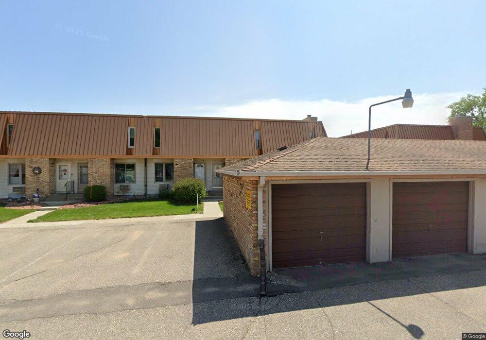
305 12 1 2 Ave E Unit 1 West Fargo, ND 58078
Eastwood NeighborhoodEstimated Value: $145,000 - $173,000
2
Beds
2
Baths
1,536
Sq Ft
$104/Sq Ft
Est. Value
About This Home
This home is located at 305 12 1 2 Ave E Unit 1, West Fargo, ND 58078 and is currently estimated at $160,309, approximately $104 per square foot. 305 12 1 2 Ave E Unit 1 is a home located in Cass County with nearby schools including Eastwood Elementary School, Cheney Middle School, and West Fargo High School.
Ownership History
Date
Name
Owned For
Owner Type
Purchase Details
Closed on
Sep 25, 2020
Sold by
Hauge Kayla M and Hauge Brandon
Bought by
Samuelson Cheryl
Current Estimated Value
Home Financials for this Owner
Home Financials are based on the most recent Mortgage that was taken out on this home.
Original Mortgage
$125,400
Outstanding Balance
$111,031
Interest Rate
2.9%
Mortgage Type
New Conventional
Estimated Equity
$49,278
Purchase Details
Closed on
Jun 17, 2011
Sold by
Chapman Robert D and Chapman Marilyn J
Bought by
Videen Kayla M and Witt Brenda M
Home Financials for this Owner
Home Financials are based on the most recent Mortgage that was taken out on this home.
Original Mortgage
$70,400
Interest Rate
3.87%
Mortgage Type
Adjustable Rate Mortgage/ARM
Create a Home Valuation Report for This Property
The Home Valuation Report is an in-depth analysis detailing your home's value as well as a comparison with similar homes in the area
Home Values in the Area
Average Home Value in this Area
Purchase History
| Date | Buyer | Sale Price | Title Company |
|---|---|---|---|
| Samuelson Cheryl | $132,000 | Onpoint Title | |
| Videen Kayla M | $88,000 | None Available |
Source: Public Records
Mortgage History
| Date | Status | Borrower | Loan Amount |
|---|---|---|---|
| Open | Samuelson Cheryl | $125,400 | |
| Previous Owner | Videen Kayla M | $70,400 |
Source: Public Records
Tax History Compared to Growth
Tax History
| Year | Tax Paid | Tax Assessment Tax Assessment Total Assessment is a certain percentage of the fair market value that is determined by local assessors to be the total taxable value of land and additions on the property. | Land | Improvement |
|---|---|---|---|---|
| 2024 | $2,260 | $84,050 | $7,500 | $76,550 |
| 2023 | $2,095 | $77,600 | $7,500 | $70,100 |
| 2022 | $1,977 | $70,000 | $7,500 | $62,500 |
| 2021 | $1,788 | $61,000 | $3,000 | $58,000 |
| 2020 | $1,735 | $61,000 | $3,000 | $58,000 |
| 2019 | $1,785 | $58,950 | $3,000 | $55,950 |
| 2018 | $1,758 | $56,350 | $3,000 | $53,350 |
| 2017 | $1,563 | $54,100 | $3,000 | $51,100 |
| 2016 | $1,351 | $49,700 | $3,000 | $46,700 |
| 2015 | $1,403 | $47,850 | $2,850 | $45,000 |
| 2014 | $1,380 | $44,700 | $2,850 | $41,850 |
| 2013 | $1,393 | $44,700 | $2,850 | $41,850 |
Source: Public Records
Map
Nearby Homes
- 336 13th Ave E
- 245 12th Ave E
- 243 12 1 2 Ave E
- 237 10th Ave E
- 437 10th Ave E
- 670 13th Ave E
- 631 15th Ave E
- 232 15th Ave W
- 226 10 1/2 Ave W
- 134 17th Ave E
- 851 12th Ave E
- 109 7th Ave E
- 1633 3rd St W
- 1844 1st St
- 987 14th Ave E
- 716 Northridge Way
- 724 Northridge Way
- 1809 Pentland St
- 1811 7th St E
- 517 18th Ave E
- 309 12 1/2 Ave E
- 318 13th Ave E
- 322 13th Ave E
- 330 13th Ave E
- 309 12 1/2 Ave E
- 307 12 1/2 Ave E
- 309 12 1 2 Ave E Unit 55
- 342 12 1 2 Ave E Unit 21
- 335 12 1 2 Ave E
- 333 12 1 2 Ave E
- 339 12 1 2 Ave E
- 341 12 1 2 Ave E
- 337 12 1 2 Ave E
- 305 12 1 2 Ave E
- 307 12 1 2 Ave E Unit 307
- 307 12 1 2 Ave E
- 307 12 1 2 Ave E Unit 2
- 309 12 1/2 Ave E Unit Gar. 55
- 321 12 1/2 Ave E
- 341 12 1/2 Ave E