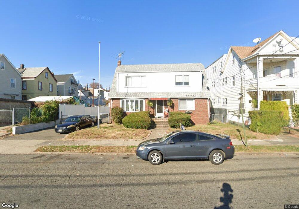
305 9th Ave Unit 309 Paterson, NJ 07514
Riverside NeighborhoodEstimated Value: $495,327 - $606,000
--
Bed
--
Bath
2,128
Sq Ft
$261/Sq Ft
Est. Value
About This Home
This home is located at 305 9th Ave Unit 309, Paterson, NJ 07514 and is currently estimated at $555,332, approximately $260 per square foot. 305 9th Ave Unit 309 is a home located in Passaic County with nearby schools including Edward W. Kilpatrick School of Discovery, Dale Avenue Elementary School, and Paterson School 6.
Ownership History
Date
Name
Owned For
Owner Type
Purchase Details
Closed on
Dec 15, 2006
Sold by
Watkins Derrick J
Bought by
Reed John and Reed Dorothy M
Current Estimated Value
Home Financials for this Owner
Home Financials are based on the most recent Mortgage that was taken out on this home.
Original Mortgage
$142,000
Outstanding Balance
$84,569
Interest Rate
6.24%
Estimated Equity
$470,763
Purchase Details
Closed on
Aug 30, 1999
Sold by
Mullins Theodore and Mullins Jacqueline
Bought by
Watkins Derrick
Home Financials for this Owner
Home Financials are based on the most recent Mortgage that was taken out on this home.
Original Mortgage
$123,250
Interest Rate
10.5%
Mortgage Type
Purchase Money Mortgage
Create a Home Valuation Report for This Property
The Home Valuation Report is an in-depth analysis detailing your home's value as well as a comparison with similar homes in the area
Home Values in the Area
Average Home Value in this Area
Purchase History
| Date | Buyer | Sale Price | Title Company |
|---|---|---|---|
| Reed John | $177,500 | -- | |
| Watkins Derrick | $145,000 | Fidelity National Title Ins |
Source: Public Records
Mortgage History
| Date | Status | Borrower | Loan Amount |
|---|---|---|---|
| Open | Reed John | $142,000 | |
| Previous Owner | Watkins Derrick | $123,250 |
Source: Public Records
Tax History Compared to Growth
Tax History
| Year | Tax Paid | Tax Assessment Tax Assessment Total Assessment is a certain percentage of the fair market value that is determined by local assessors to be the total taxable value of land and additions on the property. | Land | Improvement |
|---|---|---|---|---|
| 2025 | $9,731 | $191,000 | $46,800 | $144,200 |
| 2024 | $9,365 | $191,000 | $46,800 | $144,200 |
| 2022 | $8,866 | $191,000 | $46,800 | $144,200 |
| 2021 | $8,549 | $191,000 | $46,800 | $144,200 |
| 2020 | $7,974 | $191,000 | $46,800 | $144,200 |
| 2019 | $7,731 | $187,000 | $46,100 | $140,900 |
| 2018 | $7,977 | $184,400 | $45,800 | $138,600 |
| 2017 | $7,617 | $183,100 | $45,600 | $137,500 |
| 2016 | $8,379 | $193,100 | $47,800 | $145,300 |
| 2015 | $7,933 | $193,100 | $47,800 | $145,300 |
| 2014 | $7,175 | $247,400 | $122,500 | $124,900 |
Source: Public Records
Map
Nearby Homes
- 383 E 23rd St
- 446 E 24th St
- 410 E 26th St Unit 412
- 310-312 E 26th St
- 312-314 E 27th St
- 466 E 25th St
- 313 E 18th St Unit 315
- 294-296 E 27th St
- 294 E 27th St Unit 296
- 235-237 Keen St
- 235 Keen St Unit 237
- 297 E 18th St Unit 2
- 276 E 26th St Unit 278
- 488-490 E 25th St
- 488 - 490 E 25th St
- 474 E 26th St Unit 476
- 331-333 E 29th St Unit 2
- 447-449 E 27th St
- 276 E 19th St Unit 278
- 221 223 E 15th St Unit C
- 311 9th Ave
- 397 Madison Ave Unit 399
- 395 Madison Ave Unit 397
- 390 E 22nd St Unit 392
- 393 Madison Ave Unit 395
- 388 E 22nd St
- 395-397 Madison Ave
- 385 Madison Ave Unit 387
- 380-384 E 22nd St
- 380 E 22nd St Unit 384
- 381 Madison Ave Unit 383
- 398 Madison Ave Unit 400
- 377 Madison Ave Unit 379
- 420-422 E 22nd St Unit 2
- 417 Madison Ave Unit 419
- 328 9th Ave Unit 332
- 328 9th Ave Unit 332
- 328 9th Ave Unit 332
- 328 9th Ave Unit 332
- 328 9th Ave Unit 332