305 9th Ave W Polson, MT 59860
Estimated Value: $163,000 - $282,000
1
Bed
1
Bath
532
Sq Ft
$380/Sq Ft
Est. Value
About This Home
This home is located at 305 9th Ave W, Polson, MT 59860 and is currently estimated at $202,032, approximately $379 per square foot. 305 9th Ave W is a home located in Lake County with nearby schools including Cherry Valley School, Linderman Elementary School, and Polson Middle School (7-8).
Ownership History
Date
Name
Owned For
Owner Type
Purchase Details
Closed on
Apr 24, 2024
Sold by
Engle Daniel R and Engle Paquita I
Bought by
Daniel Engle And Paquita Engle Living Trust and Engle
Current Estimated Value
Purchase Details
Closed on
May 22, 2018
Sold by
Engle Dean A and Engle Maria S
Bought by
Engle Daniel R and Engle Paquita I
Purchase Details
Closed on
Sep 21, 2005
Sold by
Deranleau S Fern
Bought by
Engle Gaye Harding and Engle Daniel R
Home Financials for this Owner
Home Financials are based on the most recent Mortgage that was taken out on this home.
Original Mortgage
$60,000
Interest Rate
5.72%
Mortgage Type
New Conventional
Create a Home Valuation Report for This Property
The Home Valuation Report is an in-depth analysis detailing your home's value as well as a comparison with similar homes in the area
Home Values in the Area
Average Home Value in this Area
Purchase History
| Date | Buyer | Sale Price | Title Company |
|---|---|---|---|
| Daniel Engle And Paquita Engle Living Trust | -- | None Listed On Document | |
| Engle Daniel R | -- | None Available | |
| Engle Gaye Harding | -- | None Available |
Source: Public Records
Mortgage History
| Date | Status | Borrower | Loan Amount |
|---|---|---|---|
| Previous Owner | Engle Gaye Harding | $60,000 |
Source: Public Records
Tax History
| Year | Tax Paid | Tax Assessment Tax Assessment Total Assessment is a certain percentage of the fair market value that is determined by local assessors to be the total taxable value of land and additions on the property. | Land | Improvement |
|---|---|---|---|---|
| 2025 | $903 | $159,540 | $0 | $0 |
| 2024 | $1,143 | $120,100 | $0 | $0 |
| 2023 | $1,102 | $120,100 | $0 | $0 |
| 2022 | $1,207 | $117,400 | $0 | $0 |
| 2021 | $1,118 | $117,400 | $0 | $0 |
| 2020 | $961 | $81,800 | $0 | $0 |
| 2019 | $966 | $81,800 | $0 | $0 |
| 2018 | $752 | $60,385 | $0 | $0 |
| 2017 | $564 | $60,385 | $0 | $0 |
| 2016 | $711 | $59,890 | $0 | $0 |
| 2015 | $689 | $59,890 | $0 | $0 |
| 2014 | $610 | $42,312 | $0 | $0 |
Source: Public Records
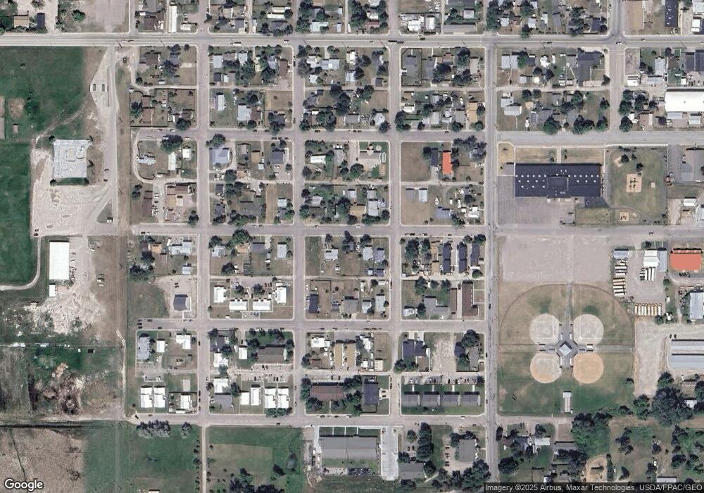
Map
Nearby Homes
- 908 2nd St W Unit 6
- 908 2nd St W Unit 5
- 908 2nd St W Unit 7
- 806 4th St W
- Lot 1 7th Ave W
- Lot 6 7th Ave W
- 1005 Main St
- 804 7th Ave W Unit 10
- 304 11th Ave E
- 904 4th St E
- 110 Island View Dr
- 105 Island View Dr
- 202 Island View Dr
- 404 12th Ave E
- Lot 12 Highland Dr
- 1104 5th St E
- 36344 Kerr Dam Rd
- 604 10th Ave E Unit D
- 604 10th Ave E Unit B
- 604 10th Ave E Unit H
- 303 9th Ave W
- 301 9th Ave W
- 307 9th Ave W
- 304 9th Ave W
- 806 3rd St W
- 308 9th Ave W
- 309 9th Ave W
- 308 9th Ave W
- 312 9th Ave W
- 211 9th Ave W
- 306 10th Ave W
- 308 10th Ave W
- 912 3rd St W
- 209 9th Ave W
- 911 4th St W
- 401 9th Ave W
- 206 11th Ave W
- 206 11th Ave W Unit 206 11th Ave. W-Unit
- 210 10th Ave W
- Nhn 10th Ave W
Your Personal Tour Guide
Ask me questions while you tour the home.