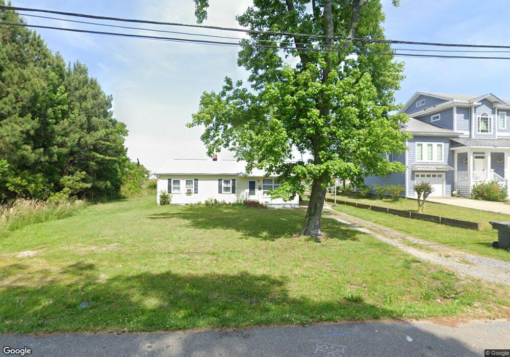
305 Benthall Rd Hampton, VA 23664
Buckroe Beach NeighborhoodEstimated Value: $277,000 - $348,000
2
Beds
2
Baths
1,107
Sq Ft
$275/Sq Ft
Est. Value
About This Home
This home is located at 305 Benthall Rd, Hampton, VA 23664 and is currently estimated at $304,537, approximately $275 per square foot. 305 Benthall Rd is a home located in Hampton City with nearby schools including Francis Asbury Elementary School, Benjamin Syms Middle School, and Phoebus High School.
Ownership History
Date
Name
Owned For
Owner Type
Purchase Details
Closed on
Jul 9, 2021
Sold by
Mangum Mary D
Bought by
Mangum Larissa M
Current Estimated Value
Purchase Details
Closed on
Jan 8, 2019
Sold by
Mangum Mary D and Mangum Larissa M
Bought by
Mangum Mary D and Mangum Larissa M
Purchase Details
Closed on
Jul 11, 2018
Sold by
Mangum Mary D
Bought by
Mangum Larissa M
Create a Home Valuation Report for This Property
The Home Valuation Report is an in-depth analysis detailing your home's value as well as a comparison with similar homes in the area
Home Values in the Area
Average Home Value in this Area
Purchase History
| Date | Buyer | Sale Price | Title Company |
|---|---|---|---|
| Mangum Larissa M | -- | None Available | |
| Mangum Mary D | -- | None Available | |
| Mangum Larissa M | -- | None Available |
Source: Public Records
Tax History
| Year | Tax Paid | Tax Assessment Tax Assessment Total Assessment is a certain percentage of the fair market value that is determined by local assessors to be the total taxable value of land and additions on the property. | Land | Improvement |
|---|---|---|---|---|
| 2025 | $3,463 | $340,100 | $220,000 | $120,100 |
| 2024 | $2,753 | $239,400 | $132,000 | $107,400 |
| 2023 | $2,704 | $233,100 | $132,000 | $101,100 |
| 2022 | $2,603 | $220,600 | $126,000 | $94,600 |
| 2021 | $2,655 | $203,600 | $120,000 | $83,600 |
| 2020 | $2,433 | $196,200 | $120,000 | $76,200 |
| 2019 | $2,433 | $196,200 | $120,000 | $76,200 |
| 2018 | $2,696 | $220,100 | $132,000 | $88,100 |
| 2017 | $2,823 | $0 | $0 | $0 |
| 2016 | $2,855 | $222,700 | $0 | $0 |
| 2015 | $2,855 | $0 | $0 | $0 |
| 2014 | $3,083 | $222,700 | $132,000 | $90,700 |
Source: Public Records
Map
Nearby Homes
- 309 Benthall Rd
- 231 Benthall Rd
- 408 Rogers Ave
- 417 Hunlac Ave
- 1040 Porte Harbour Arch
- 1030 Porte Harbour Arch
- 403 Benthall Rd
- 205 Benthall Rd
- 1003 High Dunes Quay Unit 101
- 750 N First St
- 1031 High Dunes Quay Unit 103
- 774 N First St
- 786 N First St
- 1777 Carriage Dr
- 34 Channel Ln
- 449 Benthall Rd
- 22 Channel Ln
- 14 Jayne Lee Dr
- 307 N First St
- 242 Genoa Dr Unit 20
- 301 Benthall Rd
- 303 Benthall Rd
- 317 Benthall Rd
- 313 Benthall Rd
- 222 Benthall Rd
- 306 Benthall Rd
- 308 Benthall Rd
- 315 Benthall Rd
- 220 Benthall Rd
- 319 Benthall Rd
- 312 Benthall Rd
- 404 Hunlac Ave
- 235 Benthall Rd
- 223 Benthall Rd
- 218 Benthall Rd
- 314 Benthall Rd
- 321 Benthall Rd
- 406 Hunlac Ave
- 403 Hunlac Ave
- 58 Chowning Dr
Your Personal Tour Guide
Ask me questions while you tour the home.