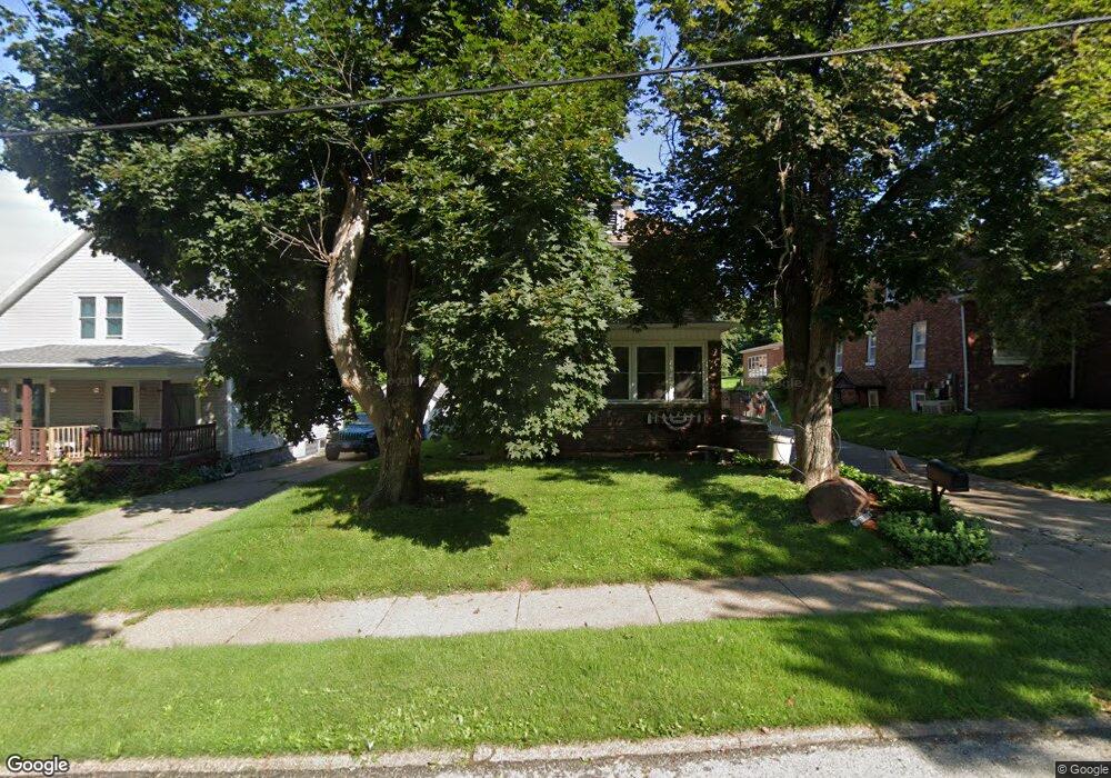
305 Burnside Ave Muscatine, IA 52761
Estimated Value: $238,000 - $294,000
4
Beds
4
Baths
2,626
Sq Ft
$103/Sq Ft
Est. Value
About This Home
This home is located at 305 Burnside Ave, Muscatine, IA 52761 and is currently estimated at $269,465, approximately $102 per square foot. 305 Burnside Ave is a home located in Muscatine County with nearby schools including Grant Elementary School, Central Middle School, and Muscatine High School.
Ownership History
Date
Name
Owned For
Owner Type
Purchase Details
Closed on
Mar 25, 2022
Sold by
Clark Daniel B
Bought by
Clark Daniel B and Clark Cynthia L
Current Estimated Value
Purchase Details
Closed on
Aug 26, 2013
Sold by
Clark Cynthia L and Clark Daniel B
Bought by
Clark Daniel B and Clark Cynthia L
Home Financials for this Owner
Home Financials are based on the most recent Mortgage that was taken out on this home.
Original Mortgage
$151,900
Interest Rate
4.33%
Mortgage Type
New Conventional
Create a Home Valuation Report for This Property
The Home Valuation Report is an in-depth analysis detailing your home's value as well as a comparison with similar homes in the area
Home Values in the Area
Average Home Value in this Area
Purchase History
| Date | Buyer | Sale Price | Title Company |
|---|---|---|---|
| Clark Daniel B | -- | None Listed On Document | |
| Clark Daniel B | -- | None Available |
Source: Public Records
Mortgage History
| Date | Status | Borrower | Loan Amount |
|---|---|---|---|
| Previous Owner | Clark Daniel B | $151,900 |
Source: Public Records
Tax History Compared to Growth
Tax History
| Year | Tax Paid | Tax Assessment Tax Assessment Total Assessment is a certain percentage of the fair market value that is determined by local assessors to be the total taxable value of land and additions on the property. | Land | Improvement |
|---|---|---|---|---|
| 2025 | $3,710 | $238,560 | $30,250 | $208,310 |
| 2024 | $3,710 | $237,010 | $30,250 | $206,760 |
| 2023 | $3,644 | $218,710 | $30,284 | $188,426 |
| 2022 | $3,266 | $193,470 | $28,570 | $164,900 |
| 2021 | $3,266 | $172,450 | $28,570 | $143,880 |
| 2020 | $3,188 | $163,860 | $28,570 | $135,290 |
| 2019 | $3,206 | $156,920 | $0 | $0 |
| 2018 | $3,142 | $156,250 | $0 | $0 |
| 2017 | $3,274 | $156,720 | $0 | $0 |
| 2016 | $3,272 | $156,720 | $0 | $0 |
| 2015 | $3,272 | $131,730 | $0 | $0 |
| 2014 | $2,726 | $124,090 | $0 | $0 |
Source: Public Records
Map
Nearby Homes
- 303 Burnside Ave
- 307 Burnside Ave
- 301 Burnside Ave
- 304 Burnside Ave
- 306 Burnside Ave
- 2002 Mulberry Ave
- 2006 Mulberry Ave
- 302 Burnside Ave
- 308 Burnside Ave
- 2008 Mulberry Ave
- 220 Burnside Ave
- 295 Burnside Ave
- 216 Burnside Ave
- 2010 Mulberry Ave
- 1912 Mulberry Ave
- 291 Burnside Ave
- 2012 Mulberry Ave
- 292 Burnside Ave
- 1908 Mulberry Ave
- 2013 Burnside Dr