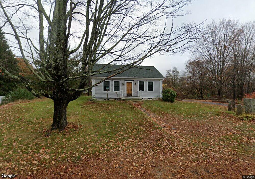
305 Cat Mousam Rd Kennebunk, ME 04043
Estimated Value: $543,269 - $575,000
2
Beds
2
Baths
1,216
Sq Ft
$458/Sq Ft
Est. Value
About This Home
This home is located at 305 Cat Mousam Rd, Kennebunk, ME 04043 and is currently estimated at $557,423, approximately $458 per square foot. 305 Cat Mousam Rd is a home located in York County with nearby schools including Kennebunk High School and The New School.
Create a Home Valuation Report for This Property
The Home Valuation Report is an in-depth analysis detailing your home's value as well as a comparison with similar homes in the area
Home Values in the Area
Average Home Value in this Area
Tax History Compared to Growth
Tax History
| Year | Tax Paid | Tax Assessment Tax Assessment Total Assessment is a certain percentage of the fair market value that is determined by local assessors to be the total taxable value of land and additions on the property. | Land | Improvement |
|---|---|---|---|---|
| 2024 | $5,680 | $335,100 | $81,600 | $253,500 |
| 2023 | $5,378 | $335,100 | $81,600 | $253,500 |
| 2022 | $4,892 | $335,100 | $81,600 | $253,500 |
| 2021 | $4,775 | $335,100 | $81,600 | $253,500 |
| 2020 | $4,742 | $335,100 | $81,600 | $253,500 |
| 2019 | $4,608 | $335,100 | $81,600 | $253,500 |
| 2018 | $3,231 | $185,000 | $61,200 | $123,800 |
| 2017 | $2,099 | $126,800 | $61,200 | $65,600 |
| 2016 | $1,092 | $68,700 | $61,200 | $7,500 |
| 2015 | $3,556 | $241,900 | $61,200 | $180,700 |
| 2014 | $3,463 | $241,900 | $61,200 | $180,700 |
Source: Public Records
Map
Nearby Homes
- 23 Lilac Ln
- 23 Cascade Cir Unit 22
- 056 Cat Mousam Rd
- 3 Nichols Ln
- 29 Bentley Place Unit 50
- 6 Dunnhill Dr Unit 28
- 9 Hampton Glen Dr Unit 3
- 17 Hampton Glen Dr Unit 5
- 3 Kensington Dr
- 22 Winchester Ct
- 25 Cambridge Ct
- 30 Twine Mill Rd
- 108 Hampton Glen Dr Unit 108
- 19 Old Alewive Rd
- 59 Plymouth Grove Unit 11
- 9 Patterson Dr
- 0 Potvin Rd
- 9 Hammond Rd
- 15 Casey Ln
- 3 Hardwood Dr