305 Dalsland Way Dandridge, TN 37725
Estimated Value: $503,000 - $810,000
--
Bed
2
Baths
1,664
Sq Ft
$398/Sq Ft
Est. Value
About This Home
This home is located at 305 Dalsland Way, Dandridge, TN 37725 and is currently estimated at $662,479, approximately $398 per square foot. 305 Dalsland Way is a home located in Jefferson County.
Ownership History
Date
Name
Owned For
Owner Type
Purchase Details
Closed on
Aug 26, 2021
Sold by
Stewart Richard D and Stewart Myrtle
Bought by
Rabaduex James and Rabaduex Amanda
Current Estimated Value
Home Financials for this Owner
Home Financials are based on the most recent Mortgage that was taken out on this home.
Original Mortgage
$424,920
Outstanding Balance
$386,646
Interest Rate
2.8%
Mortgage Type
New Conventional
Estimated Equity
$275,833
Purchase Details
Closed on
Aug 7, 2014
Sold by
Dalson Gene Tom
Bought by
Stewart Richard D and Stewart Myrtle
Home Financials for this Owner
Home Financials are based on the most recent Mortgage that was taken out on this home.
Original Mortgage
$227,525
Interest Rate
4.19%
Mortgage Type
New Conventional
Purchase Details
Closed on
Aug 5, 2014
Sold by
Slusher Henry J and Slusher Crystal L
Bought by
Dalson Gene Tom and Dalson Sandy M
Home Financials for this Owner
Home Financials are based on the most recent Mortgage that was taken out on this home.
Original Mortgage
$227,525
Interest Rate
4.19%
Mortgage Type
New Conventional
Purchase Details
Closed on
Jan 20, 2006
Bought by
Dalson Gene Tom and Dalson Jeffrey Tom
Create a Home Valuation Report for This Property
The Home Valuation Report is an in-depth analysis detailing your home's value as well as a comparison with similar homes in the area
Home Values in the Area
Average Home Value in this Area
Purchase History
| Date | Buyer | Sale Price | Title Company |
|---|---|---|---|
| Rabaduex James | $534,900 | Crown Title Ins Agency Inc | |
| Stewart Richard D | $239,000 | -- | |
| Stewart Richard D | $239,500 | -- | |
| Dalson Gene Tom | -- | -- | |
| Dalson Gene Tom | -- | -- |
Source: Public Records
Mortgage History
| Date | Status | Borrower | Loan Amount |
|---|---|---|---|
| Open | Rabaduex James | $424,920 | |
| Previous Owner | Stewart Richard D | $227,525 |
Source: Public Records
Tax History Compared to Growth
Tax History
| Year | Tax Paid | Tax Assessment Tax Assessment Total Assessment is a certain percentage of the fair market value that is determined by local assessors to be the total taxable value of land and additions on the property. | Land | Improvement |
|---|---|---|---|---|
| 2025 | $1,494 | $131,875 | $32,150 | $99,725 |
| 2023 | $1,494 | $64,950 | $0 | $0 |
| 2022 | $1,422 | $64,950 | $17,350 | $47,600 |
| 2021 | $1,422 | $64,950 | $17,350 | $47,600 |
| 2020 | $1,422 | $64,950 | $17,350 | $47,600 |
| 2019 | $1,422 | $64,950 | $17,350 | $47,600 |
| 2018 | $1,329 | $56,550 | $13,875 | $42,675 |
| 2017 | $1,329 | $56,550 | $13,875 | $42,675 |
| 2016 | $1,329 | $56,550 | $13,875 | $42,675 |
| 2015 | $1,395 | $59,350 | $14,325 | $45,025 |
| 2014 | $1,395 | $59,350 | $14,325 | $45,025 |
Source: Public Records
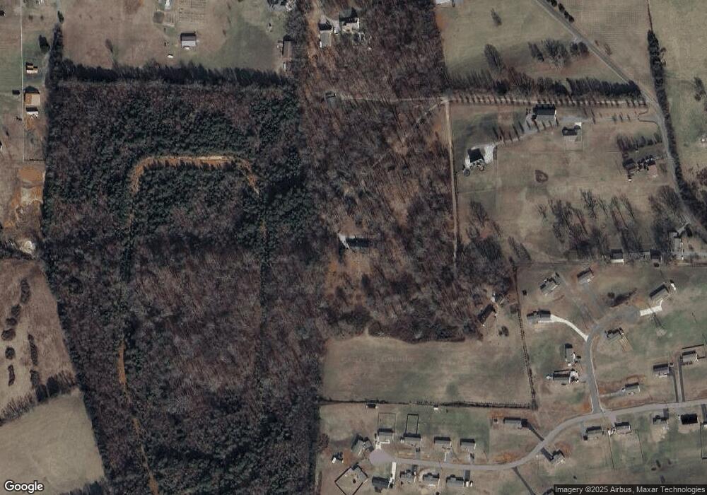
Map
Nearby Homes
- 305 Dalsland Way
- 308 Dalsland Way
- 0 Dalsand Way Unit 785168
- 1933 Fain Cemetery Rd
- 303 Dalsland Way
- 312 Dalsland Way
- 670 Towers Dr
- 47 Arangio Trail
- 1935 Fain Cemetery Rd
- 1879 Fain Cemetery Rd
- 658 Towers Dr
- 1875 Fain Cemetery Rd
- 0 Towers Dr
- 0 Fain Cemetery Road Rd
- 1885 Fain Cemetery Rd
- 1943 Fain Cemetery Rd
- 0 Fain Cemetery Rd
- 1955 Fain Cemetery Rd
- 1965 Fain Cemetery Rd
- 1971 Fain Cemetery Rd