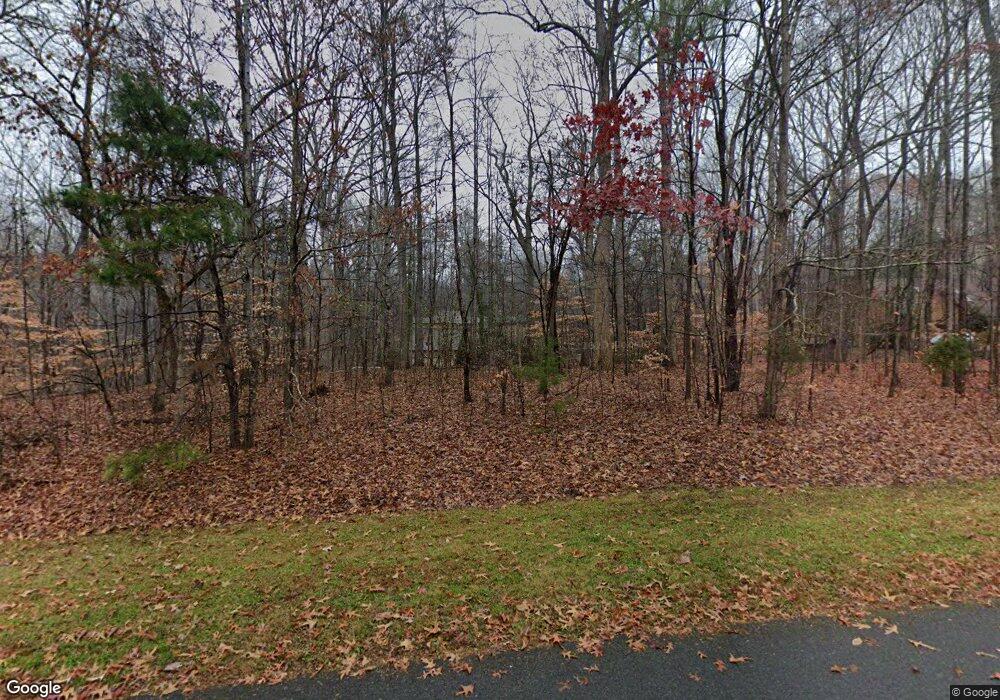
305 Devonport Dr Matthews, NC 28104
Estimated Value: $699,000 - $872,000
3
Beds
3
Baths
3,066
Sq Ft
$244/Sq Ft
Est. Value
About This Home
This home is located at 305 Devonport Dr, Matthews, NC 28104 and is currently estimated at $748,737, approximately $244 per square foot. 305 Devonport Dr is a home located in Union County with nearby schools including Antioch Elementary School, Weddington Middle School, and Weddington High School.
Ownership History
Date
Name
Owned For
Owner Type
Purchase Details
Closed on
Dec 8, 2005
Sold by
Bolahan Anani and Bolahan Phyllis J
Bought by
Crull Richard E M and Crull Patricia M
Current Estimated Value
Home Financials for this Owner
Home Financials are based on the most recent Mortgage that was taken out on this home.
Original Mortgage
$227,900
Outstanding Balance
$124,736
Interest Rate
6.12%
Mortgage Type
Fannie Mae Freddie Mac
Estimated Equity
$624,001
Create a Home Valuation Report for This Property
The Home Valuation Report is an in-depth analysis detailing your home's value as well as a comparison with similar homes in the area
Purchase History
| Date | Buyer | Sale Price | Title Company |
|---|---|---|---|
| Crull Richard E M | $285,000 | -- |
Source: Public Records
Mortgage History
| Date | Status | Borrower | Loan Amount |
|---|---|---|---|
| Open | Crull Richard E M | $227,900 |
Source: Public Records
Tax History Compared to Growth
Tax History
| Year | Tax Paid | Tax Assessment Tax Assessment Total Assessment is a certain percentage of the fair market value that is determined by local assessors to be the total taxable value of land and additions on the property. | Land | Improvement |
|---|---|---|---|---|
| 2025 | $3,297 | $660,000 | $0 | $0 |
| 2024 | $3,262 | $459,300 | $78,000 | $381,300 |
| 2023 | $2,907 | $459,300 | $78,000 | $381,300 |
| 2022 | $2,921 | $459,300 | $78,000 | $381,300 |
| 2021 | $2,921 | $459,300 | $78,000 | $381,300 |
| 2020 | $2,562 | $350,500 | $78,200 | $272,300 |
| 2019 | $2,744 | $350,500 | $78,200 | $272,300 |
| 2018 | $2,562 | $350,500 | $78,200 | $272,300 |
| 2017 | $2,737 | $350,500 | $78,200 | $272,300 |
| 2016 | $2,687 | $350,500 | $78,200 | $272,300 |
| 2015 | $2,722 | $350,500 | $78,200 | $272,300 |
| 2014 | $2,478 | $357,640 | $156,000 | $201,640 |
Source: Public Records
Map
Nearby Homes
- 7236 Cobblecreek Dr
- 7324 Cobble Creek Dr
- 3517 Honeysuckle Dr
- 403 Deodar Cedar Dr
- 4909 Hudson Church Rd
- 303 River Birch Ln
- 5000 Waxhaw Indian Trail Rd
- 1632 Beulah Church Rd
- 401 Hollyhock Dr
- 1106 Anniston Place Unit 51
- 2683 Beulah Church Rd
- 1120 Augustus Beamon Dr
- 1203 Augustus Beamon Dr
- 301 Weddington Grove Ln
- 1337 Whispering Oaks Cir
- 1020 Broken Spur Rd
- 1003 Rocking Horse Rd
- 718 Eagle Point Ct
- 1004 Rocking Horse Rd
- 5061 Puddle Pond Rd
- 305 Devonport Dr
- 317 Devonport Rd
- 209 Plymouth Dr
- 516 Auckland Ln
- 401 Devonport Dr
- 401 Devonport Dr
- 201 Devonport Dr
- 312 Devonport Dr
- 100 Dundin Place
- 217 Plymouth Dr
- 312 Devonport Dr
- 201 Plymouth Dr
- 1216 Gramercy Dr Unit 34
- 409 Devonport Rd
- 208 Devonport Dr
- 208 Devonport Rd
- 400 Devonport Dr
- 200 Devonport Dr
- 200 Devonport Dr
- 125 Devonport Rd
