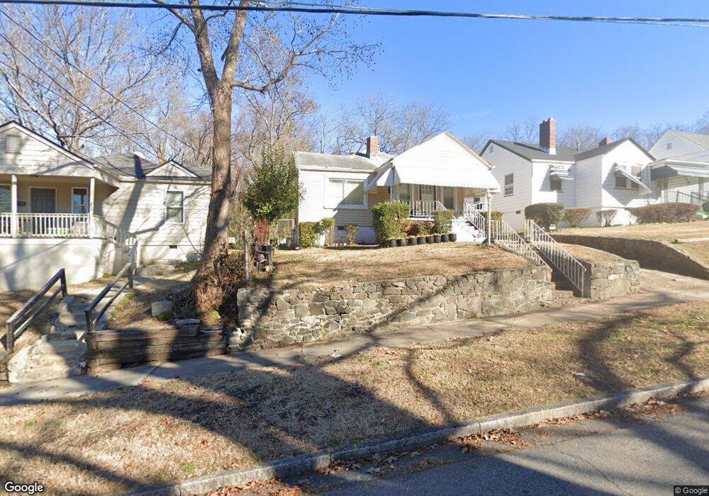
305 Dunstan Ave Durham, NC 27707
Spaulding Community NeighborhoodEstimated Value: $163,000 - $297,000
3
Beds
1
Bath
1,050
Sq Ft
$228/Sq Ft
Est. Value
About This Home
This home is located at 305 Dunstan Ave, Durham, NC 27707 and is currently estimated at $239,514, approximately $228 per square foot. 305 Dunstan Ave is a home located in Durham County with nearby schools including C. C. Spaulding Elementary, Morehead Montessori, and Sherwood Githens Middle.
Ownership History
Date
Name
Owned For
Owner Type
Purchase Details
Closed on
Jan 11, 2005
Sold by
Kennedy Cheryl A
Bought by
Kennedy Cheryl A and Mizzell Calvin
Current Estimated Value
Home Financials for this Owner
Home Financials are based on the most recent Mortgage that was taken out on this home.
Original Mortgage
$90,900
Interest Rate
5.71%
Mortgage Type
New Conventional
Create a Home Valuation Report for This Property
The Home Valuation Report is an in-depth analysis detailing your home's value as well as a comparison with similar homes in the area
Home Values in the Area
Average Home Value in this Area
Purchase History
| Date | Buyer | Sale Price | Title Company |
|---|---|---|---|
| Kennedy Cheryl A | -- | -- |
Source: Public Records
Mortgage History
| Date | Status | Borrower | Loan Amount |
|---|---|---|---|
| Closed | Kennedy Cheryl A | $90,900 |
Source: Public Records
Tax History
| Year | Tax Paid | Tax Assessment Tax Assessment Total Assessment is a certain percentage of the fair market value that is determined by local assessors to be the total taxable value of land and additions on the property. | Land | Improvement |
|---|---|---|---|---|
| 2025 | $2,580 | $260,240 | $137,500 | $122,740 |
| 2024 | $1,548 | $110,986 | $54,850 | $56,136 |
| 2023 | $1,454 | $110,986 | $54,850 | $56,136 |
| 2022 | $1,421 | $110,986 | $54,850 | $56,136 |
| 2021 | $1,414 | $110,986 | $54,850 | $56,136 |
| 2020 | $1,381 | $110,986 | $54,850 | $56,136 |
| 2019 | $1,381 | $110,986 | $54,850 | $56,136 |
| 2018 | $1,008 | $74,294 | $13,712 | $60,582 |
| 2017 | $1,000 | $74,294 | $13,712 | $60,582 |
| 2016 | $967 | $74,294 | $13,712 | $60,582 |
| 2015 | $785 | $56,719 | $15,799 | $40,920 |
| 2014 | $785 | $56,719 | $15,799 | $40,920 |
Source: Public Records
Map
Nearby Homes
- 401 Moline St
- 1608 Fayetteville St
- 200 Bern St
- 111 Dunstan Ave
- 602 Dunbar St
- 1203 Avery St
- 107 Bond St
- 311 Burnette St
- 108 Lodge St
- 1222 Merrick St
- 1609 Lincoln St
- 313 E Umstead St
- 315 E Umstead St
- 803 A Dupree St
- 803 B Dupree St
- 106 W Umstead St
- 802 Cox Ave
- 429 Carolina Cir
- 809 Dupree St
- 2201 Otis St
- 307 Dunstan Ave
- 303 Dunstan Ave
- 309 Dunstan Ave
- 310 Price Ave
- US 70 Dunstan Ave
- 311 Dunstan Ave
- 302 Dunstan Ave
- 312 Price Ave
- 304 Dunstan Ave
- 306 Dunstan Ave
- 313 Dunstan Ave
- 314 Price Ave
- 127 Dunstan Ave
- 308 Dunstan Ave
- 1500 Concord St
- 401 Dunstan Ave
- 125 Dunstan Ave
- 400 Price Ave
- 400 Price Ave Unit 4
- 310 Dunstan Ave
Your Personal Tour Guide
Ask me questions while you tour the home.