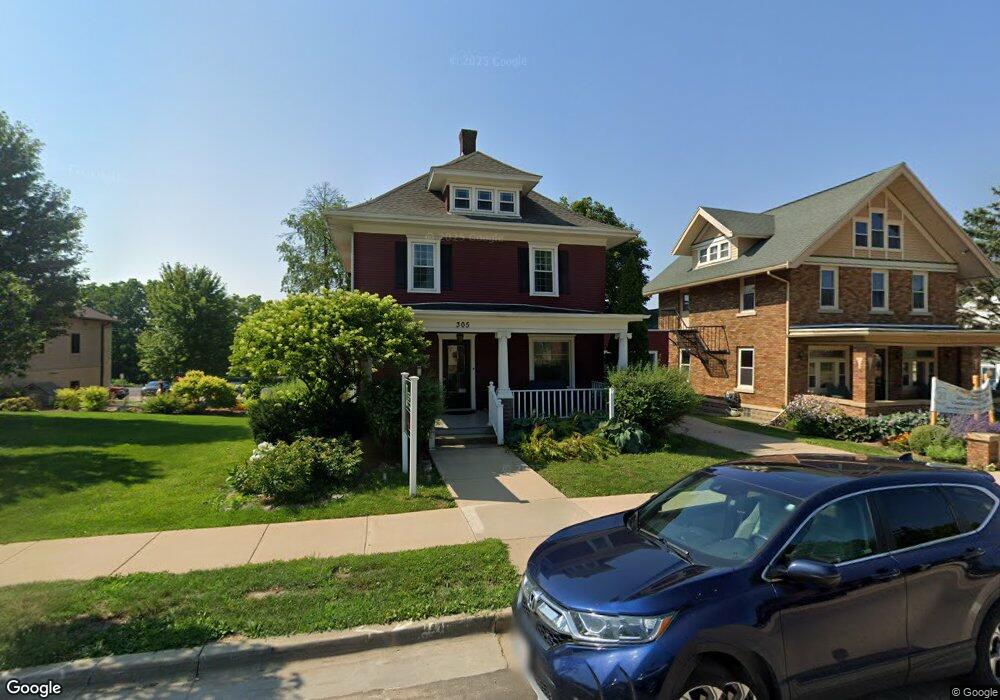
305 E Main St Mount Horeb, WI 53572
Estimated Value: $490,421
Studio
--
Bath
2,160
Sq Ft
$227/Sq Ft
Est. Value
About This Home
This home is located at 305 E Main St, Mount Horeb, WI 53572 and is currently priced at $490,421, approximately $227 per square foot. 305 E Main St is a home located in Dane County with nearby schools including Mount Horeb Primary Center, Mount Horeb Intermediate School, and Mount Horeb Middle School.
Ownership History
Date
Name
Owned For
Owner Type
Purchase Details
Closed on
May 3, 2017
Sold by
Haack David E and Haack Patricia J
Bought by
Botham Investments Llc
Current Estimated Value
Home Financials for this Owner
Home Financials are based on the most recent Mortgage that was taken out on this home.
Original Mortgage
$227,200
Outstanding Balance
$186,208
Interest Rate
4.1%
Mortgage Type
Purchase Money Mortgage
Purchase Details
Closed on
Jan 8, 2010
Sold by
Russells Woodshed Ltd
Bought by
Haack David E and Haack Patricia J
Home Financials for this Owner
Home Financials are based on the most recent Mortgage that was taken out on this home.
Original Mortgage
$208,000
Interest Rate
4.78%
Mortgage Type
Commercial
Create a Home Valuation Report for This Property
The Home Valuation Report is an in-depth analysis detailing your home's value as well as a comparison with similar homes in the area
Home Values in the Area
Average Home Value in this Area
Purchase History
| Date | Buyer | Sale Price | Title Company |
|---|---|---|---|
| Botham Investments Llc | $300,000 | None Available | |
| Haack David E | $260,000 | None Available |
Source: Public Records
Mortgage History
| Date | Status | Borrower | Loan Amount |
|---|---|---|---|
| Open | Botham Investments Llc | $227,200 | |
| Previous Owner | Haack David E | $208,000 |
Source: Public Records
Tax History
| Year | Tax Paid | Tax Assessment Tax Assessment Total Assessment is a certain percentage of the fair market value that is determined by local assessors to be the total taxable value of land and additions on the property. | Land | Improvement |
|---|---|---|---|---|
| 2025 | $15,754 | $887,100 | $95,800 | $791,300 |
| 2023 | $13,599 | $887,100 | $95,800 | $791,300 |
| 2022 | $12,566 | $606,300 | $95,800 | $510,500 |
| 2021 | $6,146 | $300,000 | $95,800 | $204,200 |
| 2020 | $5,989 | $300,000 | $95,800 | $204,200 |
| 2019 | $6,051 | $300,000 | $95,800 | $204,200 |
| 2018 | $5,918 | $300,000 | $95,800 | $204,200 |
| 2017 | $4,977 | $235,200 | $78,700 | $156,500 |
| 2016 | $4,576 | $235,200 | $78,700 | $156,500 |
| 2015 | $4,323 | $235,200 | $78,700 | $156,500 |
| 2014 | -- | $235,200 | $78,700 | $156,500 |
| 2013 | $4,507 | $235,200 | $78,700 | $156,500 |
Source: Public Records
Map
Nearby Homes
- 104 S 5th St
- 114 N 2nd St
- 210 S 6th St
- 10.2 Acres Wisconsin 78
- 101 W Garfield St
- 105 W Garfield St
- 214 S 8th St
- 211 W Garfield St
- 209 Buechner Dr
- 308 Green St
- 709 Hamilton Dr
- 126 Jennifer Cir
- 100 Jennifer Cir
- Lot 2 Greve Cir
- 204 Westmorland Dr
- 505 Alan Dr
- 908 Brookview Trail
- 901 Blue Mounds St
- 809 Maple Dr
- 121 Autumnwood Cir
Your Personal Tour Guide
Ask me questions while you tour the home.