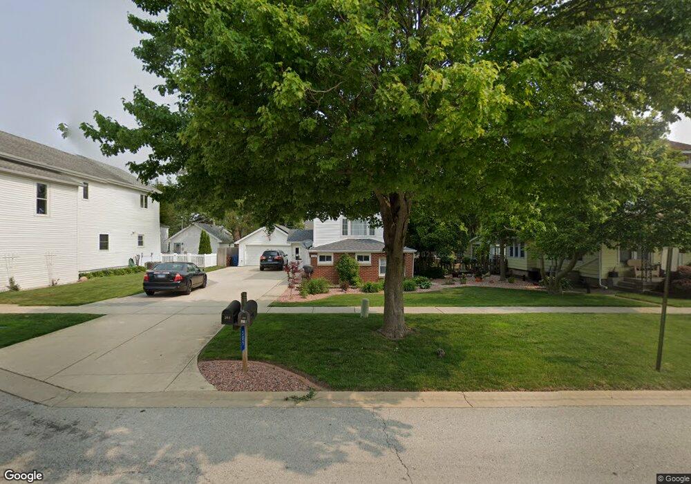
305 E Main St Peotone, IL 60468
Estimated Value: $184,000 - $370,000
Studio
--
Bath
--
Sq Ft
9,583
Sq Ft Lot
About This Home
This home is located at 305 E Main St, Peotone, IL 60468 and is currently estimated at $275,567. 305 E Main St is a home located in Will County with nearby schools including Peotone Elementary School, Peotone Intermediate Center, and Peotone Junior High School.
Ownership History
Date
Name
Owned For
Owner Type
Purchase Details
Closed on
Oct 1, 2003
Sold by
Pollak Gregory S
Bought by
Sommerfield David A
Current Estimated Value
Home Financials for this Owner
Home Financials are based on the most recent Mortgage that was taken out on this home.
Original Mortgage
$172,296
Interest Rate
6.07%
Mortgage Type
FHA
Purchase Details
Closed on
May 15, 1995
Sold by
Pollak Walter Robert and Pollak June C
Bought by
Pollak Gregory S
Home Financials for this Owner
Home Financials are based on the most recent Mortgage that was taken out on this home.
Original Mortgage
$69,000
Interest Rate
8.26%
Create a Home Valuation Report for This Property
The Home Valuation Report is an in-depth analysis detailing your home's value as well as a comparison with similar homes in the area
Home Values in the Area
Average Home Value in this Area
Purchase History
| Date | Buyer | Sale Price | Title Company |
|---|---|---|---|
| Sommerfield David A | $175,000 | Chicago Title Insurance Co | |
| Pollak Gregory S | $69,000 | Chicago Title Insurance Co |
Source: Public Records
Mortgage History
| Date | Status | Borrower | Loan Amount |
|---|---|---|---|
| Previous Owner | Sommerfield David A | $172,296 | |
| Previous Owner | Pollak Gregory S | $69,000 |
Source: Public Records
Tax History
| Year | Tax Paid | Tax Assessment Tax Assessment Total Assessment is a certain percentage of the fair market value that is determined by local assessors to be the total taxable value of land and additions on the property. | Land | Improvement |
|---|---|---|---|---|
| 2024 | $4,155 | $75,845 | $11,788 | $64,057 |
| 2023 | $4,155 | $72,007 | $12,832 | $59,175 |
| 2022 | $3,931 | $64,959 | $11,576 | $53,383 |
| 2021 | $3,748 | $60,031 | $10,698 | $49,333 |
| 2020 | $3,633 | $57,010 | $10,160 | $46,850 |
| 2019 | $3,794 | $57,010 | $10,160 | $46,850 |
| 2018 | $4,055 | $57,010 | $10,160 | $46,850 |
| 2017 | $3,963 | $55,511 | $9,893 | $45,618 |
| 2016 | $3,902 | $54,423 | $9,699 | $44,724 |
| 2015 | $4,108 | $52,633 | $9,380 | $43,253 |
| 2014 | $4,108 | $52,633 | $9,380 | $43,253 |
| 2013 | $4,108 | $53,009 | $9,447 | $43,562 |
Source: Public Records
Map
Nearby Homes
- 409 E Main St
- 313 E Corning Ave
- 311 S Third St
- 205 W Crawford St
- 320 W North St
- 332 W North St
- 0 S Governors Hwy
- 114 Hickory St
- 206 Hickory St
- 536 Schroeder Ave
- 617 The Hague
- Lot 015 S Rathje Rd
- 452 Manor Dr
- 0 W Wilmington Rd
- 820 W Locust Ln
- 28200 S Lagrange Hwy
- Sec.32 W T 33n R 13e Rd
- 0 S Ridgeland Unit 21819390
- 1059 Hummingbird Ln
- Lot 002 Oriole Dr
Your Personal Tour Guide
Ask me questions while you tour the home.