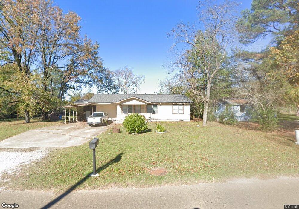
305 E Memorial St Broken Bow, OK 74728
Estimated Value: $121,113 - $195,000
3
Beds
2
Baths
1,224
Sq Ft
$139/Sq Ft
Est. Value
About This Home
This home is located at 305 E Memorial St, Broken Bow, OK 74728 and is currently estimated at $170,028, approximately $138 per square foot. 305 E Memorial St is a home located in McCurtain County with nearby schools including Dierks Elementary School, Bennett Elementary School, and Rector Johnson Middle School.
Ownership History
Date
Name
Owned For
Owner Type
Purchase Details
Closed on
Jun 25, 2020
Sold by
Vielma Kimberley
Bought by
Vielma Sheldon and Vielma Kiara
Current Estimated Value
Purchase Details
Closed on
Mar 15, 2013
Sold by
Krentzel Connie L
Bought by
Krantzel Connie L and Vielma Kimberly Cantwell
Purchase Details
Closed on
May 1, 1999
Sold by
Krentzel Connie L
Bought by
Zumalt Juanita
Purchase Details
Closed on
Aug 10, 1995
Sold by
Rone Dovie
Bought by
Zumalt Juanita and Zumalt Connie
Create a Home Valuation Report for This Property
The Home Valuation Report is an in-depth analysis detailing your home's value as well as a comparison with similar homes in the area
Home Values in the Area
Average Home Value in this Area
Purchase History
| Date | Buyer | Sale Price | Title Company |
|---|---|---|---|
| Vielma Sheldon | -- | None Available | |
| Krantzel Connie L | -- | None Available | |
| Zumalt Juanita | -- | -- | |
| Zumalt Juanita | $37,500 | -- |
Source: Public Records
Tax History
| Year | Tax Paid | Tax Assessment Tax Assessment Total Assessment is a certain percentage of the fair market value that is determined by local assessors to be the total taxable value of land and additions on the property. | Land | Improvement |
|---|---|---|---|---|
| 2025 | $141 | $2,693 | $453 | $2,240 |
| 2024 | $134 | $2,615 | $440 | $2,175 |
| 2023 | $128 | $2,539 | $440 | $2,099 |
| 2022 | $120 | $2,465 | $440 | $2,025 |
| 2021 | $118 | $2,465 | $440 | $2,025 |
| 2020 | $119 | $2,465 | $440 | $2,025 |
| 2019 | $120 | $2,465 | $440 | $2,025 |
| 2018 | $121 | $2,465 | $440 | $2,025 |
| 2017 | $122 | $2,465 | $440 | $2,025 |
| 2016 | $139 | $2,654 | $281 | $2,373 |
| 2015 | $142 | $2,654 | $281 | $2,373 |
| 2014 | $136 | $2,577 | $204 | $2,373 |
Source: Public Records
Map
Nearby Homes
- 309 E Memorial St
- 81 Annie Oak Trail
- 113 Highmeadow Cir
- 107 Yashau Creek Dr
- 1 Kuykendall Rd
- 1200 Kuykendall Rd
- 2006 Kuykendall Rd
- 2008 Kuykendall Rd
- 05 Kuykendall Rd
- 2007 Kuykendall Rd
- 2004 Kuykendall Rd
- 2011 Kuykendall Rd
- 2005 Kuykendall Rd
- 2009 Kuykendall Rd
- 2025 Kuykendall Rd
- 2010 Kuykendall Rd
- 2003 Kuykendall Rd
- 2002 Kuykendall Rd
- 509 Clay St
- 1912 S Park Dr
- 304 E Memorial St
- 308 E Memorial St
- 302 E Memorial St
- 302 E Memorial St
- 306 E Memorial St
- 310 E Memorial St
- 300 E Memorial St
- 114 Esplanade Dr
- 401 E Memorial St
- 38 Mountain Goat Trail
- 111 Esplanade Dr
- 210 E Memorial St
- 102 Esplanade Dr
- 101 Esplanade Dr
- 401 1/2 E Memorial St
- 104 Esplanade Dr
- 103 Esplanade Dr
- 304 Dogwood Ct
- 305 Dogwood Ct
- 208 E Memorial St
Your Personal Tour Guide
Ask me questions while you tour the home.