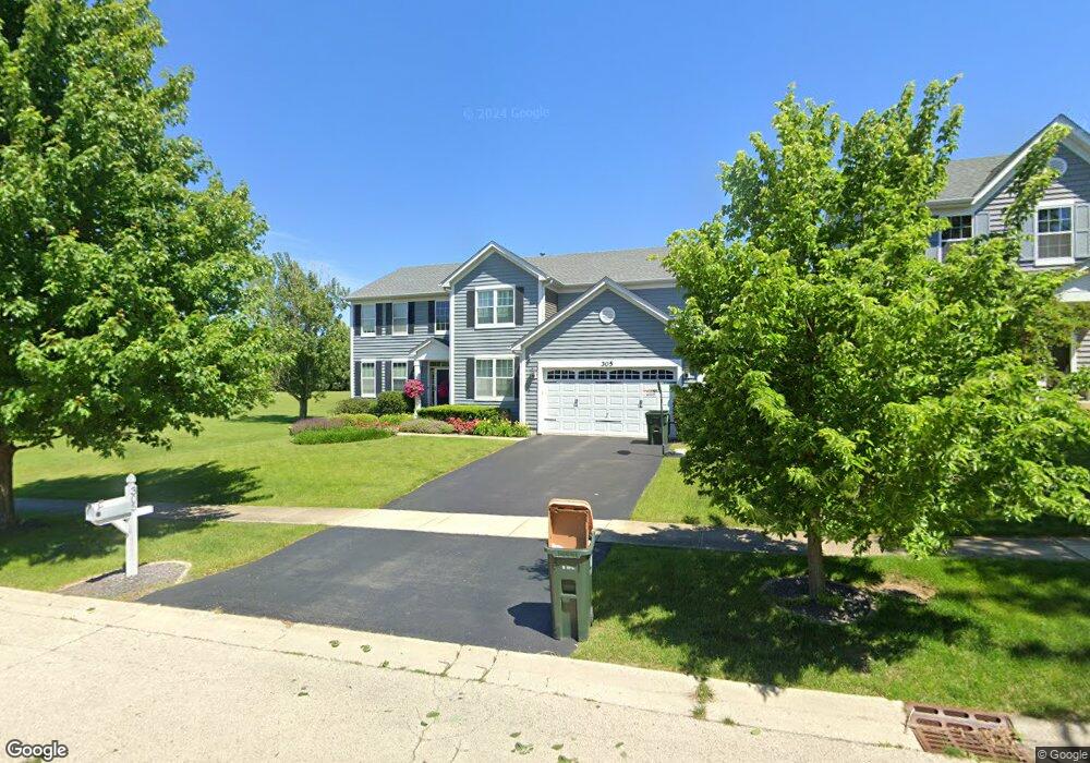
305 Furlong St Oswego, IL 60543
North Oswego NeighborhoodEstimated Value: $523,000 - $551,000
4
Beds
3
Baths
2,967
Sq Ft
$181/Sq Ft
Est. Value
About This Home
This home is located at 305 Furlong St, Oswego, IL 60543 and is currently estimated at $537,111, approximately $181 per square foot. 305 Furlong St is a home located in Kendall County with nearby schools including Churchill Elementary School, Plank Junior High School, and Oswego East High School.
Ownership History
Date
Name
Owned For
Owner Type
Purchase Details
Closed on
Jun 29, 2007
Sold by
Hovstone Properties Illinois Llc
Bought by
Evans Michael and Evans Gina
Current Estimated Value
Home Financials for this Owner
Home Financials are based on the most recent Mortgage that was taken out on this home.
Original Mortgage
$289,072
Outstanding Balance
$179,923
Interest Rate
6.42%
Mortgage Type
Purchase Money Mortgage
Estimated Equity
$357,188
Create a Home Valuation Report for This Property
The Home Valuation Report is an in-depth analysis detailing your home's value as well as a comparison with similar homes in the area
Home Values in the Area
Average Home Value in this Area
Purchase History
| Date | Buyer | Sale Price | Title Company |
|---|---|---|---|
| Evans Michael | $361,500 | Chicago Title Insurance Co |
Source: Public Records
Mortgage History
| Date | Status | Borrower | Loan Amount |
|---|---|---|---|
| Open | Evans Michael | $289,072 |
Source: Public Records
Tax History Compared to Growth
Tax History
| Year | Tax Paid | Tax Assessment Tax Assessment Total Assessment is a certain percentage of the fair market value that is determined by local assessors to be the total taxable value of land and additions on the property. | Land | Improvement |
|---|---|---|---|---|
| 2024 | $11,669 | $151,010 | $29,309 | $121,701 |
| 2023 | $10,628 | $134,831 | $26,169 | $108,662 |
| 2022 | $10,628 | $123,698 | $24,008 | $99,690 |
| 2021 | $10,255 | $115,605 | $22,437 | $93,168 |
| 2020 | $10,142 | $113,338 | $21,997 | $91,341 |
| 2019 | $10,007 | $110,249 | $21,997 | $88,252 |
| 2018 | $9,743 | $105,744 | $23,711 | $82,033 |
| 2017 | $9,516 | $98,826 | $22,160 | $76,666 |
| 2016 | $9,119 | $93,674 | $21,005 | $72,669 |
| 2015 | $9,219 | $90,507 | $20,295 | $70,212 |
| 2014 | -- | $85,384 | $19,146 | $66,238 |
| 2013 | -- | $85,856 | $19,252 | $66,604 |
Source: Public Records
Map
Nearby Homes
- 700 N Sparkle Ct
- 524 Majestic Ln
- 790 Bohannon Cir
- 786 Bohannon Cir
- 712 Bohannon Cir
- 22 Alex Ct Unit 1
- 104 Waterbury Cir
- BELLAMY Plan at Sonoma Trails - Single Family Homes
- Bradley Plan at Sonoma Trails - Single Family Homes
- Haven Plan at Sonoma Trails - Single Family Homes
- HENLEY Plan at Sonoma Trails - Single Family Homes
- EMERSON Plan at Sonoma Trails - Single Family Homes
- Sloan Plan at Sonoma Trails - Single Family Homes
- COVENTRY Plan at Sonoma Trails - Single Family Homes
- 2459 Scribe St
- 1468 Vintage Dr
- 1459 Vintage Dr
- 2327 Hirsch Rd
- 2130 Bodega Rd
- 2132 Bodega Rd
- 303 Furlong St
- 301 Furlong St
- 225 Loradale Rd
- 304 Furlong St
- 302 Furlong St
- 306 Furlong St
- 223 Loradale Rd
- 300 Furlong St
- 221 Loradale Rd
- 310 Furlong St
- 228 Loradale Rd
- 226 Loradale Rd
- 219 Loradale Rd
- 232 Loradale Rd
- 224 Loradale Rd
- 442 Bluegrass Pkwy
- 222 Loradale Rd
- 234 Loradale Rd
- 217 Loradale Rd
- 440 Bluegrass Pkwy