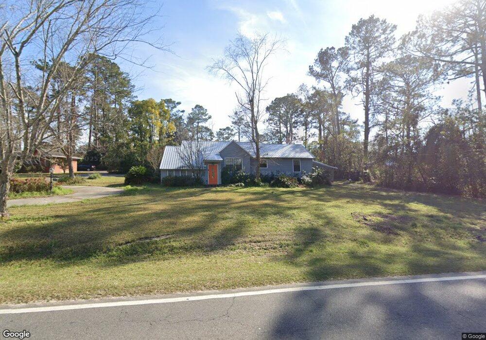
305 Gornto Rd Valdosta, GA 31602
Estimated Value: $214,855 - $306,000
--
Bed
2
Baths
1,715
Sq Ft
$142/Sq Ft
Est. Value
About This Home
This home is located at 305 Gornto Rd, Valdosta, GA 31602 and is currently estimated at $242,714, approximately $141 per square foot. 305 Gornto Rd is a home located in Lowndes County with nearby schools including S.L. Mason Elementary School, Valdosta Middle School, and Valdosta High School.
Ownership History
Date
Name
Owned For
Owner Type
Purchase Details
Closed on
Aug 18, 2021
Sold by
Building Valdosta Llc
Bought by
Tiedt Roman and Tiedt Summer
Current Estimated Value
Purchase Details
Closed on
Apr 9, 2021
Sold by
Northside Property Development Llc
Bought by
Building Valdosta Llc
Purchase Details
Closed on
Apr 3, 1973
Bought by
Rawlins Roy Neil and Rawlins Mary
Purchase Details
Closed on
Jul 31, 1972
Bought by
Evans Robert W
Purchase Details
Closed on
Nov 4, 1971
Bought by
Mitchell Mary E
Purchase Details
Closed on
Sep 2, 1970
Bought by
Unger Anne T
Create a Home Valuation Report for This Property
The Home Valuation Report is an in-depth analysis detailing your home's value as well as a comparison with similar homes in the area
Home Values in the Area
Average Home Value in this Area
Purchase History
| Date | Buyer | Sale Price | Title Company |
|---|---|---|---|
| Tiedt Roman | $235,900 | -- | |
| Building Valdosta Llc | $32,000 | -- | |
| Rawlins Roy Neil | $2,800 | -- | |
| Evans Robert W | $20,000 | -- | |
| Mitchell Mary E | $6,100 | -- | |
| Unger Anne T | $18,000 | -- |
Source: Public Records
Tax History Compared to Growth
Tax History
| Year | Tax Paid | Tax Assessment Tax Assessment Total Assessment is a certain percentage of the fair market value that is determined by local assessors to be the total taxable value of land and additions on the property. | Land | Improvement |
|---|---|---|---|---|
| 2024 | $1,675 | $69,985 | $13,632 | $56,353 |
| 2023 | $1,675 | $66,167 | $13,632 | $52,535 |
| 2022 | $1,386 | $51,024 | $13,632 | $37,392 |
| 2021 | $1,426 | $51,024 | $13,632 | $37,392 |
| 2020 | $1,457 | $51,024 | $13,632 | $37,392 |
| 2019 | $1,456 | $51,024 | $13,632 | $37,392 |
| 2018 | $1,642 | $55,664 | $9,088 | $46,576 |
| 2017 | $1,653 | $55,664 | $9,088 | $46,576 |
| 2016 | $1,651 | $55,664 | $9,088 | $46,576 |
| 2015 | $1,209 | $46,481 | $9,088 | $37,392 |
| 2014 | $1,227 | $46,481 | $9,088 | $37,392 |
Source: Public Records
Map
Nearby Homes
- 2208 N Oak St
- 2503 N Oak St
- 309 W Park Ave
- 209 W Park Ave
- 315 Canna Dr
- 333 Canna Dr
- 2112 Azalea Dr
- 1909 Azalea Dr
- 2005 N Patterson St
- 604 Azalea Cir
- 300 Georgia Ave
- 410 Georgetown Cir
- 1807 N Patterson St
- 206 E Cranford Ave
- 422 Georgetown Cir
- 1614 N Patterson St
- 805 Millpond Rd
- 304 E Cranford Ave Unit N/a
- 2908 Fawnwood Cir
- 321 E Park Ave