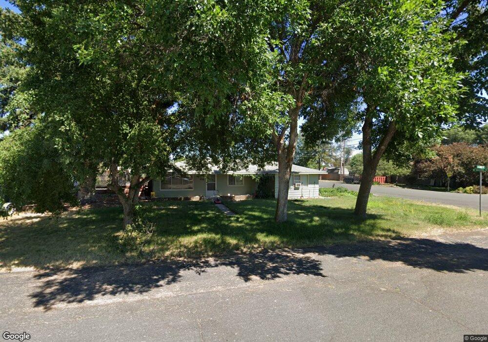
305 Grant Merrill, OR 97633
Estimated Value: $273,599 - $314,000
3
Beds
1
Bath
1,314
Sq Ft
$224/Sq Ft
Est. Value
About This Home
This home is located at 305 Grant, Merrill, OR 97633 and is currently estimated at $293,800, approximately $223 per square foot. 305 Grant is a home located in Klamath County with nearby schools including Merrill Elementary School and Lost River High School.
Ownership History
Date
Name
Owned For
Owner Type
Purchase Details
Closed on
Jun 11, 2015
Sold by
Woodhouse Thomas J and Woodhouse Vonda Denise
Bought by
Woodhouse James
Current Estimated Value
Home Financials for this Owner
Home Financials are based on the most recent Mortgage that was taken out on this home.
Original Mortgage
$91,200
Interest Rate
3.81%
Mortgage Type
New Conventional
Purchase Details
Closed on
Apr 17, 2009
Sold by
Herring Earl K and Herring Tuesday S
Bought by
Woodhouse Thomas J and Woodhouse Denise
Home Financials for this Owner
Home Financials are based on the most recent Mortgage that was taken out on this home.
Original Mortgage
$100,000
Interest Rate
5.17%
Mortgage Type
Purchase Money Mortgage
Create a Home Valuation Report for This Property
The Home Valuation Report is an in-depth analysis detailing your home's value as well as a comparison with similar homes in the area
Purchase History
| Date | Buyer | Sale Price | Title Company |
|---|---|---|---|
| Woodhouse James | $114,000 | Amerititle | |
| Woodhouse Thomas J | $125,000 | Amerititle |
Source: Public Records
Mortgage History
| Date | Status | Borrower | Loan Amount |
|---|---|---|---|
| Previous Owner | Woodhouse James | $91,200 | |
| Previous Owner | Woodhouse Thomas J | $100,000 |
Source: Public Records
Tax History
| Year | Tax Paid | Tax Assessment Tax Assessment Total Assessment is a certain percentage of the fair market value that is determined by local assessors to be the total taxable value of land and additions on the property. | Land | Improvement |
|---|---|---|---|---|
| 2025 | $1,664 | $131,780 | -- | -- |
| 2024 | $1,619 | $127,950 | -- | -- |
| 2023 | $1,621 | $127,950 | $0 | $0 |
| 2022 | $1,577 | $120,620 | $0 | $0 |
| 2021 | $1,527 | $117,110 | $0 | $0 |
| 2020 | $1,480 | $113,700 | $0 | $0 |
| 2019 | $1,440 | $110,390 | $0 | $0 |
| 2018 | $1,345 | $107,180 | $0 | $0 |
| 2017 | $1,309 | $104,060 | $0 | $0 |
| 2016 | $1,031 | $101,030 | $0 | $0 |
| 2015 | $1,289 | $98,090 | $0 | $0 |
| 2014 | $1,237 | $95,240 | $0 | $0 |
| 2013 | -- | $92,470 | $0 | $0 |
Source: Public Records
Map
Nearby Homes
- 425 W 1st St
- 192 W Court Dr
- 0 Oregon 39 Unit 4110-00200-01100
- 22122 Oregon 39
- 0 Oregon 39 Unit 220168688
- 217 N Washington St
- 332 N Madison St
- 330 N Elm St
- 18610 Taylor Rd
- 0 Dodds Hollow Rd Unit 895073 220200218
- 17356 Hill Rd
- Unnamed Rd
- 4650 Lower Klamath Lake Rd
- 4000 Lower Klamath Lake Rd
- 7992 Elliott Rd
- 13779 Matney Rd
- 17465 Harpold Rd
- 563 4th St
- 20954 S Poe Valley Rd
- 7531 Roberta Dr
Your Personal Tour Guide
Ask me questions while you tour the home.