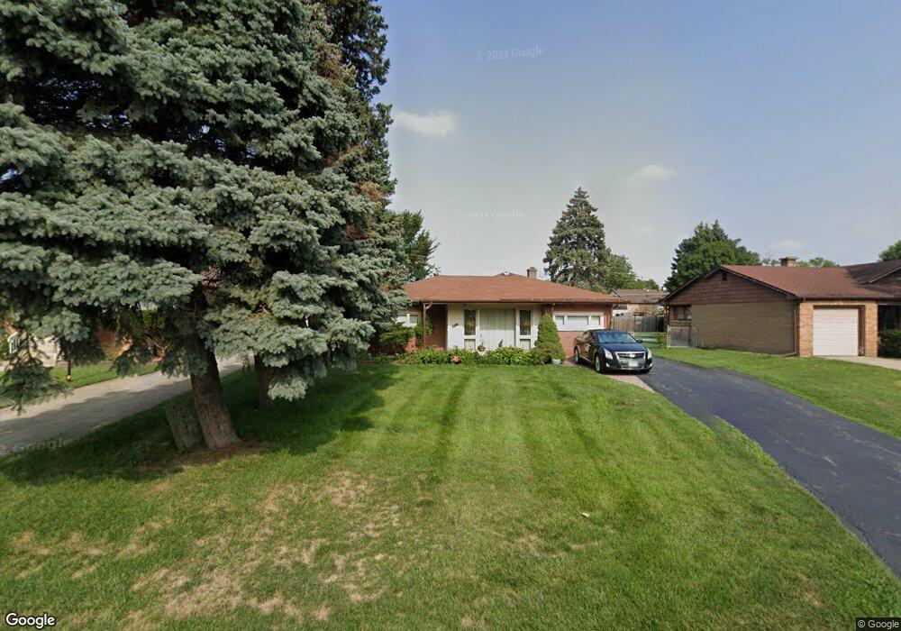
305 High Ridge Rd Hillside, IL 60162
Estimated Value: $298,582 - $343,000
3
Beds
2
Baths
1,606
Sq Ft
$198/Sq Ft
Est. Value
About This Home
This home is located at 305 High Ridge Rd, Hillside, IL 60162 and is currently estimated at $318,146, approximately $198 per square foot. 305 High Ridge Rd is a home located in Cook County with nearby schools including Hillside Elementary School and Proviso West High School.
Ownership History
Date
Name
Owned For
Owner Type
Purchase Details
Closed on
Oct 8, 1993
Sold by
Braber Lawrence W and Braber Donna Jean
Bought by
Cleveland Stephen and Cleveland Bettie
Current Estimated Value
Home Financials for this Owner
Home Financials are based on the most recent Mortgage that was taken out on this home.
Original Mortgage
$112,373
Interest Rate
7%
Mortgage Type
FHA
Create a Home Valuation Report for This Property
The Home Valuation Report is an in-depth analysis detailing your home's value as well as a comparison with similar homes in the area
Home Values in the Area
Average Home Value in this Area
Purchase History
| Date | Buyer | Sale Price | Title Company |
|---|---|---|---|
| Cleveland Stephen | $78,333 | -- |
Source: Public Records
Mortgage History
| Date | Status | Borrower | Loan Amount |
|---|---|---|---|
| Closed | Cleveland Stephen | $112,373 |
Source: Public Records
Tax History
| Year | Tax Paid | Tax Assessment Tax Assessment Total Assessment is a certain percentage of the fair market value that is determined by local assessors to be the total taxable value of land and additions on the property. | Land | Improvement |
|---|---|---|---|---|
| 2025 | $7,052 | $23,001 | $3,933 | $19,068 |
| 2024 | $7,052 | $23,001 | $3,933 | $19,068 |
| 2023 | $6,048 | $23,001 | $3,933 | $19,068 |
| 2022 | $6,048 | $18,751 | $2,681 | $16,070 |
| 2021 | $5,955 | $18,751 | $2,681 | $16,070 |
| 2020 | $5,872 | $18,751 | $2,681 | $16,070 |
| 2019 | $5,842 | $17,997 | $2,502 | $15,495 |
| 2018 | $5,674 | $17,997 | $2,502 | $15,495 |
| 2017 | $5,474 | $17,997 | $2,502 | $15,495 |
| 2016 | $5,077 | $15,772 | $2,323 | $13,449 |
| 2015 | $4,866 | $15,772 | $2,323 | $13,449 |
| 2014 | $4,763 | $15,772 | $2,323 | $13,449 |
| 2013 | $5,045 | $17,925 | $2,323 | $15,602 |
Source: Public Records
Map
Nearby Homes
- 311 Buckthorn Ln
- 500 N Laverne Ave
- 326 N Forest Ave
- 70 N Laverne Ave
- 605 N Wolf Rd Unit B9
- 226 N Lind Ave
- 4353 Butterfield Rd
- 250 N Irving Ave
- 512 50th Ave
- 504 N Irving Ave
- 768 N Rohde Ave
- 540 47th Ave
- 4904 W Hawthorne Ave
- 4938 W Randolph St
- 4929 W Randolph St
- 1529 N Hillside Ave
- 429 Geneva Ave
- 1426 N Rohde Ave
- 443 Granville Ave
- 2050 Atwood Ave
- 309 High Ridge Rd
- 249 High Ridge Rd
- 313 High Ridge Rd
- 245 High Ridge Rd
- 306 Clayton Ave
- 310 Clayton Ave
- 302 Clayton Ave
- 241 High Ridge Rd
- 314 Clayton Ave
- 254 Clayton Ave
- 304 High Ridge Rd
- 308 High Ridge Rd
- 318 Clayton Ave
- 250 High Ridge Rd
- 321 High Ridge Rd
- 250 Clayton Ave
- 312 High Ridge Rd
- 237 High Ridge Rd
- 246 High Ridge Rd
Your Personal Tour Guide
Ask me questions while you tour the home.