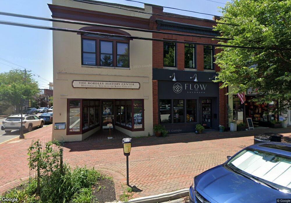
305 High St Chestertown, MD 21620
--
Bed
1
Bath
4,020
Sq Ft
1,307
Sq Ft Lot
About This Home
This home is located at 305 High St, Chestertown, MD 21620. 305 High St is a home located in Kent County with nearby schools including Kent County Middle School, Kent County High School, and Chestertown Christian Academy.
Ownership History
Date
Name
Owned For
Owner Type
Purchase Details
Closed on
Sep 28, 2016
Sold by
Owings Marshall Dorsey and Owings Jaye Alexis
Bought by
East Fork Properties Llc
Home Financials for this Owner
Home Financials are based on the most recent Mortgage that was taken out on this home.
Original Mortgage
$260,000
Outstanding Balance
$208,439
Interest Rate
3.46%
Mortgage Type
Future Advance Clause Open End Mortgage
Purchase Details
Closed on
Feb 24, 2014
Sold by
East Fork Properties Llc
Bought by
Owings Marshall Dorsey and Owings Jaye Alexis
Purchase Details
Closed on
Apr 9, 2012
Sold by
Cnb
Bought by
East Fork Properties Llc
Home Financials for this Owner
Home Financials are based on the most recent Mortgage that was taken out on this home.
Original Mortgage
$285,000
Interest Rate
3.89%
Mortgage Type
Commercial
Purchase Details
Closed on
Mar 31, 1997
Sold by
Kent Savings & Loan Association
Bought by
Centreville National Bank Of Md
Purchase Details
Closed on
Mar 27, 1978
Sold by
Callahan Lawrence
Bought by
Kent Savings & Loan Association
Create a Home Valuation Report for This Property
The Home Valuation Report is an in-depth analysis detailing your home's value as well as a comparison with similar homes in the area
Home Values in the Area
Average Home Value in this Area
Purchase History
| Date | Buyer | Sale Price | Title Company |
|---|---|---|---|
| East Fork Properties Llc | -- | Attorney | |
| Owings Marshall Dorsey | -- | None Available | |
| East Fork Properties Llc | $325,000 | None Available | |
| Centreville National Bank Of Md | -- | -- | |
| Kent Savings & Loan Association | $41,500 | -- |
Source: Public Records
Mortgage History
| Date | Status | Borrower | Loan Amount |
|---|---|---|---|
| Open | East Fork Properties Llc | $260,000 | |
| Previous Owner | East Fork Properties Llc | $285,000 |
Source: Public Records
Tax History Compared to Growth
Tax History
| Year | Tax Paid | Tax Assessment Tax Assessment Total Assessment is a certain percentage of the fair market value that is determined by local assessors to be the total taxable value of land and additions on the property. | Land | Improvement |
|---|---|---|---|---|
| 2025 | $5,232 | $333,833 | $0 | $0 |
| 2024 | $5,174 | $330,167 | $0 | $0 |
| 2023 | $5,084 | $326,500 | $165,600 | $160,900 |
| 2022 | $5,084 | $326,500 | $165,600 | $160,900 |
| 2021 | $5,159 | $326,500 | $165,600 | $160,900 |
| 2020 | $5,159 | $329,200 | $165,600 | $163,600 |
| 2019 | $5,116 | $329,200 | $165,600 | $163,600 |
| 2018 | $5,116 | $329,200 | $165,600 | $163,600 |
| 2017 | $5,068 | $337,000 | $0 | $0 |
| 2016 | -- | $333,000 | $0 | $0 |
| 2015 | -- | $329,000 | $0 | $0 |
| 2014 | $6,699 | $325,000 | $0 | $0 |
Source: Public Records
Map
Nearby Homes
- 206 Cannon St
- 349 & 351 High St
- 349 High St
- 119 High St
- 110 S Mill St
- 105 High St
- 206 S Water St
- 117 N Water St Unit 1A
- 117 N Water St Unit 2A
- 226 S Water St
- 201 Radcliffe Dr
- 108 S Kent St
- 517 High St
- 200 Washington Ave
- 234 N College Ave
- 423 Calvert St
- 624 High St
- 515 N Kent St
- 141 Prospect St
- 221 Richard Dr
- 305 High St Unit A
- 301 High St
- 104 S Cross St
- 311 High St
- 309 High St
- 106 S Cross St
- 112 S Cross St Unit D
- 112 S Cross St Unit C
- 112 S Cross St Unit B
- 112 S Cross St Unit E
- 112 S Cross St Unit A
- 108 S Cross St
- 315 High St Unit 104
- 315 High St Unit 105
- 315 High St Unit 106
- 315 High St
- 114 S Cross St
- 110 N Cross St
- 107 S Cross St
- 321 High St Unit 1