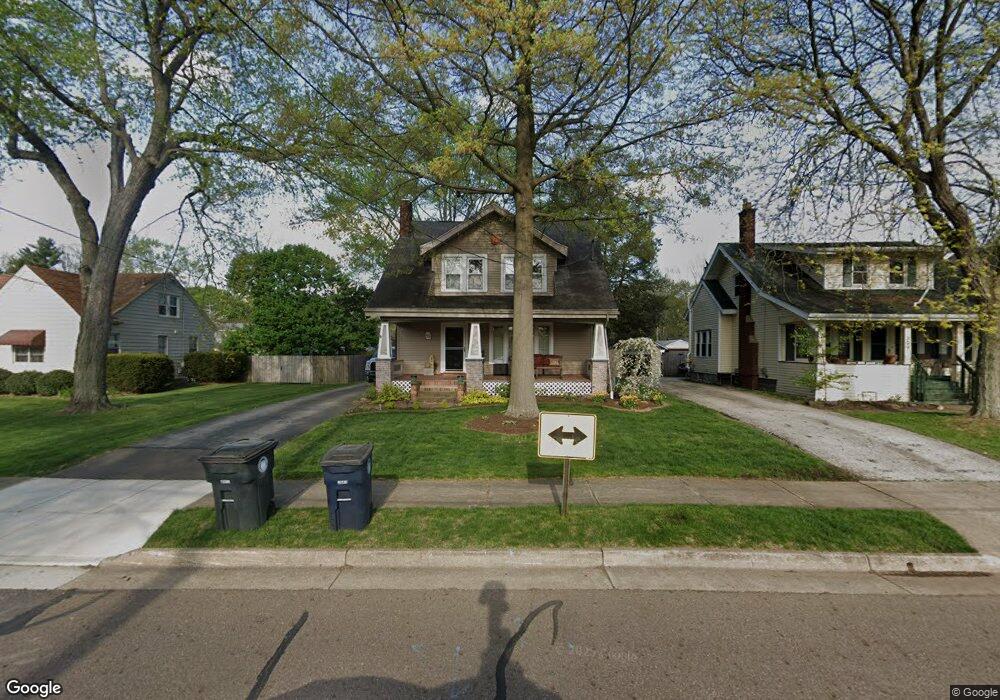
305 Hoover Ave Akron, OH 44312
Ellet NeighborhoodEstimated Value: $198,000 - $233,000
3
Beds
2
Baths
2,017
Sq Ft
$108/Sq Ft
Est. Value
About This Home
This home is located at 305 Hoover Ave, Akron, OH 44312 and is currently estimated at $217,094, approximately $107 per square foot. 305 Hoover Ave is a home located in Summit County with nearby schools including Ellet High School, Summit Academy Akron Elementary School, and Akron Preparatory school.
Ownership History
Date
Name
Owned For
Owner Type
Purchase Details
Closed on
Nov 25, 1998
Sold by
Gaug Timothy J and Gaug Mancino Gaug Kay
Bought by
Wytryzyszczewski Michael D and Wytrzyszyczewski Heather L
Current Estimated Value
Home Financials for this Owner
Home Financials are based on the most recent Mortgage that was taken out on this home.
Original Mortgage
$93,200
Interest Rate
6.8%
Create a Home Valuation Report for This Property
The Home Valuation Report is an in-depth analysis detailing your home's value as well as a comparison with similar homes in the area
Home Values in the Area
Average Home Value in this Area
Purchase History
| Date | Buyer | Sale Price | Title Company |
|---|---|---|---|
| Wytryzyszczewski Michael D | $116,500 | -- |
Source: Public Records
Mortgage History
| Date | Status | Borrower | Loan Amount |
|---|---|---|---|
| Closed | Wytryzyszczewski Michael D | $93,200 |
Source: Public Records
Tax History
| Year | Tax Paid | Tax Assessment Tax Assessment Total Assessment is a certain percentage of the fair market value that is determined by local assessors to be the total taxable value of land and additions on the property. | Land | Improvement |
|---|---|---|---|---|
| 2024 | $3,323 | $61,685 | $14,046 | $47,639 |
| 2023 | $3,323 | $61,685 | $14,046 | $47,639 |
| 2022 | $2,758 | $40,044 | $9,062 | $30,982 |
| 2021 | $2,760 | $40,044 | $9,062 | $30,982 |
| 2020 | $2,719 | $40,040 | $9,060 | $30,980 |
| 2019 | $2,262 | $30,070 | $8,160 | $21,910 |
| 2018 | $2,232 | $30,070 | $8,160 | $21,910 |
| 2017 | $2,268 | $30,070 | $8,160 | $21,910 |
| 2016 | $2,270 | $30,070 | $8,160 | $21,910 |
| 2015 | $2,268 | $30,070 | $8,160 | $21,910 |
| 2014 | $2,250 | $30,070 | $8,160 | $21,910 |
| 2013 | $2,338 | $31,970 | $8,160 | $23,810 |
Source: Public Records
Map
Nearby Homes
- 228 Hawk Ave
- 2331 E Market St
- 282 Schrop Ave
- 187 Highpoint Ave
- 2579 Robindale Ave
- 465 Canton Rd Unit 11C
- 260 Prairie Dr
- 84 Pfeiffer Ave
- 147 Woolf Ave
- 114 Davenport Ave
- 124 Davenport Ave
- 42 Woolf Ave
- 26 Ansel Ave
- 2511 Ogden Ave
- 2138 Forest Oak Dr
- 2269 Emerald Dr
- 640 Plainfield Rd
- 210 Davenport Ave
- 2382 Mogadore Rd
- 404 Wirth Ave
- 309 Hoover Ave
- 315 Hoover Ave
- 297 Hoover Ave
- 304 Rea Ave
- 321 Hoover Ave
- 310 Rea Ave
- 2420 E Market St
- 2420 E Market St Unit 2
- 2420 E Market St Unit 1
- 2416 E Market St Unit 2418
- 2410 E Market St
- 316 Hoover Ave
- 280 Rea Ave Unit 282
- 327 Hoover Ave
- 280 282 Rea Ave
- 316 Rea Ave
- 300 Hoover Ave
- 320 Hoover Ave
- 296 Hoover Ave
- 282 Hoover Ave Unit 284
Your Personal Tour Guide
Ask me questions while you tour the home.