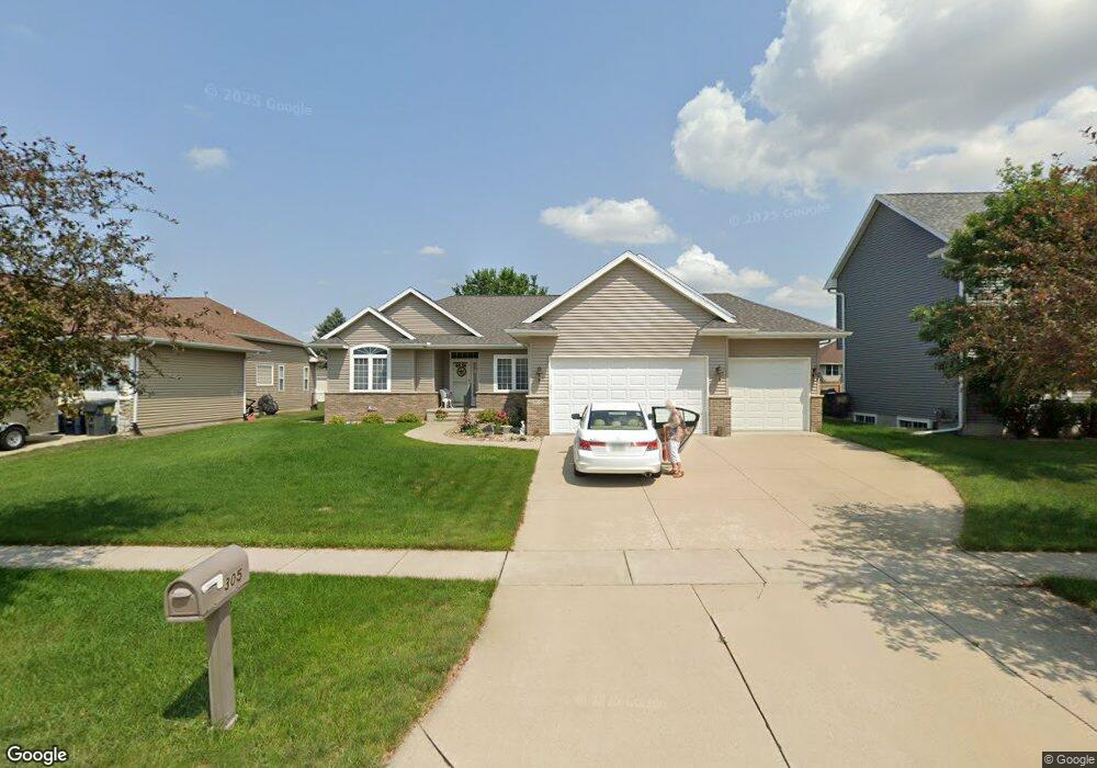
305 N 16th Ave Hiawatha, IA 52233
Estimated Value: $328,000 - $396,000
4
Beds
4
Baths
1,800
Sq Ft
$201/Sq Ft
Est. Value
About This Home
This home is located at 305 N 16th Ave, Hiawatha, IA 52233 and is currently estimated at $361,249, approximately $200 per square foot. 305 N 16th Ave is a home located in Linn County with nearby schools including T.C. Cherry Elementary School, Hiawatha Elementary School, and Ponderosa Elementary School.
Ownership History
Date
Name
Owned For
Owner Type
Purchase Details
Closed on
Oct 30, 2003
Sold by
Peterson Investments Ltd
Bought by
Seifried Jerome F and Seifried Mary J
Current Estimated Value
Purchase Details
Closed on
May 12, 2003
Sold by
Primahne Associates Llp
Bought by
Peterson Investments Ltd
Home Financials for this Owner
Home Financials are based on the most recent Mortgage that was taken out on this home.
Original Mortgage
$189,600
Interest Rate
5.71%
Mortgage Type
Construction
Create a Home Valuation Report for This Property
The Home Valuation Report is an in-depth analysis detailing your home's value as well as a comparison with similar homes in the area
Home Values in the Area
Average Home Value in this Area
Purchase History
| Date | Buyer | Sale Price | Title Company |
|---|---|---|---|
| Seifried Jerome F | $234,500 | -- | |
| Peterson Investments Ltd | $29,500 | -- |
Source: Public Records
Mortgage History
| Date | Status | Borrower | Loan Amount |
|---|---|---|---|
| Previous Owner | Peterson Investments Ltd | $189,600 |
Source: Public Records
Tax History Compared to Growth
Tax History
| Year | Tax Paid | Tax Assessment Tax Assessment Total Assessment is a certain percentage of the fair market value that is determined by local assessors to be the total taxable value of land and additions on the property. | Land | Improvement |
|---|---|---|---|---|
| 2025 | $5,392 | $375,600 | $40,100 | $335,500 |
| 2024 | $5,710 | $354,400 | $40,100 | $314,300 |
| 2023 | $5,710 | $345,500 | $40,100 | $305,400 |
| 2022 | $5,638 | $290,500 | $40,100 | $250,400 |
| 2021 | $6,084 | $290,500 | $40,100 | $250,400 |
| 2020 | $6,084 | $292,500 | $40,100 | $252,400 |
| 2019 | $5,478 | $265,400 | $36,100 | $229,300 |
| 2018 | $5,378 | $265,400 | $36,100 | $229,300 |
| 2017 | $5,484 | $259,100 | $36,100 | $223,000 |
| 2016 | $5,532 | $259,100 | $36,100 | $223,000 |
| 2015 | $5,546 | $259,100 | $36,100 | $223,000 |
| 2014 | $5,360 | $259,100 | $36,100 | $223,000 |
| 2013 | $5,214 | $259,100 | $36,100 | $223,000 |
Source: Public Records
Map
Nearby Homes
- 2596 Anne Ln
- 1364 Cress Pkwy
- 1213 Raney St
- 1213 Bowler St
- 225 Ridgewood Dr
- 2255 Blairsferry Crossing
- Lot 1A Buffalo Ridge Dr NE
- 3620 Western Pine Dr NE
- 306 10th Ave
- 2420 Heritage Green Dr
- 4620 Prairie Stone Dr NE
- 4408 Prairie Stone Dr NE
- 4510 Prairie Stone Dr NE
- Lot 11 Cross Pointe Blvd NE
- Lot 12 Cross Pointe Blvd NE
- 3719 Blue Mound Dr NE
- 4301 Viola St NE
- 1011 Kacena Rd
- 3 N Center Point Rd
- 1 N Center Point Rd
- 325 N 16th Ave
- 295 N 16th Ave
- 2893 Meadow Ct
- 2836 Prairie Wind Ct
- 2826 Mary Dr
- 2825 Mary Dr
- 2845 Prairielight Dr
- 2841 Prairielight Dr
- 2833 Prairielight Dr
- 2476 Chloe Ln
- 2474 Chloe Ln
- 2472 Chloe Ln
- 2821 Mary Dr
- 2833 Mary Dr
- 2837 Mary Dr
- 2838 Mary Dr
- 2485 Chloe Ln
- 2483 Chloe Ln
- 2487 Chloe Ln
- 2778 Anne Dr