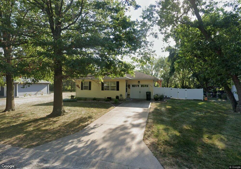
305 N Main St Archie, MO 64725
Estimated Value: $182,000 - $209,000
2
Beds
2
Baths
884
Sq Ft
$219/Sq Ft
Est. Value
About This Home
This home is located at 305 N Main St, Archie, MO 64725 and is currently estimated at $193,543, approximately $218 per square foot. 305 N Main St is a home located in Cass County with nearby schools including Archie Elementary School and Archie High School.
Ownership History
Date
Name
Owned For
Owner Type
Purchase Details
Closed on
Jul 14, 2025
Sold by
Mills David C
Bought by
Mills Virginia A
Current Estimated Value
Purchase Details
Closed on
Jul 19, 2010
Sold by
Mills Virginia A and Mills David C
Bought by
Mills Virginia A and Mills David C
Home Financials for this Owner
Home Financials are based on the most recent Mortgage that was taken out on this home.
Original Mortgage
$71,200
Interest Rate
4.73%
Mortgage Type
New Conventional
Create a Home Valuation Report for This Property
The Home Valuation Report is an in-depth analysis detailing your home's value as well as a comparison with similar homes in the area
Home Values in the Area
Average Home Value in this Area
Purchase History
| Date | Buyer | Sale Price | Title Company |
|---|---|---|---|
| Mills Virginia A | -- | None Listed On Document | |
| Mills Virginia A | -- | None Listed On Document | |
| Mills Virginia A | -- | -- |
Source: Public Records
Mortgage History
| Date | Status | Borrower | Loan Amount |
|---|---|---|---|
| Previous Owner | Mills Virginia A | $71,200 |
Source: Public Records
Tax History Compared to Growth
Tax History
| Year | Tax Paid | Tax Assessment Tax Assessment Total Assessment is a certain percentage of the fair market value that is determined by local assessors to be the total taxable value of land and additions on the property. | Land | Improvement |
|---|---|---|---|---|
| 2024 | $1,177 | $16,830 | $1,980 | $14,850 |
| 2023 | $1,173 | $16,830 | $1,980 | $14,850 |
| 2022 | $1,067 | $14,780 | $1,980 | $12,800 |
| 2021 | $1,023 | $14,780 | $1,980 | $12,800 |
| 2020 | $994 | $14,190 | $1,980 | $12,210 |
| 2019 | $939 | $14,190 | $1,980 | $12,210 |
| 2018 | $865 | $12,550 | $1,590 | $10,960 |
| 2017 | $785 | $12,550 | $1,590 | $10,960 |
| 2016 | $785 | $11,970 | $1,590 | $10,380 |
| 2015 | $778 | $11,970 | $1,590 | $10,380 |
| 2014 | $754 | $11,610 | $1,590 | $10,020 |
| 2013 | -- | $11,610 | $1,590 | $10,020 |
Source: Public Records
Map
Nearby Homes
- 300 E Maple St
- 406 N Missouri St
- 207 Blackberry Cir
- 204 N Missouri St
- 101 N Main St
- 205 N Wilson St
- 503 W State Route A
- 302 S Truman Rd
- 306 S Texas St
- 403 E Chestnut St
- 306 S Iowa St
- 307 S Wilson St
- 500 S Wilson St
- 517 S Truman Rd
- Tract 5 E State Route B
- 0 E State Route B Hwy Unit HMS2557239
- 19707 E State Route A N A
- 34918 S Sliffe Rd
- 0 S Sliffe Rd Unit HMS2574282
- Lot 5 NW County 1501 Rd
- 303 N Main St
- 401 N Main St
- 306 N Main St
- 102 W Locust St
- 301 N Main St
- 304 N Main St
- 103 W Locust St
- 403 N Missouri St
- 104 W Oak St
- 213 N Main St
- 405 N Missouri St
- 302 W Maple St
- 302 W Maple St
- 306 N Missouri St
- 212 N Main St
- 404 N Missouri St
- 202 W Oak St
- 210 N Main St
- 203 W Locust St
- 204 W Locust St