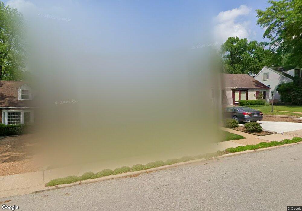
305 Newport Ave Saint Louis, MO 63119
Estimated Value: $295,853 - $364,000
2
Beds
1
Bath
1,064
Sq Ft
$299/Sq Ft
Est. Value
About This Home
This home is located at 305 Newport Ave, Saint Louis, MO 63119 and is currently estimated at $318,213, approximately $299 per square foot. 305 Newport Ave is a home located in St. Louis County with nearby schools including Avery Elementary School, Hixson Middle School, and Webster Groves High School.
Ownership History
Date
Name
Owned For
Owner Type
Purchase Details
Closed on
Jun 4, 2021
Sold by
Lorino Katherine M and Lorino Katherine M
Bought by
Lorino Donald J and Lorino Katherine M
Current Estimated Value
Purchase Details
Closed on
Sep 16, 1999
Sold by
Lorino Donald J and Lorino Katherine M
Bought by
Lorino Katherine M and Katherine M Lorino Revocable Trust
Create a Home Valuation Report for This Property
The Home Valuation Report is an in-depth analysis detailing your home's value as well as a comparison with similar homes in the area
Home Values in the Area
Average Home Value in this Area
Purchase History
| Date | Buyer | Sale Price | Title Company |
|---|---|---|---|
| Lorino Donald J | -- | None Available | |
| Lorino Katherine M | -- | -- |
Source: Public Records
Tax History Compared to Growth
Tax History
| Year | Tax Paid | Tax Assessment Tax Assessment Total Assessment is a certain percentage of the fair market value that is determined by local assessors to be the total taxable value of land and additions on the property. | Land | Improvement |
|---|---|---|---|---|
| 2025 | $3,640 | $59,720 | $54,380 | $5,340 |
| 2024 | $3,640 | $52,080 | $39,560 | $12,520 |
| 2023 | $3,622 | $52,080 | $39,560 | $12,520 |
| 2022 | $3,609 | $48,190 | $39,560 | $8,630 |
| 2021 | $3,597 | $48,190 | $39,560 | $8,630 |
| 2020 | $3,681 | $45,960 | $38,530 | $7,430 |
| 2019 | $3,654 | $45,960 | $38,530 | $7,430 |
| 2018 | $3,666 | $40,950 | $27,060 | $13,890 |
| 2017 | $3,641 | $40,950 | $27,060 | $13,890 |
| 2016 | $3,494 | $37,620 | $23,240 | $14,380 |
| 2015 | $3,506 | $37,620 | $23,240 | $14,380 |
| 2014 | $3,164 | $33,010 | $20,030 | $12,980 |
Source: Public Records
Map
Nearby Homes
- 112 Oakwood Ave
- 546 Holland Ave
- 441 Park Rd
- 617 N Elm Ave
- 814 Holland Ave
- 610 Cornelia Ave
- 827 Cornell Ave
- 218 Euclid Ave
- 136 N Gore Ave
- 619 N Bompart Ave
- 901 Ennis Ave
- 1013 Bell Ave
- 400 Marion Ave
- 450 E Lockwood Ave Unit 303
- 330 Lithia Ave
- 716 Clark Ave
- 2911 Brazeau Ave
- 8908 W Pendleton Ave
- 2904 Collier Ave
- 544 Summit Ave
- 309 Newport Ave
- 301 Newport Ave
- 223 Newport Ave
- 313 Newport Ave
- 219 Newport Ave
- 300 Newport Ave
- 304 Newport Ave
- 308 Newport Ave
- 317 Newport Ave
- 312 Newport Ave
- 215 Newport Ave
- 321 Newport Ave
- 316 Newport Ave
- 417 Rosedale Place
- 320 Newport Ave
- 209 Newport Ave
- 325 Newport Ave
- 212 Newport Ave
- 301 Arbor Ln
- 324 Newport Ave