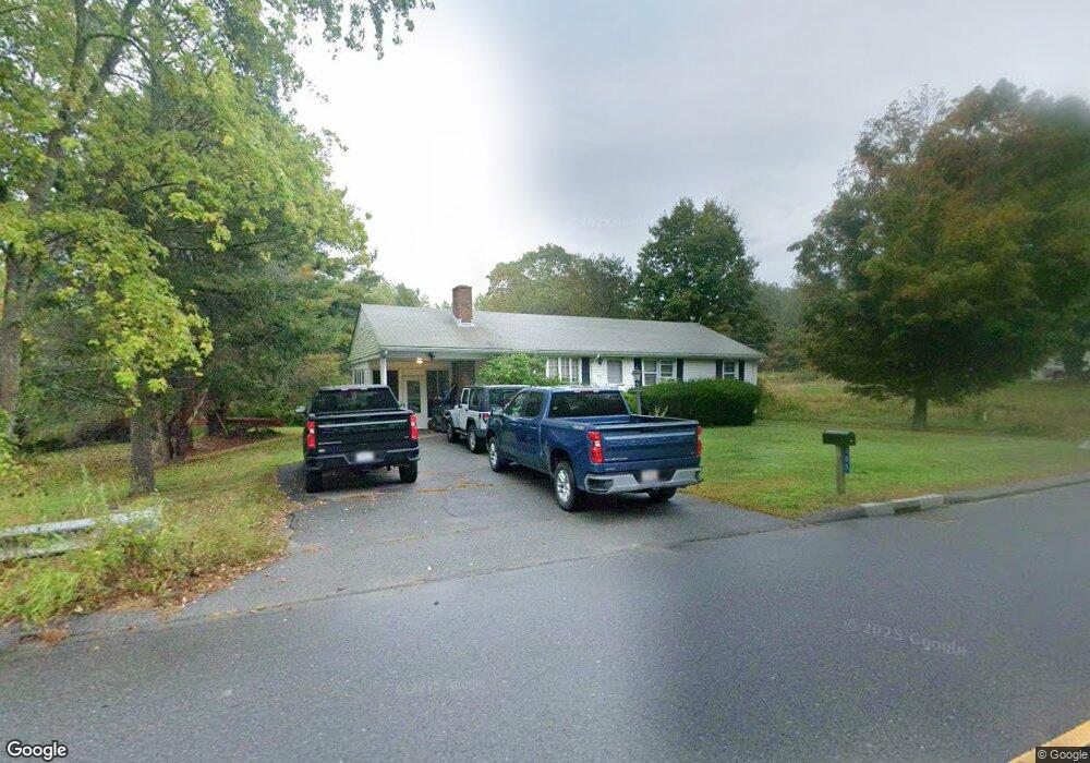
305 Norton Ave Taunton, MA 02780
Whittenton Junction NeighborhoodEstimated Value: $431,000 - $493,000
3
Beds
2
Baths
1,288
Sq Ft
$359/Sq Ft
Est. Value
About This Home
This home is located at 305 Norton Ave, Taunton, MA 02780 and is currently estimated at $461,750, approximately $358 per square foot. 305 Norton Ave is a home located in Bristol County with nearby schools including Benjamin Friedman Middle School, Joseph C. Chamberlain Elementary School, and Taunton High School.
Ownership History
Date
Name
Owned For
Owner Type
Purchase Details
Closed on
Jun 25, 2004
Sold by
Mulkerrins Morgan J
Bought by
Kelley Stephen J and Wyman Jamie L
Current Estimated Value
Home Financials for this Owner
Home Financials are based on the most recent Mortgage that was taken out on this home.
Original Mortgage
$216,000
Outstanding Balance
$108,616
Interest Rate
6.32%
Mortgage Type
Purchase Money Mortgage
Estimated Equity
$353,134
Purchase Details
Closed on
Dec 1, 1997
Sold by
Mcdonah Roderick
Bought by
Mulkerrins Morgan
Home Financials for this Owner
Home Financials are based on the most recent Mortgage that was taken out on this home.
Original Mortgage
$99,182
Interest Rate
7.26%
Mortgage Type
Purchase Money Mortgage
Create a Home Valuation Report for This Property
The Home Valuation Report is an in-depth analysis detailing your home's value as well as a comparison with similar homes in the area
Home Values in the Area
Average Home Value in this Area
Purchase History
| Date | Buyer | Sale Price | Title Company |
|---|---|---|---|
| Kelley Stephen J | $270,000 | -- | |
| Mulkerrins Morgan | $100,000 | -- |
Source: Public Records
Mortgage History
| Date | Status | Borrower | Loan Amount |
|---|---|---|---|
| Open | Kelley Stephen J | $216,000 | |
| Previous Owner | Mulkerrins Morgan | $12,000 | |
| Previous Owner | Mulkerrins Morgan | $99,182 |
Source: Public Records
Tax History Compared to Growth
Tax History
| Year | Tax Paid | Tax Assessment Tax Assessment Total Assessment is a certain percentage of the fair market value that is determined by local assessors to be the total taxable value of land and additions on the property. | Land | Improvement |
|---|---|---|---|---|
| 2025 | $4,173 | $381,400 | $132,400 | $249,000 |
| 2024 | $3,922 | $350,500 | $132,400 | $218,100 |
| 2023 | $3,939 | $326,900 | $138,400 | $188,500 |
| 2022 | $3,639 | $276,100 | $107,300 | $168,800 |
| 2021 | $3,462 | $243,800 | $97,600 | $146,200 |
| 2020 | $3,456 | $232,600 | $97,600 | $135,000 |
| 2019 | $3,510 | $222,700 | $97,600 | $125,100 |
| 2018 | $3,284 | $208,900 | $98,600 | $110,300 |
| 2017 | $3,156 | $200,900 | $93,400 | $107,500 |
| 2016 | $3,043 | $194,100 | $90,700 | $103,400 |
| 2015 | $2,994 | $199,500 | $88,800 | $110,700 |
| 2014 | $2,872 | $196,600 | $88,800 | $107,800 |
Source: Public Records
Map
Nearby Homes
- 2 Upland Rd
- 22 Southway
- 193 Fremont St
- 16 Hunter St Unit A
- 0 Norton Ave Unit 73445127
- 169 Powderhorn Dr
- 17 Davis St
- 79 Fremont St
- 8 N Walker St
- 20 Grand Ave
- 214 Eldridge St
- 383 Tremont St
- 750 Whittenton St Unit 523
- 110 Eldridge St Unit B
- 137 Tremont St
- 563 Whittenton St
- Lot 6 Tremont St
- 0 Whittenton St
- 108 Tremont St
- 99 Tremont St
- 325 Norton Ave
- 285 Norton Ave
- 280 Norton Ave
- 4 Willis Pond Rd
- 2 Willis Pond Rd
- 275 Norton Ave
- 345 Norton Ave
- 270 Norton Ave
- 265 Norton Ave
- 365 Norton Ave
- 70 Devon St
- 58 Devon St
- 255 Norton Ave
- 260 Norton Ave
- 82 Devon St
- 0 Lot 5 Twinbrook Ln Unit 50488226
- 21 Twin Brook Ln
- 375 Norton Ave
- 245 Norton Ave
- 46 Devon St