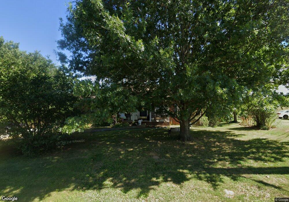
305 Rw Gordon Dr Springfield, TN 37172
Estimated Value: $247,332 - $317,000
--
Bed
2
Baths
1,326
Sq Ft
$215/Sq Ft
Est. Value
About This Home
This home is located at 305 Rw Gordon Dr, Springfield, TN 37172 and is currently estimated at $284,833, approximately $214 per square foot. 305 Rw Gordon Dr is a home located in Robertson County with nearby schools including Coopertown Elementary School, Coopertown Middle School, and Springfield High School.
Ownership History
Date
Name
Owned For
Owner Type
Purchase Details
Closed on
May 31, 2000
Bought by
Moorefield Jerry and Moorefield Debrn
Current Estimated Value
Purchase Details
Closed on
Mar 28, 2000
Bought by
Young David L and Young Patricia A
Purchase Details
Closed on
Feb 5, 1997
Bought by
Gibbons Frances P
Home Financials for this Owner
Home Financials are based on the most recent Mortgage that was taken out on this home.
Original Mortgage
$79,900
Interest Rate
7.88%
Purchase Details
Closed on
Jun 25, 1994
Bought by
Williams Delbert E and Williams Dorris J
Create a Home Valuation Report for This Property
The Home Valuation Report is an in-depth analysis detailing your home's value as well as a comparison with similar homes in the area
Home Values in the Area
Average Home Value in this Area
Purchase History
| Date | Buyer | Sale Price | Title Company |
|---|---|---|---|
| Moorefield Jerry | $88,000 | -- | |
| Young David L | $65,000 | -- | |
| Gibbons Frances P | $79,900 | -- | |
| Williams Delbert E | $20,000 | -- |
Source: Public Records
Mortgage History
| Date | Status | Borrower | Loan Amount |
|---|---|---|---|
| Previous Owner | Williams Delbert E | $79,900 |
Source: Public Records
Tax History Compared to Growth
Tax History
| Year | Tax Paid | Tax Assessment Tax Assessment Total Assessment is a certain percentage of the fair market value that is determined by local assessors to be the total taxable value of land and additions on the property. | Land | Improvement |
|---|---|---|---|---|
| 2025 | -- | $56,475 | $0 | $0 |
| 2024 | -- | $56,475 | $17,200 | $39,275 |
| 2023 | $1,415 | $56,475 | $17,200 | $39,275 |
| 2022 | $1,328 | $36,425 | $6,200 | $30,225 |
| 2021 | $1,328 | $36,425 | $6,200 | $30,225 |
| 2020 | $1,328 | $36,425 | $6,200 | $30,225 |
| 2019 | $39,938 | $36,425 | $6,200 | $30,225 |
| 2018 | $1,328 | $36,425 | $6,200 | $30,225 |
| 2017 | $1,161 | $27,100 | $5,250 | $21,850 |
| 2016 | $1,161 | $27,100 | $5,250 | $21,850 |
| 2015 | $1,127 | $27,100 | $5,250 | $21,850 |
| 2014 | $1,127 | $27,100 | $5,250 | $21,850 |
Source: Public Records
Map
Nearby Homes
- 1503 5th Ave W
- 5058 New Chapel Rd
- 413 Dorris Ave
- 5148 Highway 49 W
- 588 19th Ave W
- 698 19th Ave W
- 1189 Goose Dr
- 506 15th Ave W
- 7373 New Chapel Rd
- 7107 New Chapel Rd
- 1161 Goose Dr
- 2067 Bessie St
- 1137 Goose Dr
- 1100 Goose Dr
- 2130 Bessie St
- 1 Bessie St
- 0 Bessie St
- 2016 Bessie St
- 205 18th Ave W
- 2060 Beverly Ct
- 303 Rw Gordon Dr
- 302 Rw Gordon Dr
- 207 Carls Place
- 300 Rw Gordon Dr
- 7005 Rw Gordon Dr
- 205 Carls Place
- 7004 Rw Gordon Dr
- 210 Rw Gordon Dr
- 8007 Rw Gordon Dr
- 1601 Westgate Dr
- 8008 Rw Gordon Dr
- 7003 Rw Gordon Dr
- 1602 Westgate Dr
- 1603 Westgate Dr
- 8006 Rw Gordon Dr
- 1604 Westgate Dr
- 1705 Westgate Dr
- 207 Rw Gordon Dr
- 1605 Westgate Dr
- 203 Carls Place