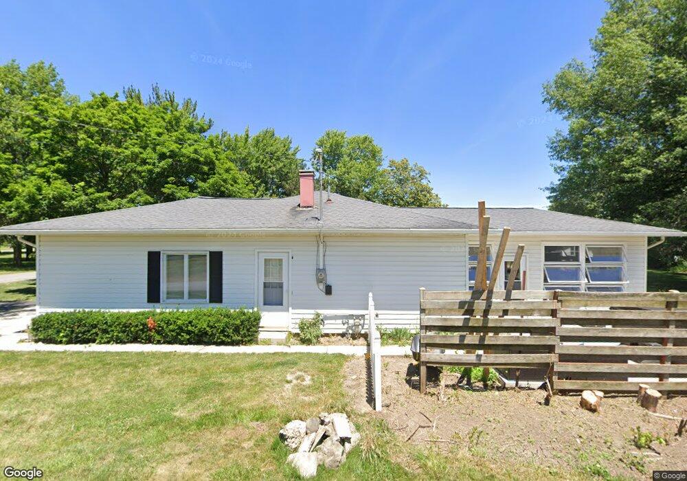
305 Scott St Mc Comb, OH 45858
McComb NeighborhoodEstimated Value: $164,000 - $218,000
3
Beds
2
Baths
1,512
Sq Ft
$123/Sq Ft
Est. Value
About This Home
This home is located at 305 Scott St, Mc Comb, OH 45858 and is currently estimated at $185,232, approximately $122 per square foot. 305 Scott St is a home with nearby schools including McComb Elementary School, McComb Middle School, and Mccomb Local High School.
Ownership History
Date
Name
Owned For
Owner Type
Purchase Details
Closed on
Feb 13, 2024
Sold by
James C Stoepfel C and James Janice L
Bought by
Wartgow Jason E
Current Estimated Value
Home Financials for this Owner
Home Financials are based on the most recent Mortgage that was taken out on this home.
Original Mortgage
$232,425
Outstanding Balance
$228,356
Interest Rate
6.66%
Mortgage Type
VA
Estimated Equity
-$43,124
Purchase Details
Closed on
Sep 6, 2019
Sold by
Stoepfel James C and Stoepfel Janice L
Bought by
Stoepfel James C and Stoepfel Janice L
Create a Home Valuation Report for This Property
The Home Valuation Report is an in-depth analysis detailing your home's value as well as a comparison with similar homes in the area
Home Values in the Area
Average Home Value in this Area
Purchase History
| Date | Buyer | Sale Price | Title Company |
|---|---|---|---|
| Wartgow Jason E | $225,000 | Golden Key Title | |
| Stoepfel James C | -- | None Available |
Source: Public Records
Mortgage History
| Date | Status | Borrower | Loan Amount |
|---|---|---|---|
| Open | Wartgow Jason E | $232,425 |
Source: Public Records
Tax History
| Year | Tax Paid | Tax Assessment Tax Assessment Total Assessment is a certain percentage of the fair market value that is determined by local assessors to be the total taxable value of land and additions on the property. | Land | Improvement |
|---|---|---|---|---|
| 2024 | $1,840 | $54,200 | $2,730 | $51,470 |
| 2023 | $1,520 | $54,200 | $2,730 | $51,470 |
| 2022 | $1,873 | $54,200 | $2,730 | $51,470 |
| 2021 | $1,632 | $44,310 | $2,470 | $41,840 |
| 2020 | $1,384 | $44,310 | $2,470 | $41,840 |
| 2019 | $1,565 | $44,310 | $2,470 | $41,840 |
| 2018 | $1,262 | $38,530 | $2,150 | $36,380 |
| 2017 | $634 | $38,530 | $2,150 | $36,380 |
| 2016 | $1,170 | $38,530 | $2,150 | $36,380 |
| 2015 | $1,039 | $34,270 | $2,300 | $31,970 |
| 2014 | $1,048 | $34,270 | $2,300 | $31,970 |
| 2012 | $1,373 | $40,810 | $2,300 | $38,510 |
Source: Public Records
Map
Nearby Homes
- 223 Cherry St
- 131 E South St
- 257 S Main St
- 0 Joshua Rd Unit 6126475
- 4609 Township Road 235
- 3470 Ohio 235
- 4134 County Road 203
- 3111 Township Road 93
- 4014 County Road 139
- 358 State Route 613
- 1128 County Road 139
- 7780 Township Road 89
- 0 Rock Candy Rd Unit Lot 159
- 0 Rock Candy Rd Unit Lot 170
- 0 Rock Candy Rd Unit Lot 172 206819
- 0 Rock Candy Rd Unit Lot 162
- 0 Rock Candy Rd Unit Lot 171
- 0 Rock Candy Rd Unit Lot 168
- 9894 Smokies Way
- 0 Rock Candy Rd Or Bushwillow Dr Unit Lot 173
- 306 Scott St
- 304 Scott St
- 136 W Cooper St
- 144 W Cooper St
- 143 W Oliver St
- 107 W Cooper St
- 310 Scott St
- 152 W Cooper St
- 156 W Cooper St
- 136 Cooper St
- 156 Cooper St
- 141 W Oliver St
- 124 W Perrin Ave
- 128 W Cooper St
- 139 W Oliver St
- 203 Cherry St
- 127 W Oliver St
- 151 W Cooper St
- 207 Cherry St
- 124 W Cooper St
Your Personal Tour Guide
Ask me questions while you tour the home.