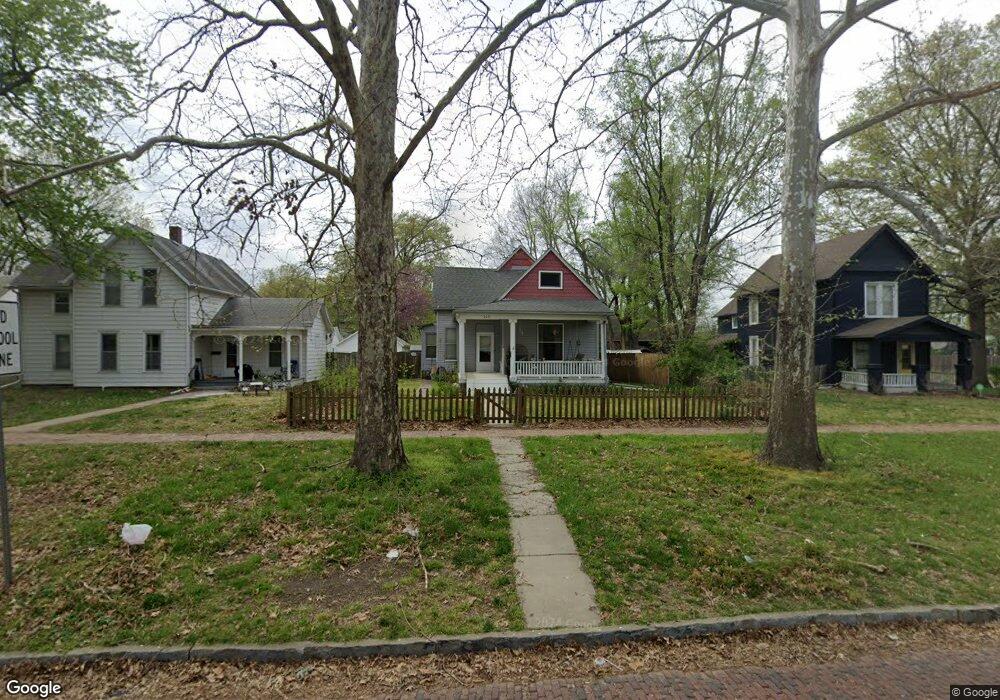
305 SW Clay St Topeka, KS 66606
Estimated Value: $99,000 - $148,000
2
Beds
1
Bath
1,417
Sq Ft
$83/Sq Ft
Est. Value
About This Home
This home is located at 305 SW Clay St, Topeka, KS 66606 and is currently estimated at $118,109, approximately $83 per square foot. 305 SW Clay St is a home located in Shawnee County with nearby schools including Rosenwald Elementary School, Martin Park Elementary School, and Meadows Elementary School.
Ownership History
Date
Name
Owned For
Owner Type
Purchase Details
Closed on
Jul 7, 2011
Sold by
Elrod Heather Didomenico and Elrod Atnhony Wayne
Bought by
Elrod Heather Didomenico and Elrod Anthony Wayne
Current Estimated Value
Purchase Details
Closed on
Jul 7, 2010
Sold by
Dehart Donald E and Dehart Marian B
Bought by
Didomenico Heather
Home Financials for this Owner
Home Financials are based on the most recent Mortgage that was taken out on this home.
Original Mortgage
$72,030
Outstanding Balance
$48,222
Interest Rate
4.87%
Mortgage Type
FHA
Estimated Equity
$69,887
Purchase Details
Closed on
Apr 21, 2005
Sold by
Wutherich Kristie and Wutherich Nathan A
Bought by
Dehart Donald E and Dehart Marian B
Home Financials for this Owner
Home Financials are based on the most recent Mortgage that was taken out on this home.
Original Mortgage
$39,391
Interest Rate
5.89%
Mortgage Type
New Conventional
Create a Home Valuation Report for This Property
The Home Valuation Report is an in-depth analysis detailing your home's value as well as a comparison with similar homes in the area
Home Values in the Area
Average Home Value in this Area
Purchase History
| Date | Buyer | Sale Price | Title Company |
|---|---|---|---|
| Elrod Heather Didomenico | -- | None Available | |
| Didomenico Heather | -- | First American Title | |
| Dehart Donald E | -- | Lawyers Title Of Topeka Inc |
Source: Public Records
Mortgage History
| Date | Status | Borrower | Loan Amount |
|---|---|---|---|
| Open | Didomenico Heather | $72,030 | |
| Previous Owner | Dehart Donald E | $39,391 |
Source: Public Records
Tax History Compared to Growth
Tax History
| Year | Tax Paid | Tax Assessment Tax Assessment Total Assessment is a certain percentage of the fair market value that is determined by local assessors to be the total taxable value of land and additions on the property. | Land | Improvement |
|---|---|---|---|---|
| 2025 | $1,325 | $10,561 | -- | -- |
| 2023 | $1,325 | $9,489 | $0 | $0 |
| 2022 | $1,279 | $8,868 | $0 | $0 |
| 2021 | $1,244 | $8,062 | $0 | $0 |
| 2020 | $1,062 | $6,995 | $0 | $0 |
| 2019 | $1,046 | $6,859 | $0 | $0 |
| 2018 | $1,016 | $6,659 | $0 | $0 |
| 2017 | $1,018 | $6,659 | $0 | $0 |
| 2014 | $1,126 | $7,263 | $0 | $0 |
Source: Public Records
Map
Nearby Homes
- 306 SW Clay St
- 223 SW Fillmore St
- 216 SW Fillmore St
- 131 SW Clay St
- 505 SW Clay St
- 435 SW Western Ave
- 511 SW Buchanan St
- 425 SW Taylor St
- 433 SW Lincoln St
- 509 SW Taylor St
- 215 SW Courtland Ave
- 411 SW Tyler St
- 136 NW Quinton Ave
- 634 SW Lincoln St
- 705 SW 6th Ave
- 711 SW Buchanan St
- 400 SW Topeka Blvd
- 731 SW Lincoln St
- 609 SW Topeka Blvd
- 312 SW Elmwood Ave