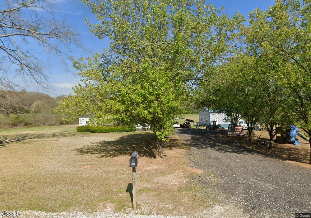
305 Thunder Rd Carnesville, GA 30521
Estimated Value: $337,000 - $790,999
4
Beds
3
Baths
2,160
Sq Ft
$261/Sq Ft
Est. Value
About This Home
This home is located at 305 Thunder Rd, Carnesville, GA 30521 and is currently estimated at $564,000, approximately $261 per square foot. 305 Thunder Rd is a home located in Franklin County with nearby schools including Franklin County High School.
Ownership History
Date
Name
Owned For
Owner Type
Purchase Details
Closed on
Sep 24, 2024
Sold by
Lingerfelt Rachel Faye
Bought by
Lingerfelt Brantley R and Lingerfelt Rachel Faye
Current Estimated Value
Purchase Details
Closed on
Oct 11, 2023
Sold by
Lingerfelt Faye
Bought by
Lingerfelt Brantley
Purchase Details
Closed on
Nov 23, 2010
Sold by
Lewis Jessica
Bought by
Lingerfelt Vernon
Purchase Details
Closed on
Feb 4, 2004
Sold by
Lingerfelt Vernon
Bought by
Lewis Jessica
Purchase Details
Closed on
Apr 11, 1997
Bought by
Lingerfelt Vernon
Create a Home Valuation Report for This Property
The Home Valuation Report is an in-depth analysis detailing your home's value as well as a comparison with similar homes in the area
Home Values in the Area
Average Home Value in this Area
Purchase History
| Date | Buyer | Sale Price | Title Company |
|---|---|---|---|
| Lingerfelt Brantley R | -- | -- | |
| Lingerfelt Brantley | -- | -- | |
| Lingerfelt Vernon | -- | -- | |
| Lewis Jessica | $85,000 | -- | |
| Lingerfelt Vernon | $74,400 | -- |
Source: Public Records
Tax History Compared to Growth
Tax History
| Year | Tax Paid | Tax Assessment Tax Assessment Total Assessment is a certain percentage of the fair market value that is determined by local assessors to be the total taxable value of land and additions on the property. | Land | Improvement |
|---|---|---|---|---|
| 2024 | $3,396 | $258,034 | $117,050 | $140,984 |
| 2023 | $3,508 | $244,694 | $112,714 | $131,980 |
| 2022 | $3,177 | $208,203 | $87,456 | $120,747 |
| 2021 | $3,281 | $189,678 | $87,456 | $102,222 |
| 2020 | $3,193 | $171,246 | $72,880 | $98,366 |
| 2019 | $2,999 | $168,012 | $72,880 | $95,132 |
| 2018 | $2,700 | $140,707 | $56,165 | $84,542 |
| 2017 | $2,793 | $140,707 | $56,165 | $84,542 |
| 2016 | $2,803 | $137,256 | $56,165 | $81,091 |
Source: Public Records
Map
Nearby Homes
- 9 Dons Ct
- 31 Dons Ct
- 1000 Nails Creek Crossing
- 41 Manley Terrace
- 0 Nails Creek Crossing Unit 10584678
- 4308 Athens Rd
- 8188 Sandy Cross Rd
- 689 Riverside Ct
- 1291 Brays Lake Rd
- 166 Timberlane Dr
- 1079 Hardeman Farm Rd
- HWY 51 Owl Hollow Rd
- 24 Tomlin Way
- 775 Riverbend Rd
- 1020 Riverbend Rd
- 2695 Brays Lake Rd
- 7527 Highway 326
- 0 Old Federal Rd Unit 6931372
- 0 Varner Rd
- 0 Georgia 198
- 2566 Cole Rd
- 234 Neal Little Rd
- 270 Neal Little Rd
- 2147 Neal Little Rd
- 2041 Neal Little Rd
- 2415 Cole Rd
- 2587 Cole Rd
- 1987 Neal Little Rd
- 2011 Neal Little Rd
- 2081 Neal Little Rd
- 2250 Cole Rd
- 1959 Neal Little Rd
- 2625 Cole Rd
- 2627 Cole Rd
- 2629 Cole Rd
- 1827 Neal Little Rd
- 1807 Neal Little Rd
- 2794 Cole Rd
- 2251 Cole Rd
- 1575 Neal Little Rd