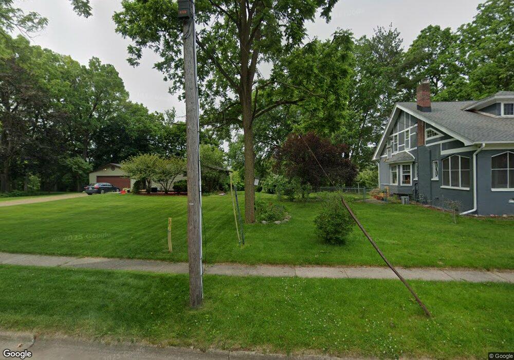
305 W 1st Ave Plainwell, MI 49080
Estimated Value: $121,000 - $215,000
3
Beds
2
Baths
1,420
Sq Ft
$124/Sq Ft
Est. Value
About This Home
This home is located at 305 W 1st Ave, Plainwell, MI 49080 and is currently estimated at $175,829, approximately $123 per square foot. 305 W 1st Ave is a home located in Allegan County with nearby schools including Plainwell High School and Otsego Christian Academy.
Ownership History
Date
Name
Owned For
Owner Type
Purchase Details
Closed on
Feb 25, 2008
Sold by
First Community Fcu
Bought by
Bird Kyle J
Current Estimated Value
Purchase Details
Closed on
Aug 2, 2007
Sold by
Peterson Steven D and Peterson Maria N
Bought by
First Community Fcu
Purchase Details
Closed on
Jul 22, 1997
Sold by
Keeler Robert C and Keeler Thelma
Bought by
Beier Glenn H and Beier Delphine
Create a Home Valuation Report for This Property
The Home Valuation Report is an in-depth analysis detailing your home's value as well as a comparison with similar homes in the area
Home Values in the Area
Average Home Value in this Area
Purchase History
| Date | Buyer | Sale Price | Title Company |
|---|---|---|---|
| Bird Kyle J | $44,000 | Devon Title Agency | |
| First Community Fcu | $50,000 | None Available | |
| Beier Glenn H | $60,500 | -- |
Source: Public Records
Tax History
| Year | Tax Paid | Tax Assessment Tax Assessment Total Assessment is a certain percentage of the fair market value that is determined by local assessors to be the total taxable value of land and additions on the property. | Land | Improvement |
|---|---|---|---|---|
| 2025 | $1,668 | $62,600 | $26,500 | $36,100 |
| 2024 | $1,499 | $54,800 | $22,500 | $32,300 |
| 2023 | $1,482 | $49,000 | $21,400 | $27,600 |
| 2022 | $1,499 | $44,600 | $19,600 | $25,000 |
| 2021 | $1,444 | $40,900 | $17,700 | $23,200 |
| 2020 | $1,425 | $35,600 | $14,500 | $21,100 |
| 2019 | $1,325 | $33,300 | $12,500 | $20,800 |
| 2018 | $0 | $32,400 | $13,100 | $19,300 |
| 2017 | $0 | $28,800 | $9,800 | $19,000 |
| 2016 | $0 | $20,900 | $4,400 | $16,500 |
| 2015 | -- | $20,900 | $4,400 | $16,500 |
| 2014 | -- | $19,500 | $3,700 | $15,800 |
| 2013 | -- | $19,400 | $4,600 | $14,800 |
Source: Public Records
Map
Nearby Homes
- 140 W 1st Ave
- 426 W Bridge St
- 233 Washington Ave
- 551 W Bridge St
- 317 E Chart St
- 355 12th St
- 1170 W Bridge St
- 1036 Sir Knight Rd
- 721 E Bridge St
- 1056 Elmwood St
- V/L Bronson Ave
- 1046 Bronson Ave
- 830 Miller Rd Unit 26.98 Acres
- 1224 102nd Ave
- 770 Miller Rd
- 1038 Allen Ct
- 323 13th St
- 716 10th St
- VL 107th Ave
- 1006 Goodsell St
Your Personal Tour Guide
Ask me questions while you tour the home.