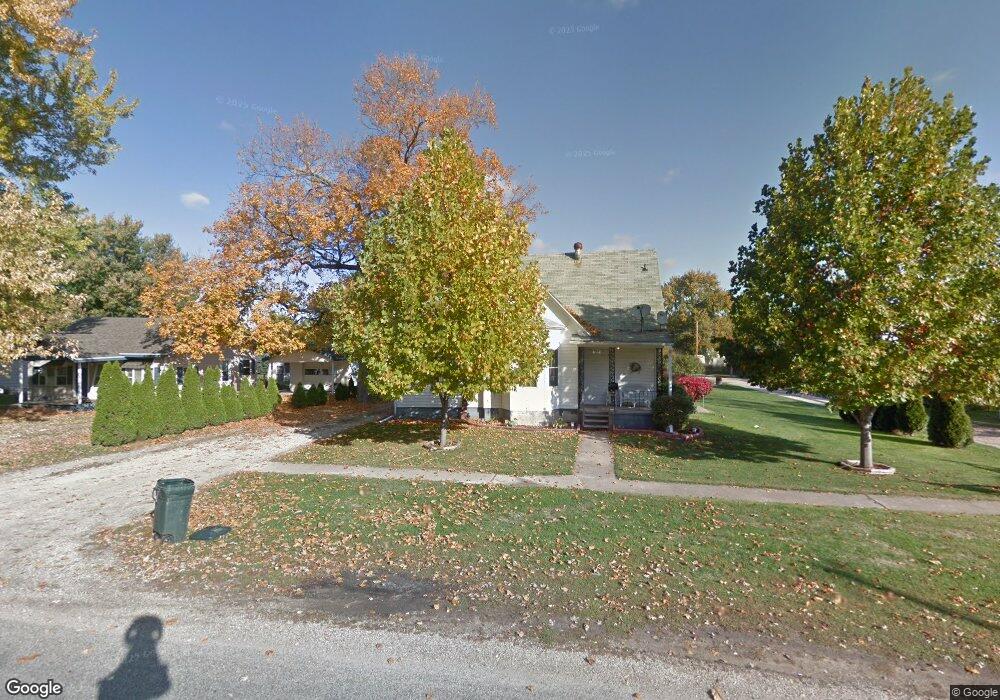
305 W Adams St Abingdon, IL 61410
Estimated Value: $80,000 - $117,000
--
Bed
--
Bath
1,192
Sq Ft
$80/Sq Ft
Est. Value
About This Home
This home is located at 305 W Adams St, Abingdon, IL 61410 and is currently estimated at $95,762, approximately $80 per square foot. 305 W Adams St is a home located in Knox County with nearby schools including Hedding Grade School, Avon Elementary School, and Abingdon-Avon Middle School.
Ownership History
Date
Name
Owned For
Owner Type
Purchase Details
Closed on
Nov 15, 2011
Sold by
Debra Thompson
Bought by
Baughman Douglas E
Current Estimated Value
Home Financials for this Owner
Home Financials are based on the most recent Mortgage that was taken out on this home.
Original Mortgage
$38,430
Outstanding Balance
$3,887
Interest Rate
4.02%
Mortgage Type
New Conventional
Estimated Equity
$91,875
Create a Home Valuation Report for This Property
The Home Valuation Report is an in-depth analysis detailing your home's value as well as a comparison with similar homes in the area
Home Values in the Area
Average Home Value in this Area
Purchase History
| Date | Buyer | Sale Price | Title Company |
|---|---|---|---|
| Baughman Douglas E | $43,000 | Attorney Only |
Source: Public Records
Mortgage History
| Date | Status | Borrower | Loan Amount |
|---|---|---|---|
| Open | Baughman Douglas E | $38,430 |
Source: Public Records
Tax History Compared to Growth
Tax History
| Year | Tax Paid | Tax Assessment Tax Assessment Total Assessment is a certain percentage of the fair market value that is determined by local assessors to be the total taxable value of land and additions on the property. | Land | Improvement |
|---|---|---|---|---|
| 2024 | $2,120 | $26,010 | $4,920 | $21,090 |
| 2023 | $2,120 | $23,470 | $4,440 | $19,030 |
| 2022 | $1,621 | $18,430 | $4,220 | $14,210 |
| 2021 | $1,590 | $17,720 | $4,060 | $13,660 |
| 2020 | $1,536 | $17,030 | $3,900 | $13,130 |
| 2019 | $1,579 | $16,860 | $3,860 | $13,000 |
| 2018 | $1,536 | $16,370 | $3,750 | $12,620 |
| 2017 | $1,522 | $16,050 | $3,680 | $12,370 |
| 2015 | -- | $15,740 | $3,610 | $12,130 |
| 2013 | $901 | $15,580 | $3,570 | $12,010 |
Source: Public Records
Map
Nearby Homes
- 500 N Monroe St
- 103 N Swarts St
- 108 W Jackson St
- 405 W Memorial Dr
- 106 E Jackson St
- 204 E Adams St
- 407 W Martin St
- 306 N Harshbarger St
- 204 S Washington St
- 704 N Cherry St
- 214 S Main St
- 205 N Austin Ave
- 206 W Lower St
- 211 S Froelich Ln
- 403 1/2 E Jared St
- 103 W Givens St
- 369 Knox Highway 23
- 1196 160th St
- 1077 Knox Road 500 E
- 572 Knox Highway 26
- 309 W Adams St
- 602 N Monroe St
- 403 W Adams St
- 600 N Monroe St
- 507 N Swarts Ave
- 604 N Monroe St
- 606 N Monroe St
- 505 N Swarts Ave
- 506 N Monroe St
- 405 W Adams St
- 524 N Monroe St
- 608 N Monroe St
- 300 W North St
- 504 N Swarts Ave
- 504 N Monroe St
- 302 W North St
- 305 W Monmouth St
- 307 W Monmouth St
- 700 N Monroe St
- 601 N Monroe St